This mountain belongs to the Northern Yatsugatake region of the Yatsugatake mountain range in Nagano Prefecture.
The elevation of Shimakareyama is 2,403 m and that of Chausuyama is 2,384 m.
Both mountains are around 2,000m high, but you can easily enjoy them by using the ropeway.
The charm of the mountains
top
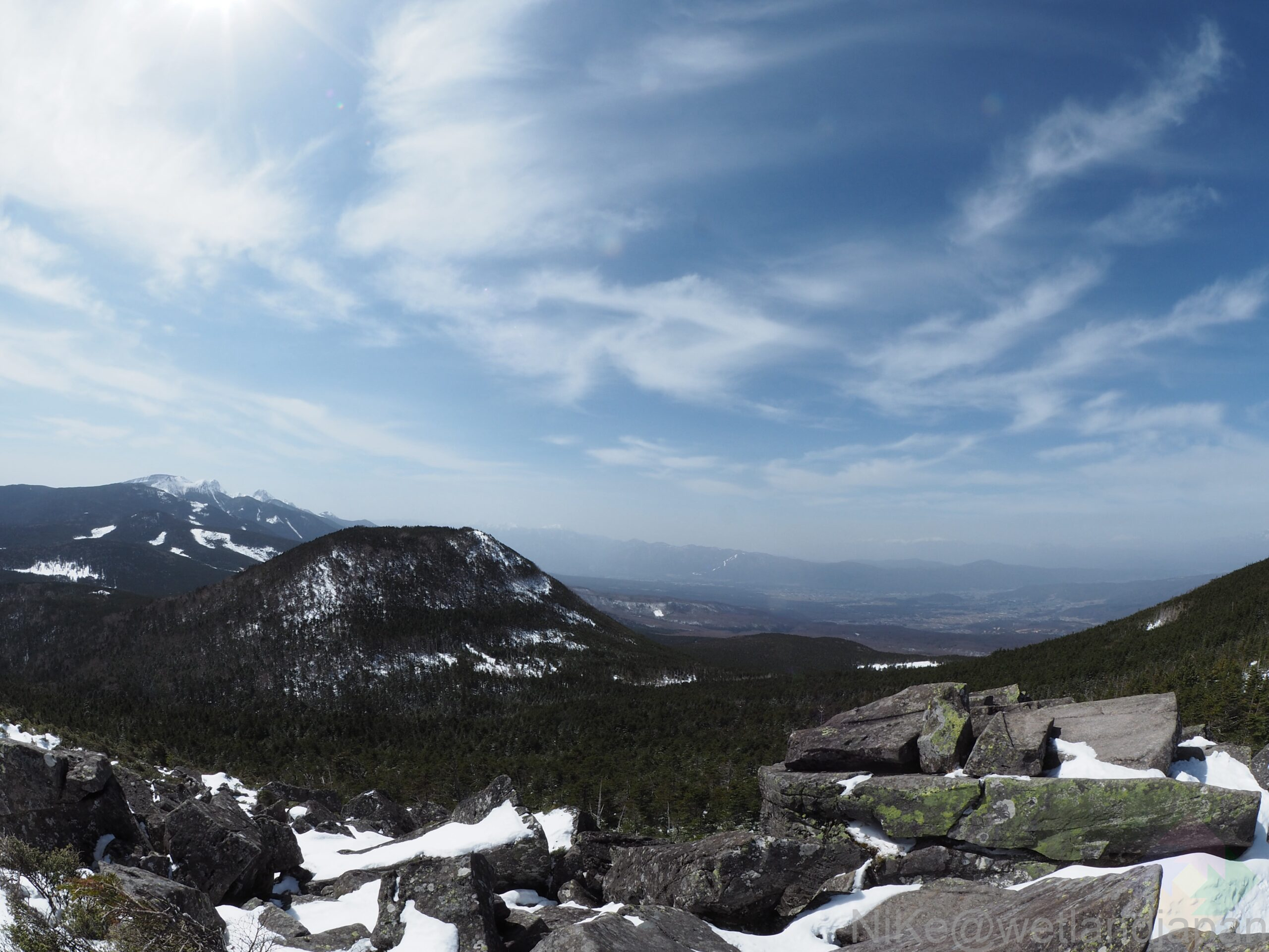
Observation Deck of Shimagareyama
The summit of Shimakareyama is surrounded by trees.
Instead, there is an observation deck where you can enjoy the beautiful scenery.
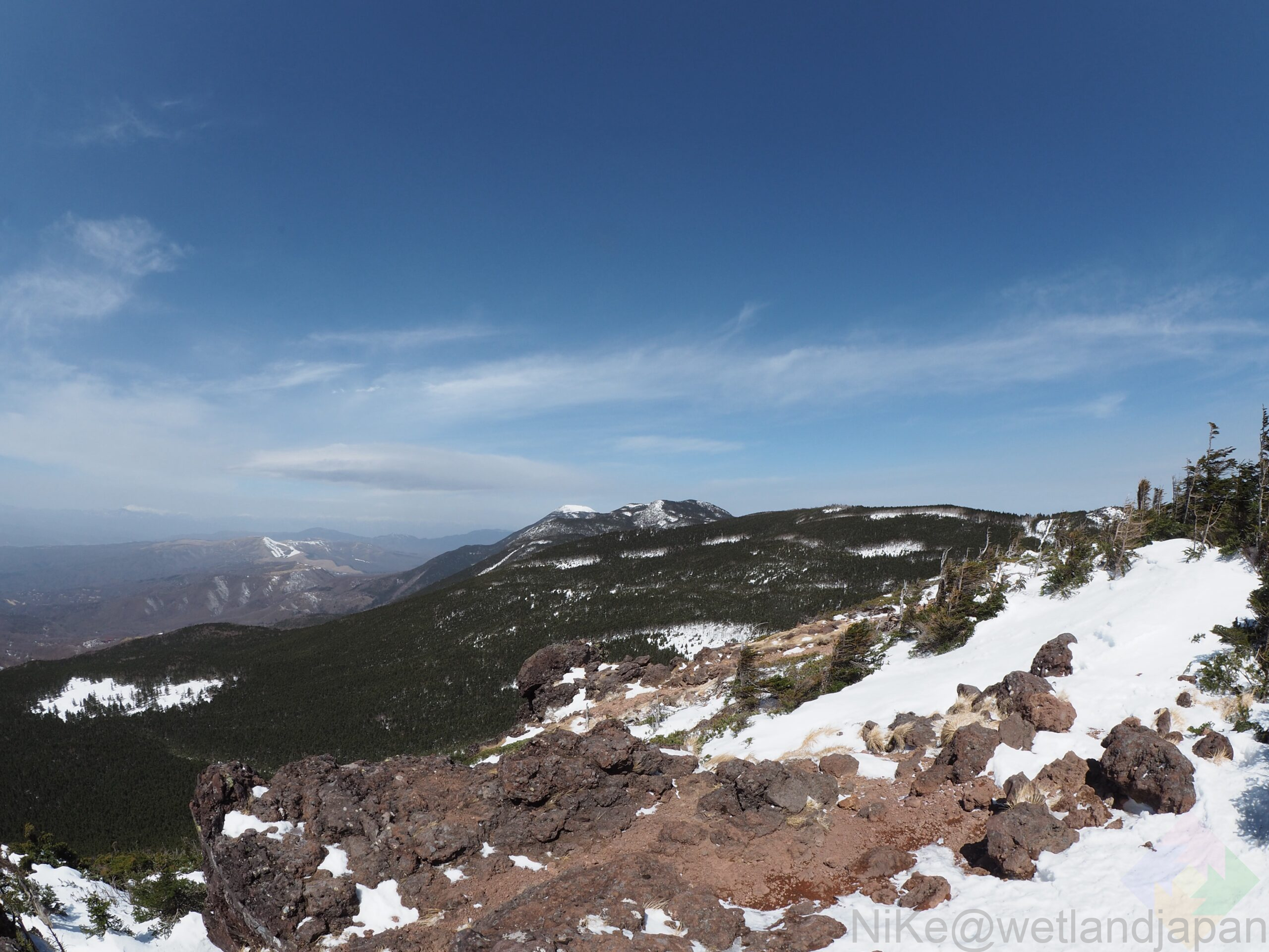
▼Chausu Mountain Summit
It's quite warm, so the rock surface is exposed.
This observation deck also offers an overwhelming view, just like the one at Shimakareyama.
scenery
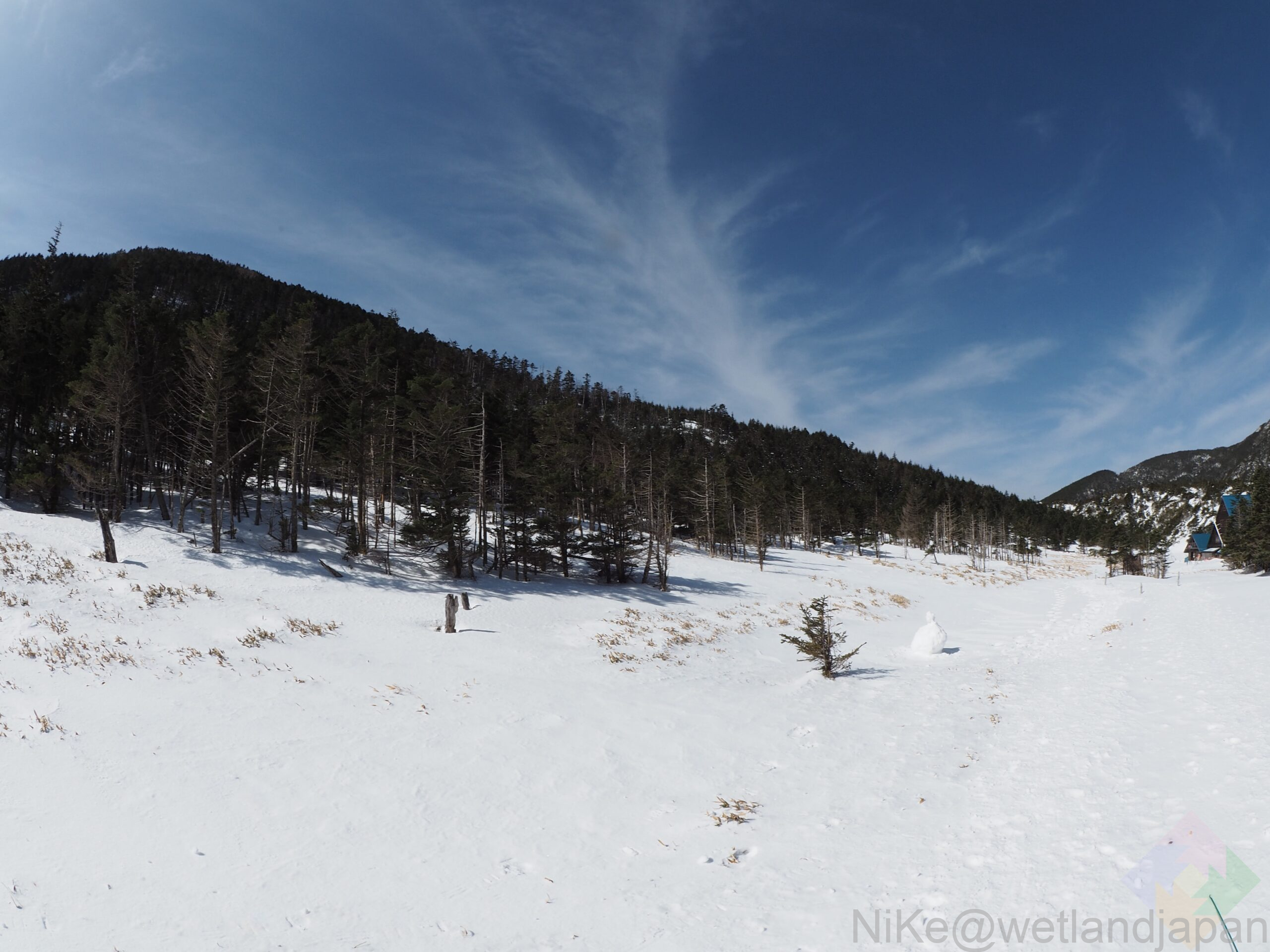
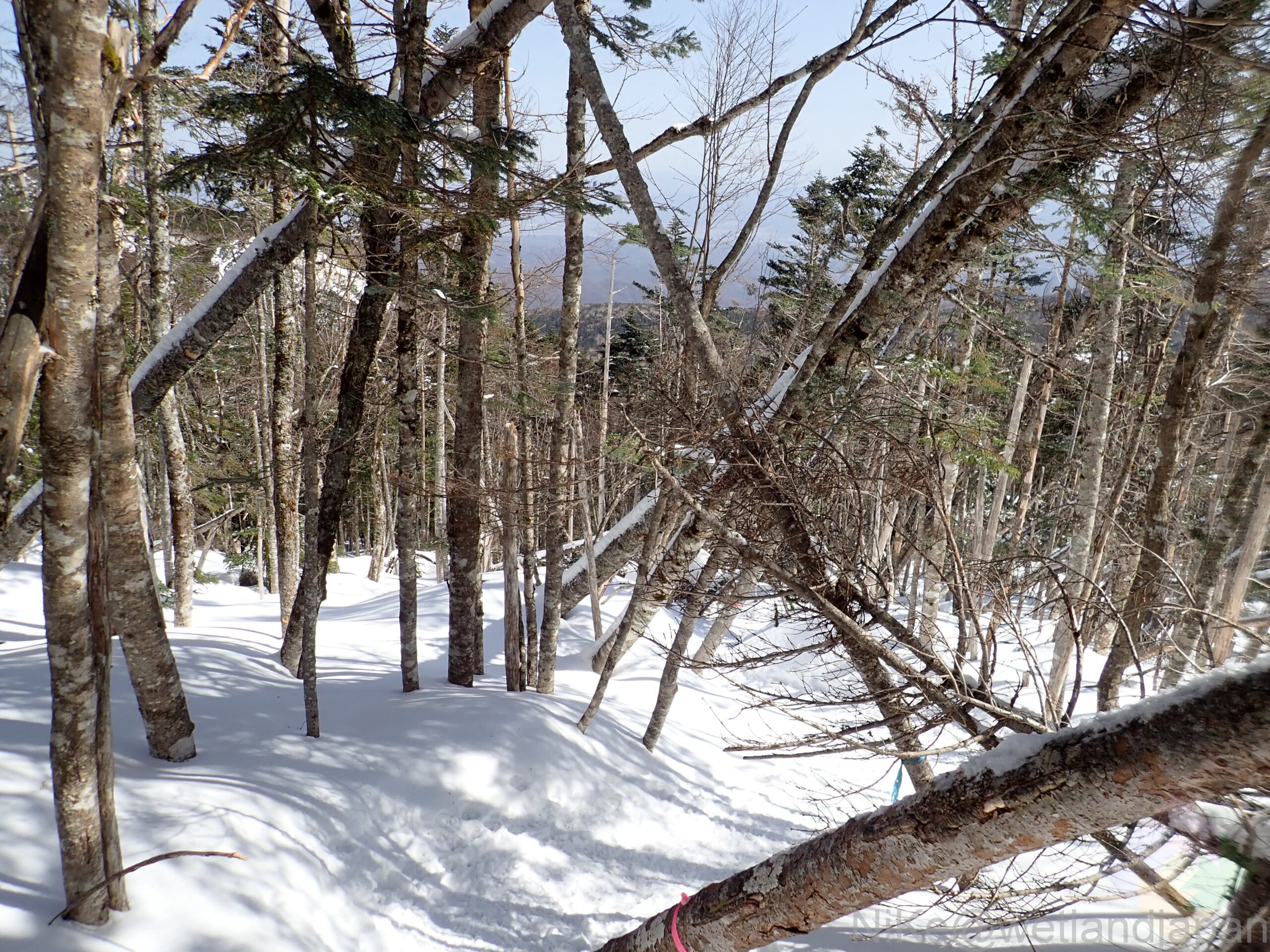
▼When you get off the ropeway, you will see a vast snowy field.
environment
▼The Shimakare phenomenon, which is also the origin of the name Shimakareyama
A phenomenon in which trees die in strips along contour lines.
Bands of leafy and dead trees are repeated, looking like stripes from a distance.
About the Mountain
About the route
Base station - Kita Yatsugatake Ropeway → Summit station → Shimakare Sanso → Ameike Pass → Shimakareyama summit → Observation deck → Chausuyama → Gotsuji → Summit station - Kita Yatsugatake Ropeway → Base station
Equipment
The path from Ameike Pass to the top of Shimakareyama is very steep, so crampons are necessary.
Most climbers carry either an ice axe or walking sticks, with the impression that more people are using walking sticks.
Both Shimakareyama and Chausuyama are scenic spots where the wind is often very strong, so it's essential to bring clothing to protect yourself from the cold.
It's not cold in the forest.
Physical strength and skills
There are no particularly difficult sections, so you just have to keep walking!
If you take the first ropeway departure, you will have plenty of time, so it's a no-brainer even if you're not confident in your physical strength.
Mountain facility information
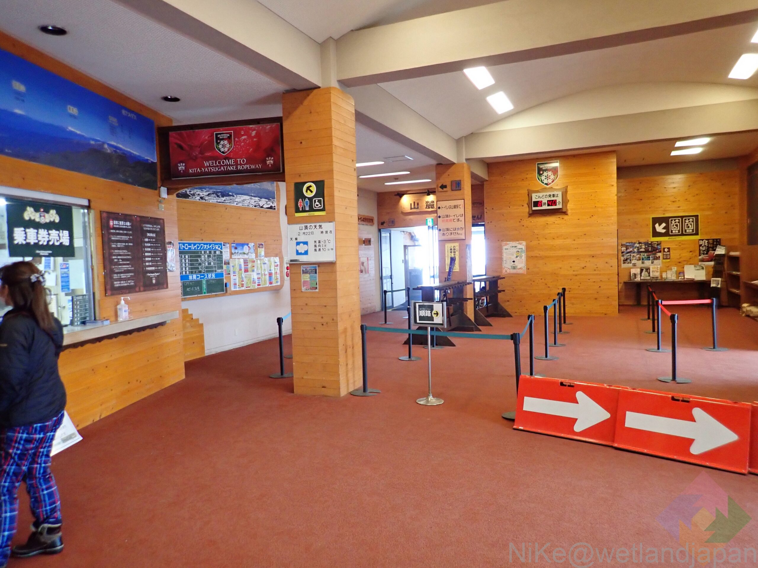
Ropeway
It takes about 8 minutes to climb from the base station (1,771m above sea level) to the summit station (2,237m above sea level).
There seem to be more skiers and snowboarders than hikers.
In winter, it runs from 9:00 to 16:00, taking 20 minutes.
Round trip adult fare is 1,900 yen (200 yen discount with JAF card or Montbell card).
Round trip for children is 950 yen (up to 2 preschoolers per adult are free)
The official website of the Kita Yatsugatake Ropeway isHere
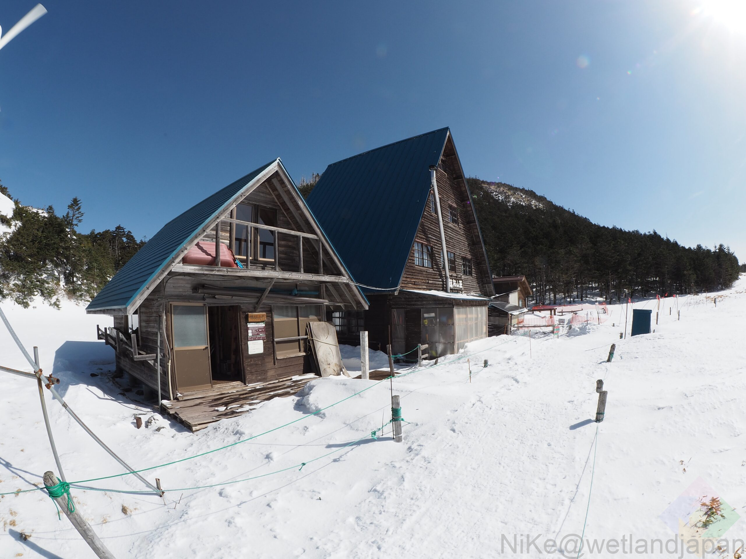
Mountain hut
▼ Shimakare Sanso (websiteHere)
toilet
It's located at the ropeway base station, so you don't have to search for it on the way to the trailhead, which is convenient.
Sanroku Station: Free to use
Summit Station: Free to use (or at least it was!)
Shimakare Mountain Lodge
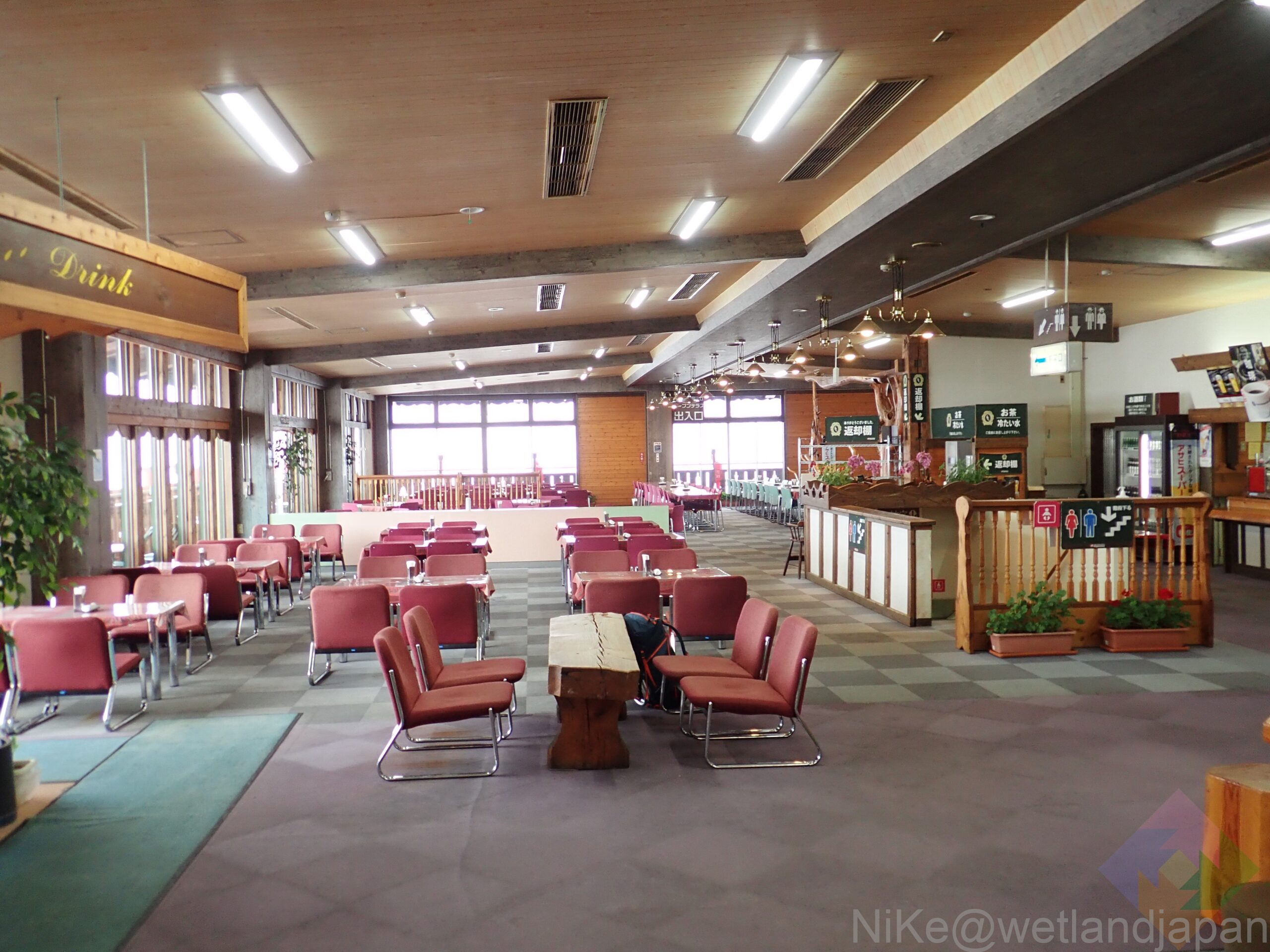
Facilities around the trailhead
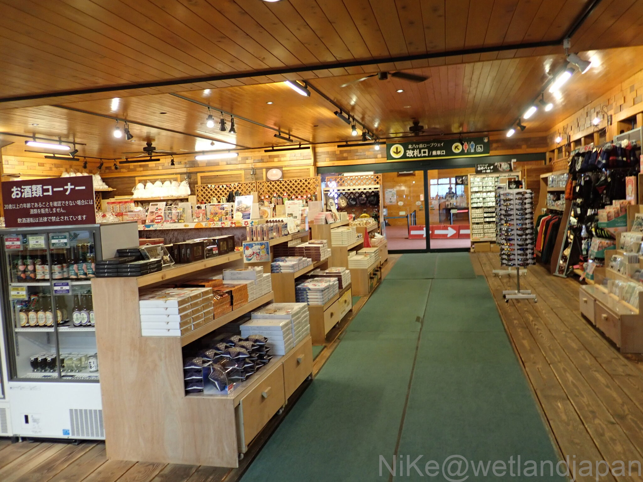
▼Souvenir shop
▼Restaurant
access
public transport
From Chino Station, take the local bus (Alpico Transportation Co., Ltd.) to the ropeway base station.
car
About 40 minutes from Suwa IC.
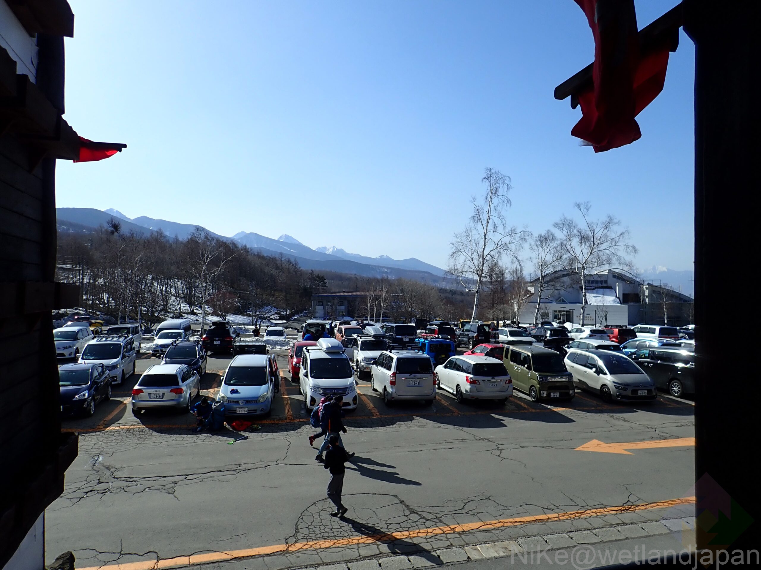
The altitude at the base of the ropeway is 1,771 m. The road is also very steep.
The snow has been removed, butStudless tires and chains are essential in winter.
▼The parking lot is large, but it gradually gets crowded because people also come here to ski and snowboard.
The photo was taken around 8am on Saturday.
Preparation before climbing
There are several convenience stores immediately after exiting Suwa IC.
The amount of water decreases as you get closer to the trailhead, so it's better to get in early if you need to.
Toilets and other facilities are available at the base of the mountain, so be sure to use them.
weather
The weather at Shimakareyama isHerefrom!
Nearby facility information
Nearby convenience stores
There are two convenience stores after exiting Suwa IC.
▼Seven fans
▼ People who prefer Family Mart
hot spring
▼Tateshina Onsen Public Bath
The water is hot, making it perfect for coming back from the mountains in winter.
Adults 500 yen, elementary school students 300 yen
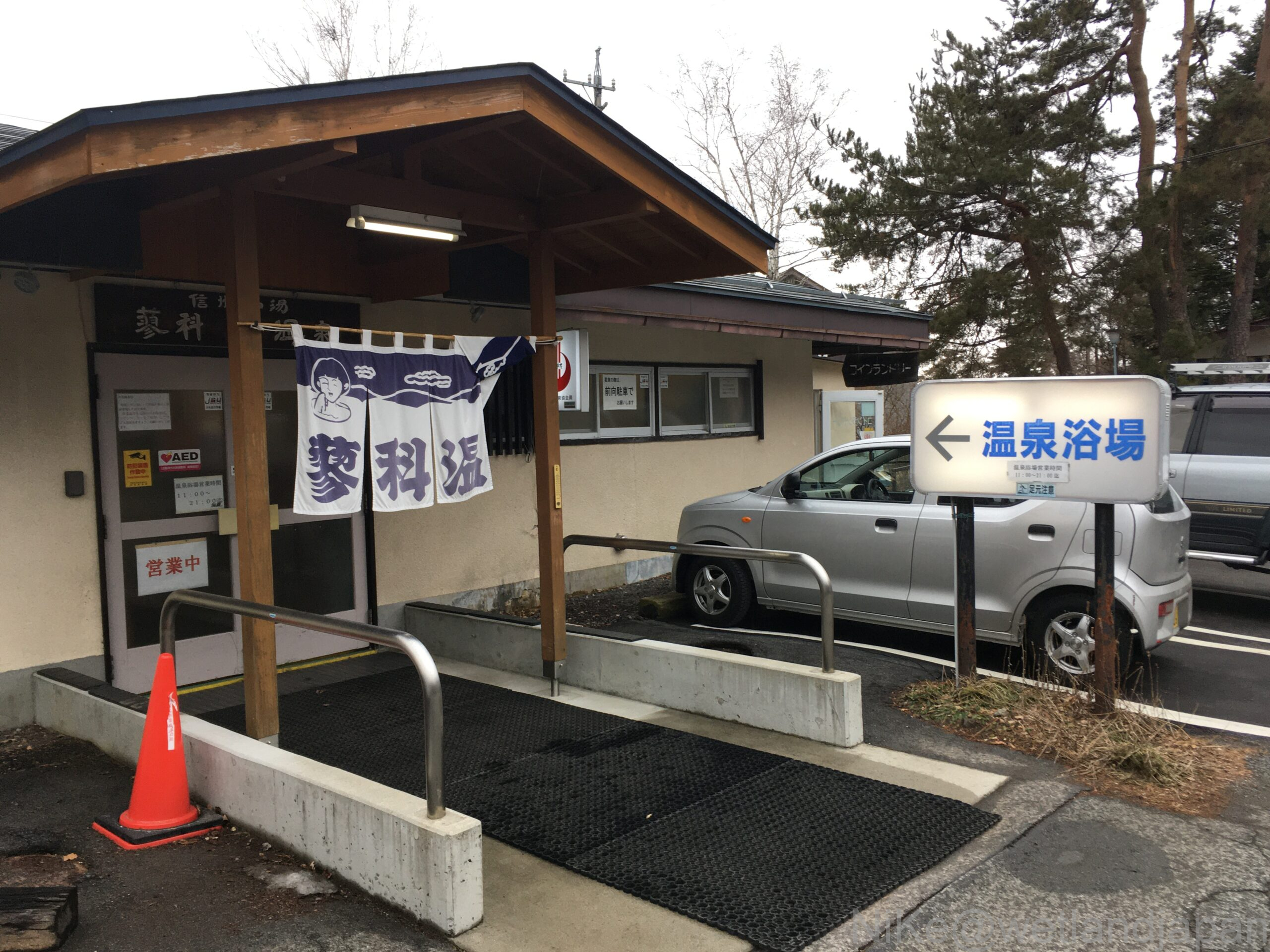
▼It takes 12 minutes from the Kita Yatsugatake Ropeway parking lot to Tateshina Onsen Public Baths, so it's perfect for a night stop on the way back.
▼Click here to read the mountaineering diary!
Comments