Tanzawa-Hirugatake traverse mountaineering information
This route allows you to enjoy both Mt. Tanzawa, one of the 100 famous mountains, and Mt. Hirugatake, the highest peak in Kanagawa, at the same time.
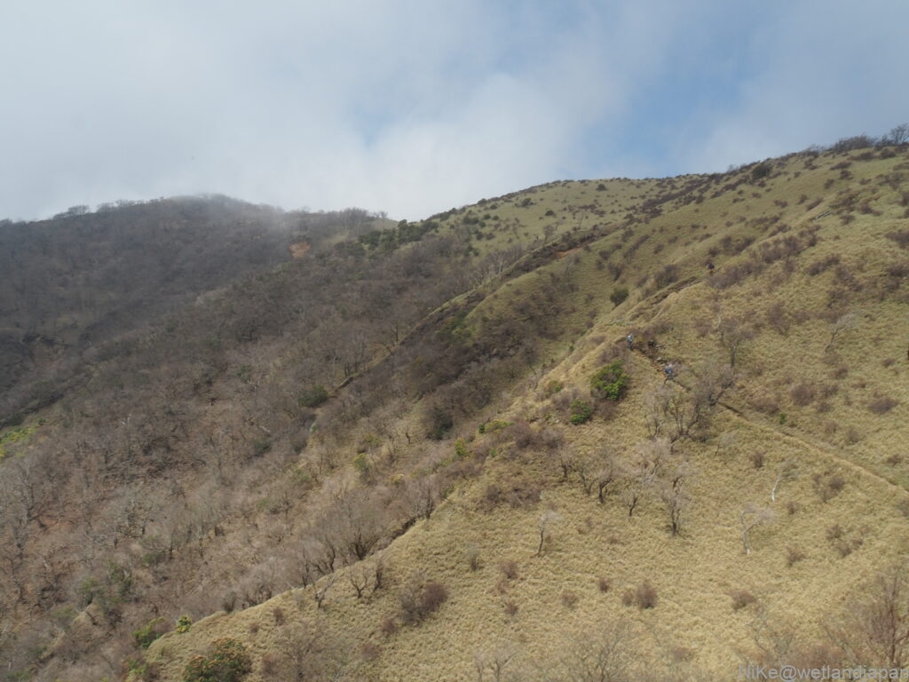
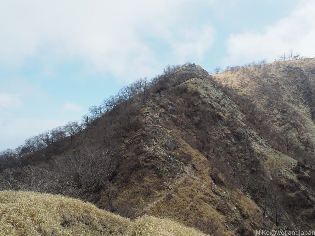
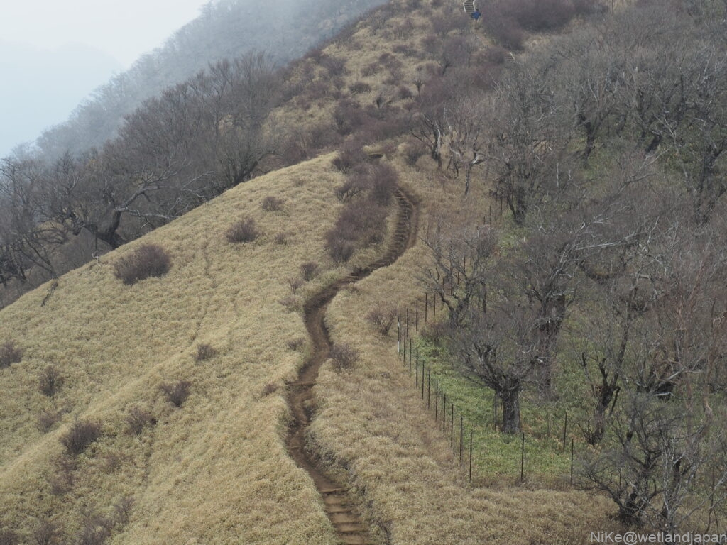
The view of the ridgeline from Mt. Tanzawa to Mt. Hirugatake is spectacular and well worth the effort.
table of contents
The charm of the mountains
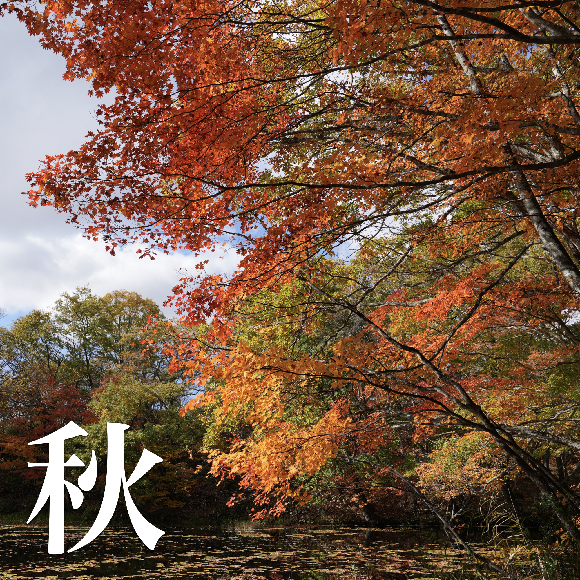
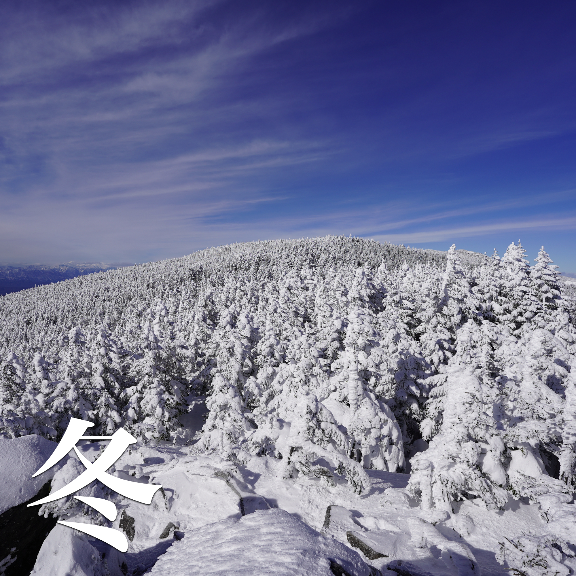
scenery
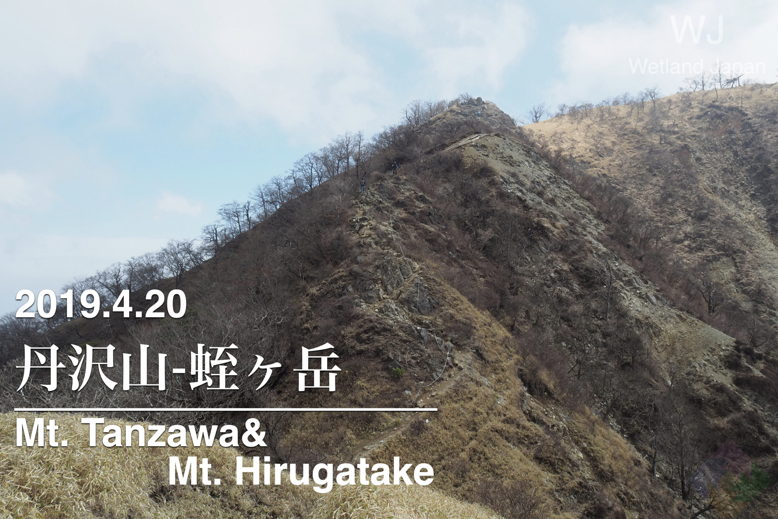
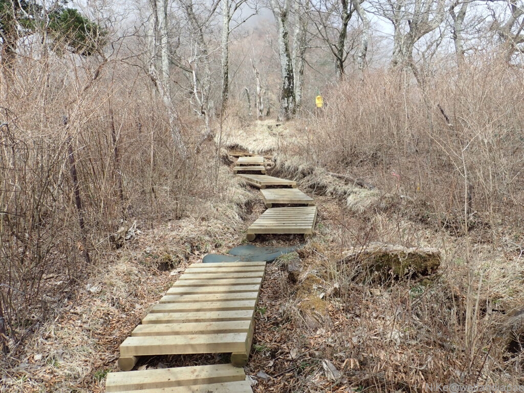
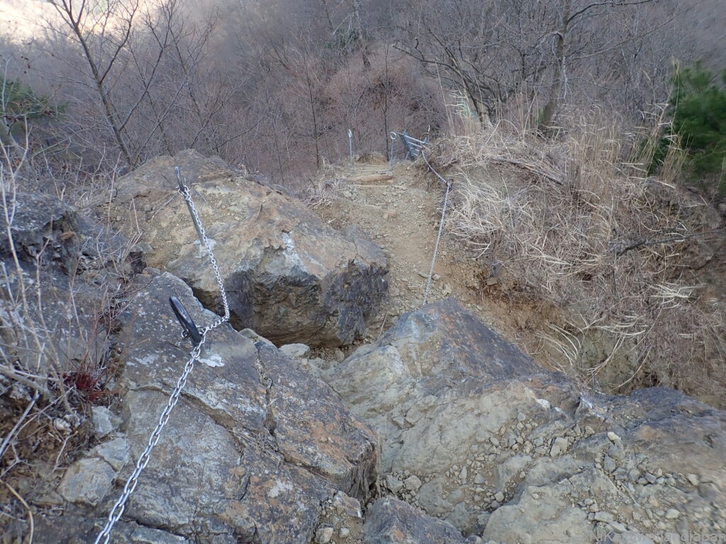
▼The road from Mt. Tanzawa to Mt. Hirugatake is open and offers great views.
top
There's nothing particularly interesting at the top, but both are spacious and easy to get lunch or coffee at.
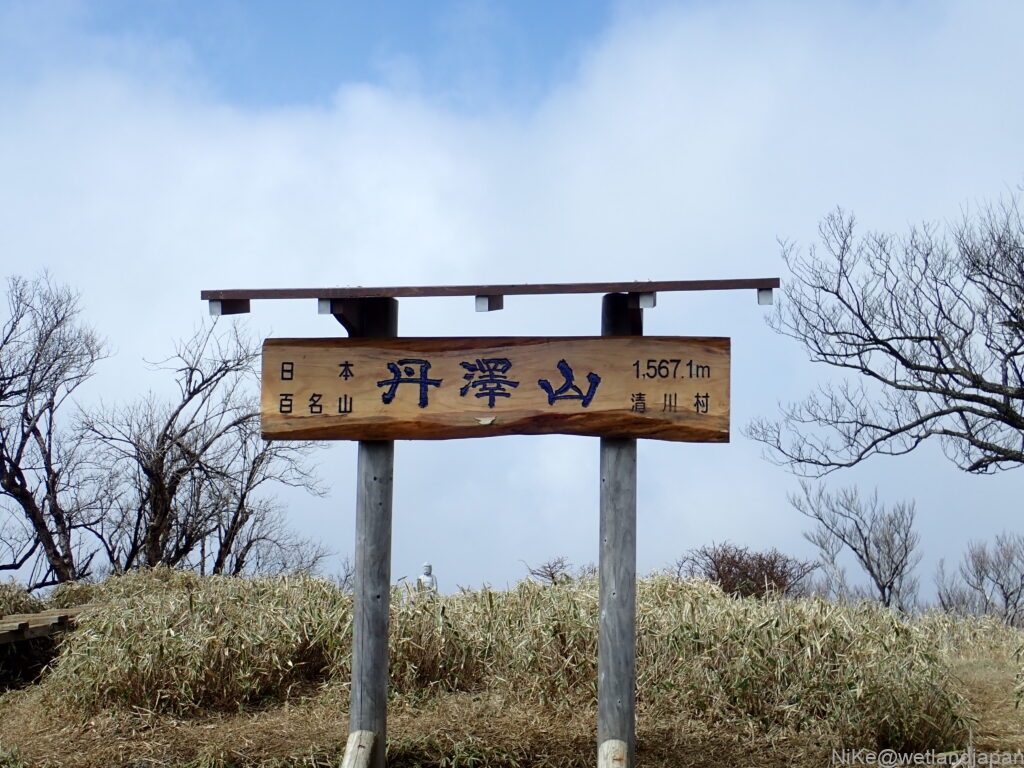
▼Tanzawayama (1567m)
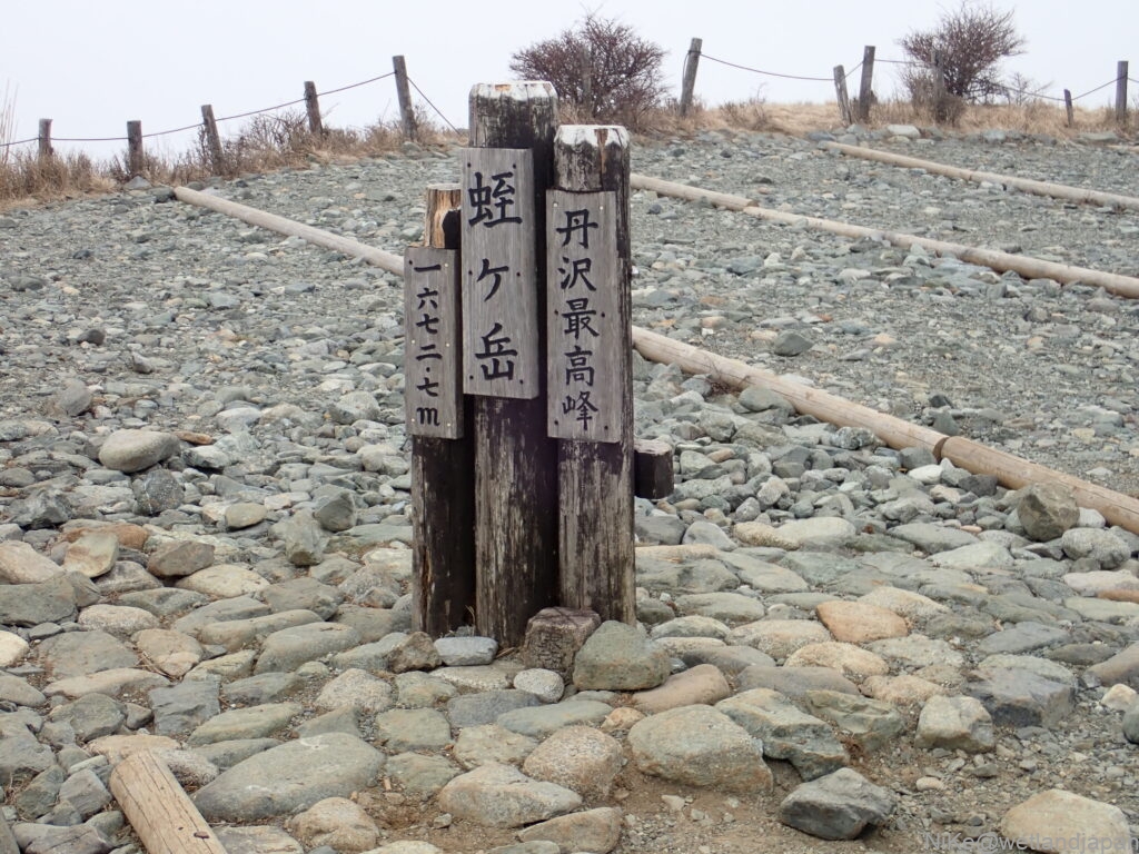
▼Hirugatake (1673m)
▼Click here for more details!
Let's go to the mountains!
About the route
Shiomizu Bridge → Tennoji Pass → Tennoji Ridge Junction → Tanzawa Mountain → Tanazawano Head → Hirugadake → Tanzawa Mountain → Tennoji Ridge Junction → Trailhead → Shiomizu Bridge
Course time: Approximately 10 hours
Equipment, stamina, and skills
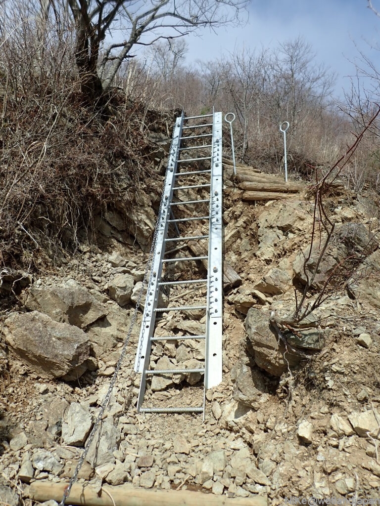
If you have standard mountaineering equipment, you won't have any problems.
The course is long, so you'll need to be physically fit.
Weather information
The weather in Tanzawa isHerefrom!
Mountain facility information
Mountain hut
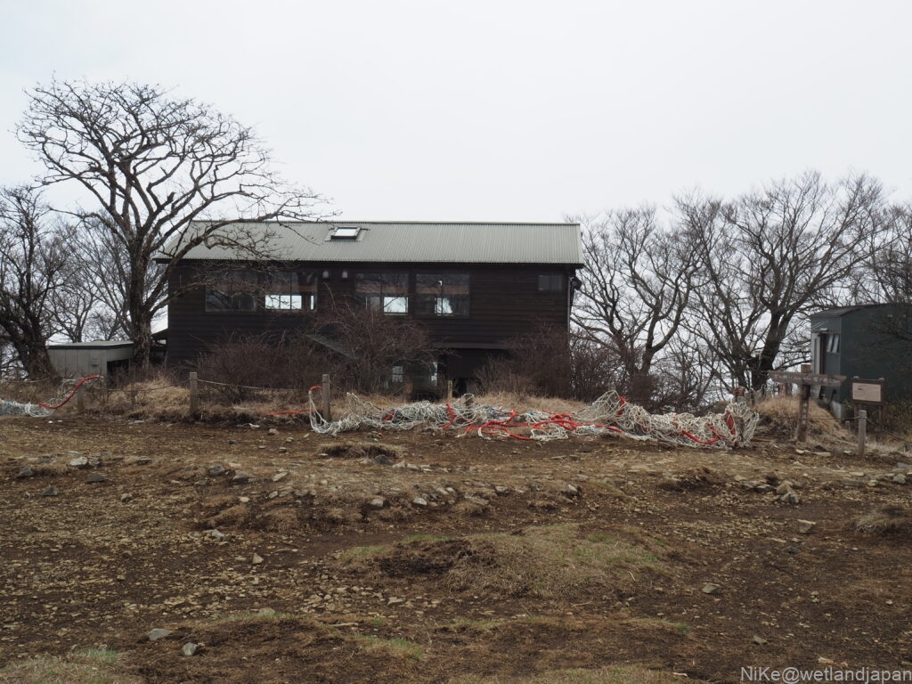
・Miyama Sanso: A mountain hut on the summit of Mt. Tanzawa
The mountain hut website isHere
・Hirugatake Mountain Lodge: A mountain hut on the summit of Hirugatake Mountain
The mountain hut website isHere
toilet
This course isThere are no toilets near the trailheadFurthermore, the first toilet is at the top of Mt. Tanzawa, so it's a good idea to go to one around the time you get off at Sagamihara IC.
・Tanzawa Mountain Peak (100 yen)
・Hirugatake Mountain Lodge (100 yen)
access
There is no public transport nearby, so travelling by car is the norm.
30 minutes by car from Sagamihara IC on the Ken-o Expressway
By car
Exit the Ken-o Expressway at Sagami IC and head towards Sagamiko on Prefectural Route 510.
At the intersection of National Route 412, head towards Sagamiko and Mikage.
At the Seki intersection, turn left onto Prefectural Route 513 towards Miyagase and Toriya.
Continue along the road and turn right when it reaches Lake Miyagase (it becomes Prefectural Route 64 along the way).
After passing Miyagase Lakeside Park, turn right at the Miyagase Kitahara intersection and head towards Ybitsu Pass on Prefectural Route 70.
Just follow the road, but the road narrows and becomes a single lane near Chojayashiki Campground.
The road is slightly wider around the parking lot.
point
・Even if the shoulder is includedLimited parking space (approximately 20-30 cars)So if you're heading out on a holiday, you'll need to arrive early in the morning.
・The road to Shiomi BridgeThe single lane road continues for about 5 km.So you need to be careful when driving
Use Google Maps and car navigation
Google Maps can navigate you to your destination, Shiozu Bridge.
If you cannot make Shiomizu Bridge your destination, you can get close by setting Choja Yashiki Campground as your destination.