In mid-October, I would have thought that Goshikinuma, located at an altitude of about 750m, would be in the midst of changing autumn leaves, but because it was generally hot this year, the leaves had only just started to change color.
Before going for a walk, let's look into the origins of Goshikinuma.
When Mt. Bandai had a phreatic eruption in 1888, it caused a mountain collapse on its northern slope, resulting in a massive debris avalanche. This dammed the Nagase River and its tributaries that flow along the foot of the mountain, creating several lakes, and swamps formed in the depressions created by the damming of valleys.
Large areas of the forest became a wasteland as soil and sand accumulated, but because it was not covered by high-temperature lava and because people undertook reforestation projects, the forest recovered quickly, resulting in a lush, green landscape, and in 1950 it was designated a national park.
The name Goshiki-numa (Five-Colored Lake) comes from the fact that the different colors can be seen depending on the weather, season, viewing angle, and volcanic substances contained in the water. It can be blue-green, bright green, copper-red, and other colors. It is said to be a rare color that can hardly be seen anywhere else.
search
Goshikinuma Nature Trail Guide Map
Urabandai Visitor Center Trekking Course
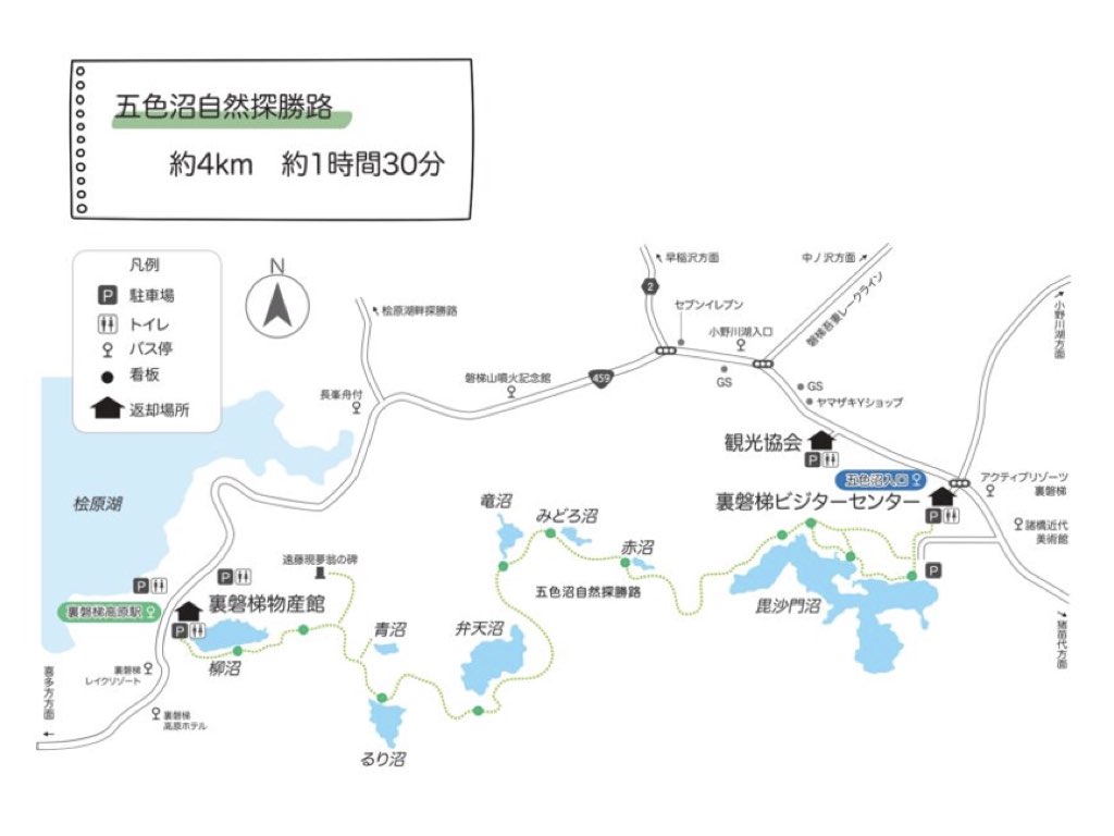
A scenic trail from National Route 459 to Bishamon Lake.
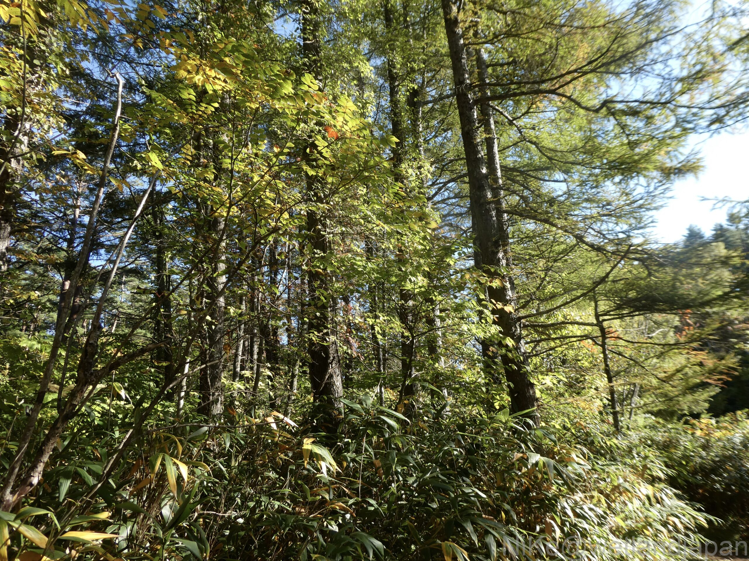
The tall tree on the side is a Japanese larch.
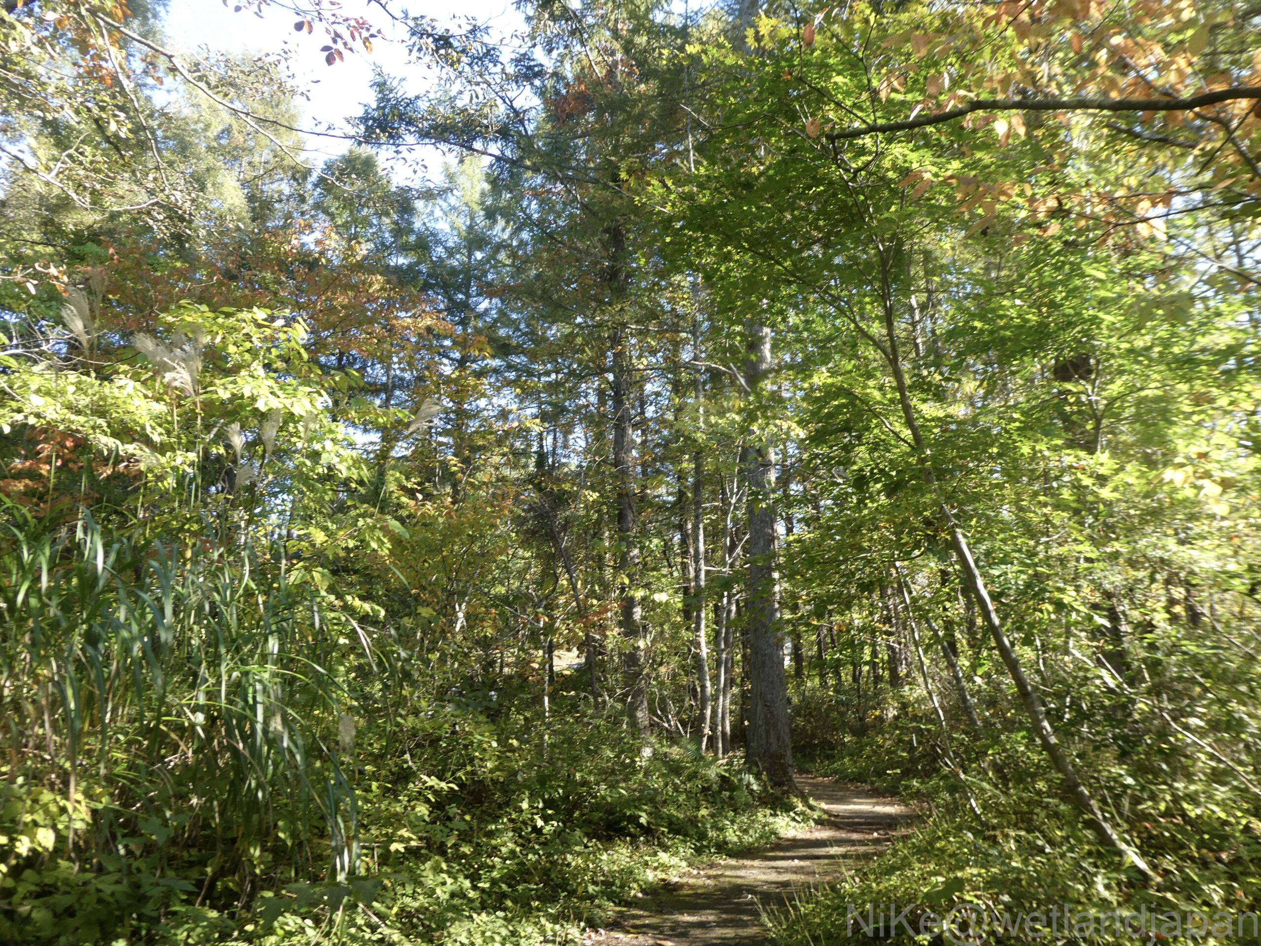
Japanese larch and branches.
The age of the trees is unknown, but they are thought to have been planted after the disaster. The current forest is 136 years old since the eruption.
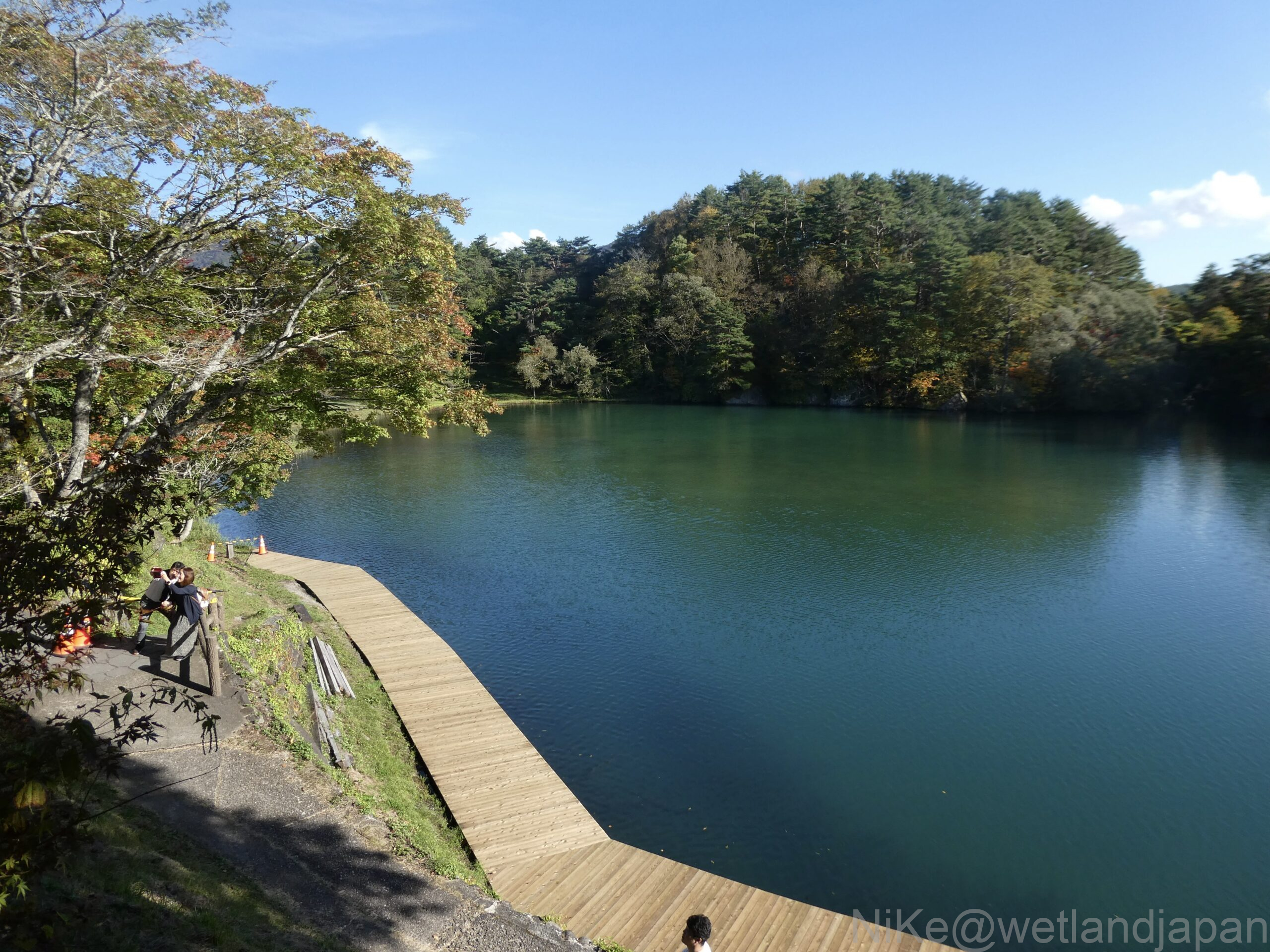
Bishamon Lake is the largest lake among the Goshiki Lakes. Even though it was a weekday, it was crowded with tourists.
There was a boat.
Akanuma.
The color of the water was lapis lazuli.
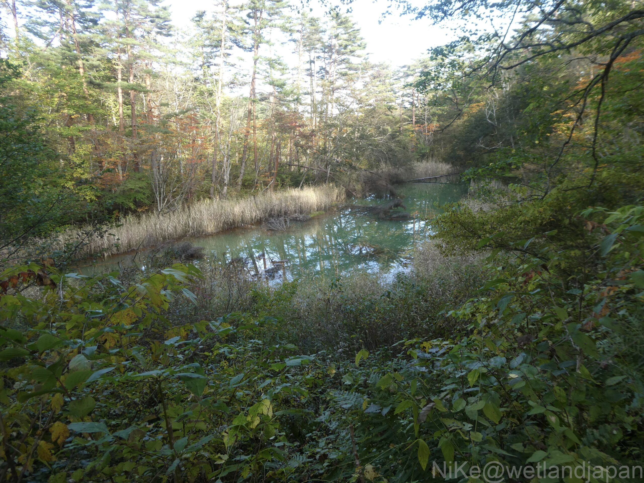
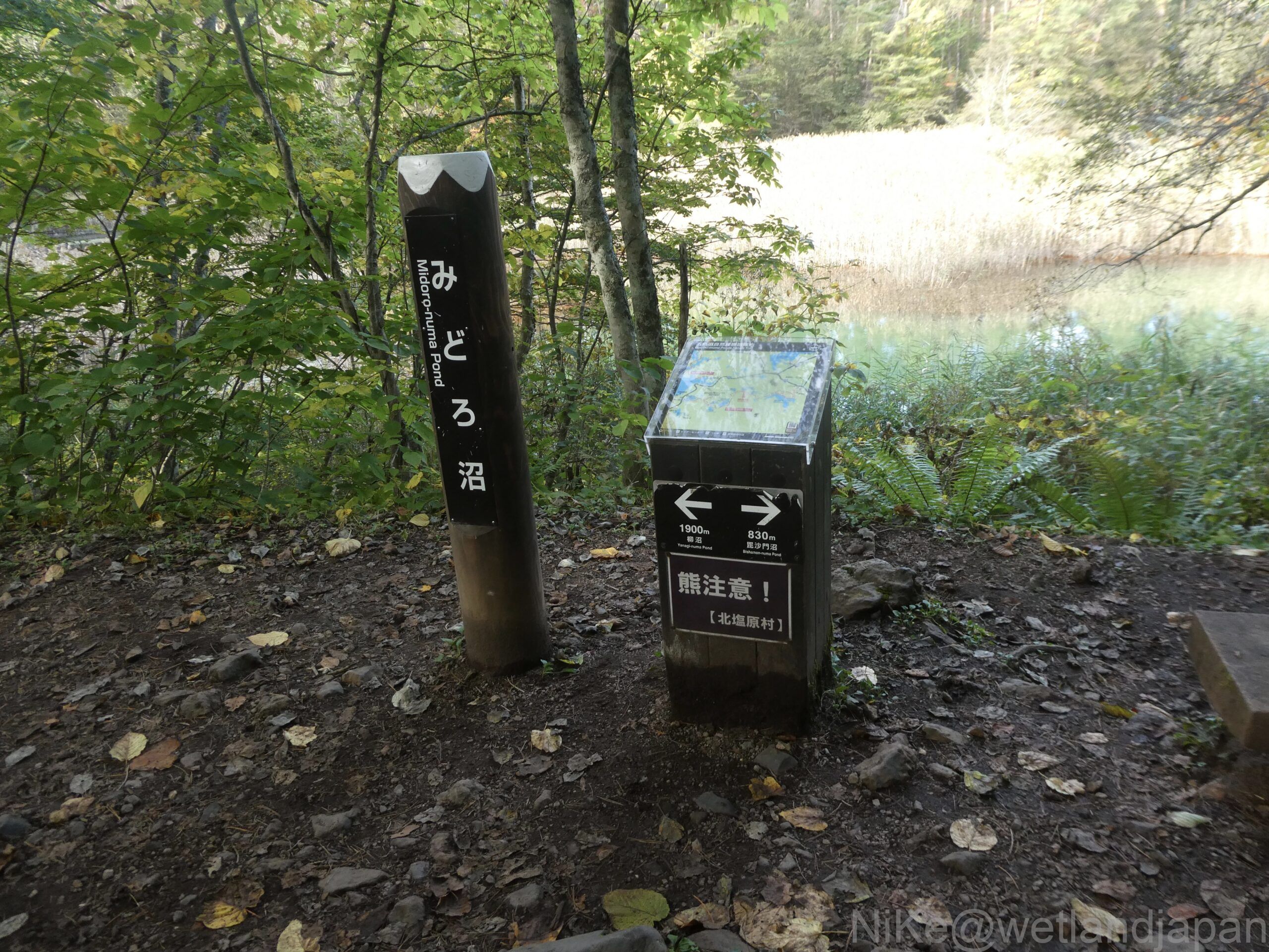
Midoro Swamp.
In kanji, it is written as (fukadoro).
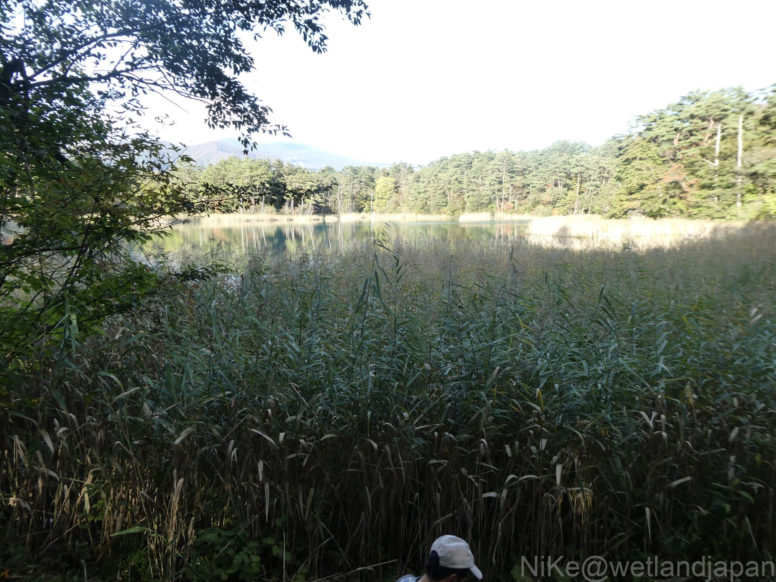
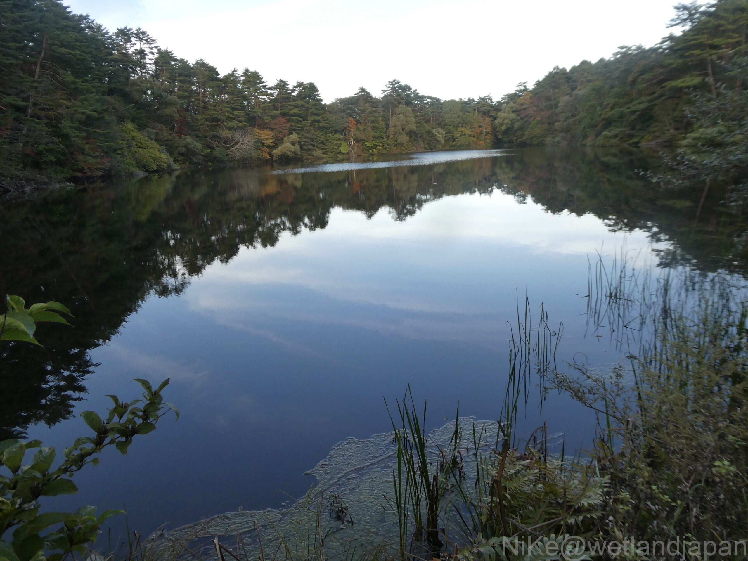
Tatsunuma.
It felt like the deepest part, with many trees densely packed together and fallen trees, so we only saw a small part of it.
Benten Swamp.
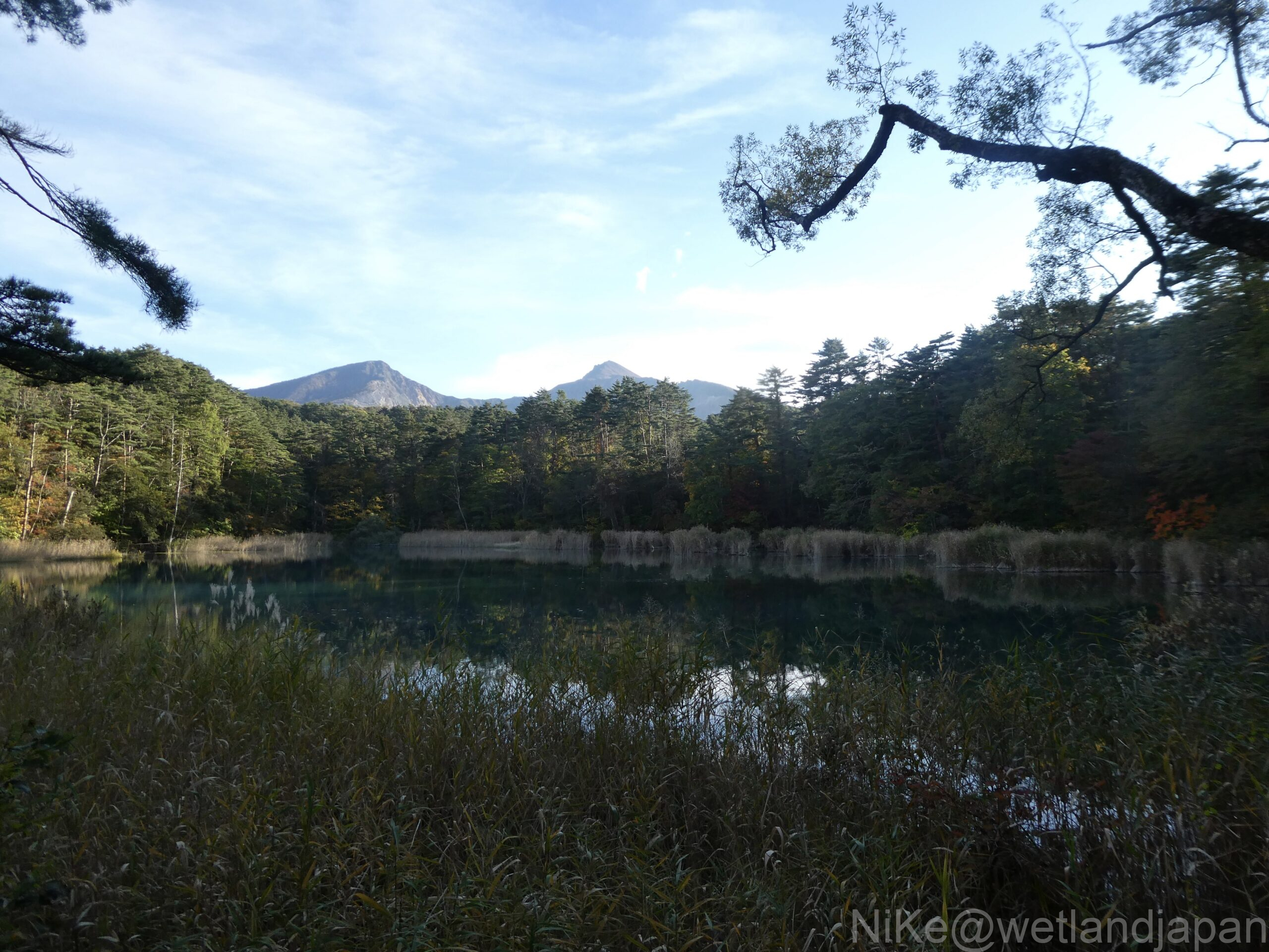
Ruri Swamp.
Mt. Bandai was visible in the distance and it was the most beautiful view.
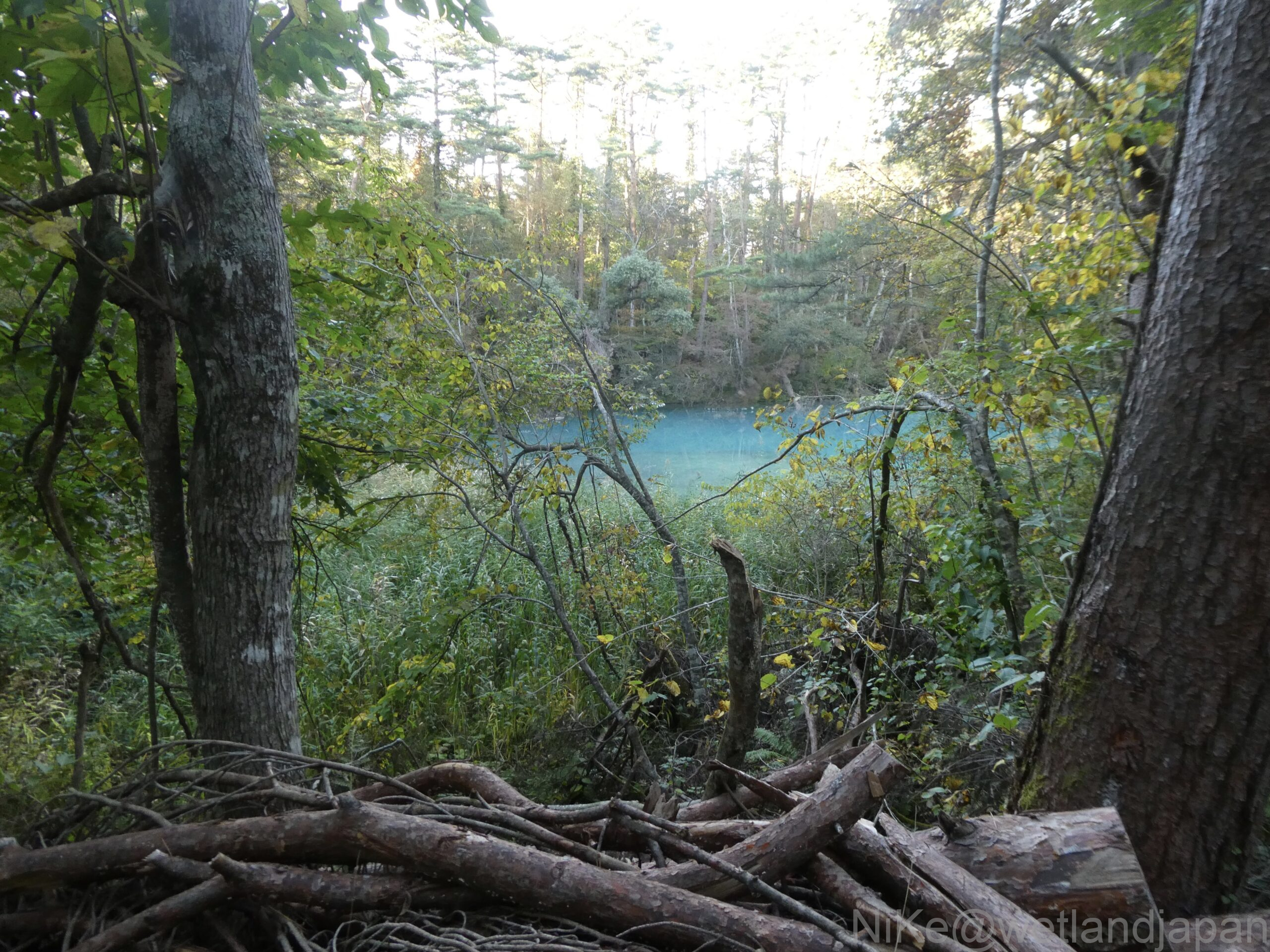
Aonuma.
Although it's called blue, the color is closer to sky blue.
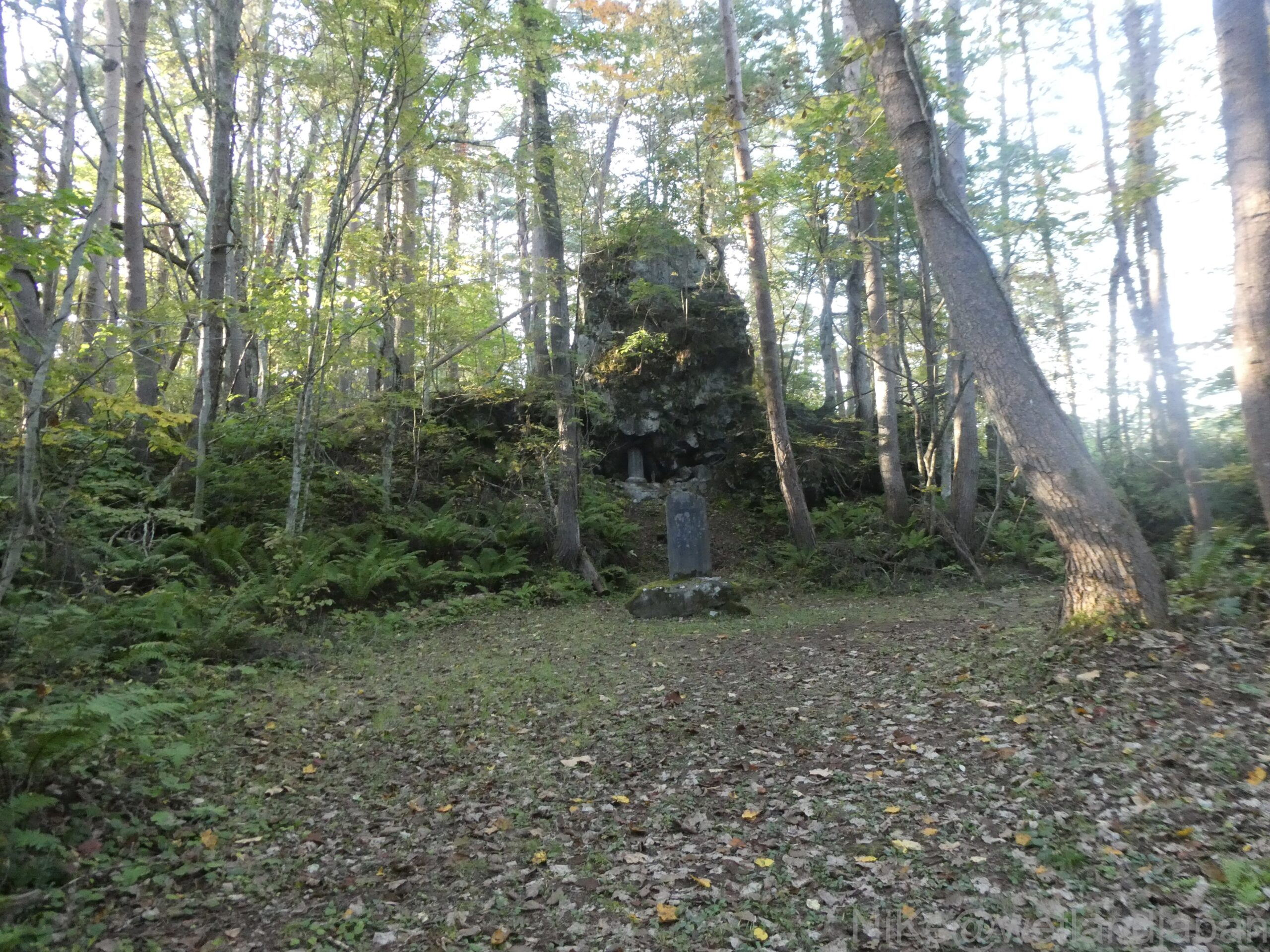
Monument to Endo Genmu.
He contributed his own money to reforestation in Urabandai.
Yanaginuma.
This is the last pond on the Goshikinuma Trail.
It is spacious and feels brighter than the swamp along the way.
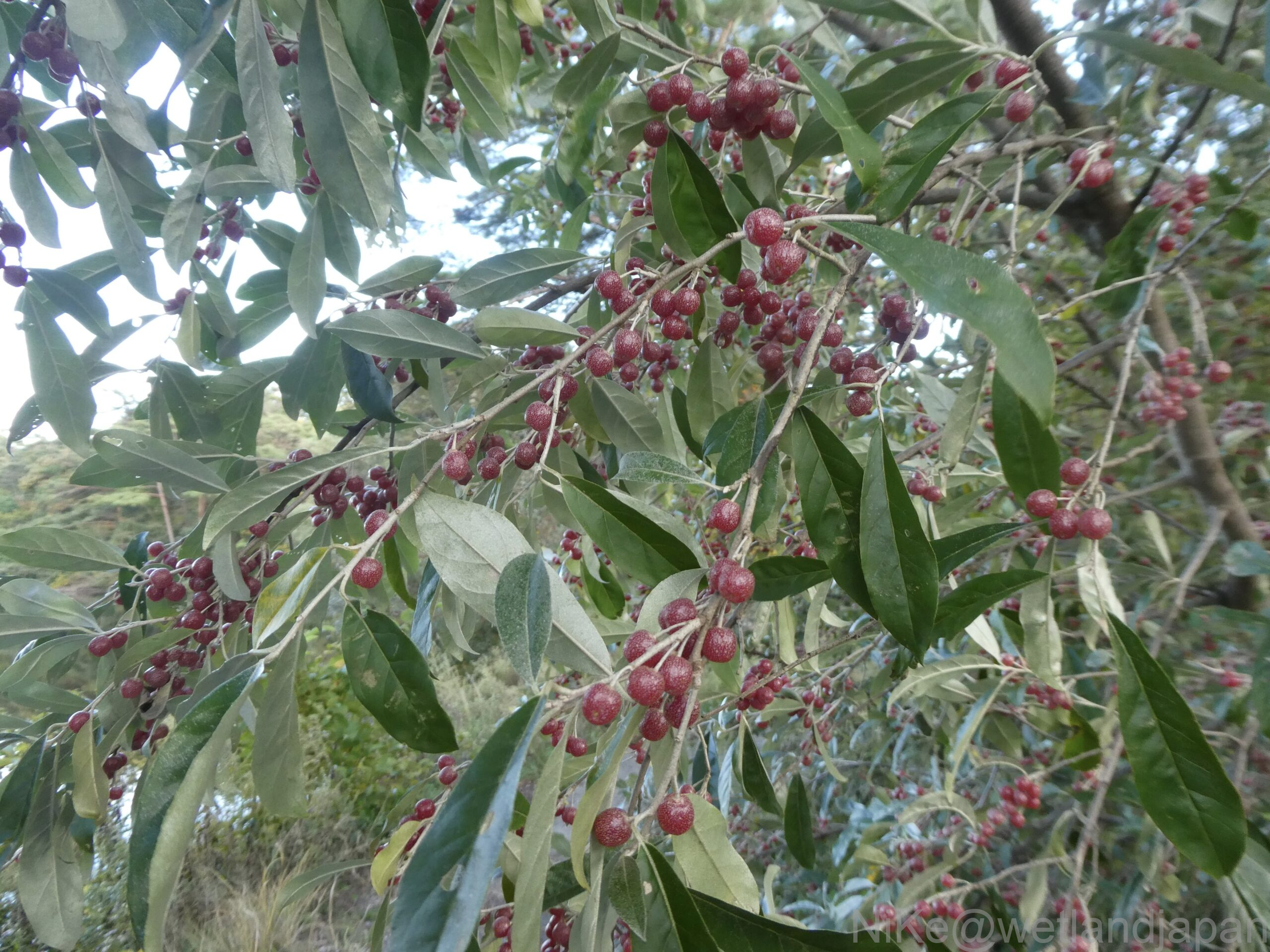
Nuts.
Afterword
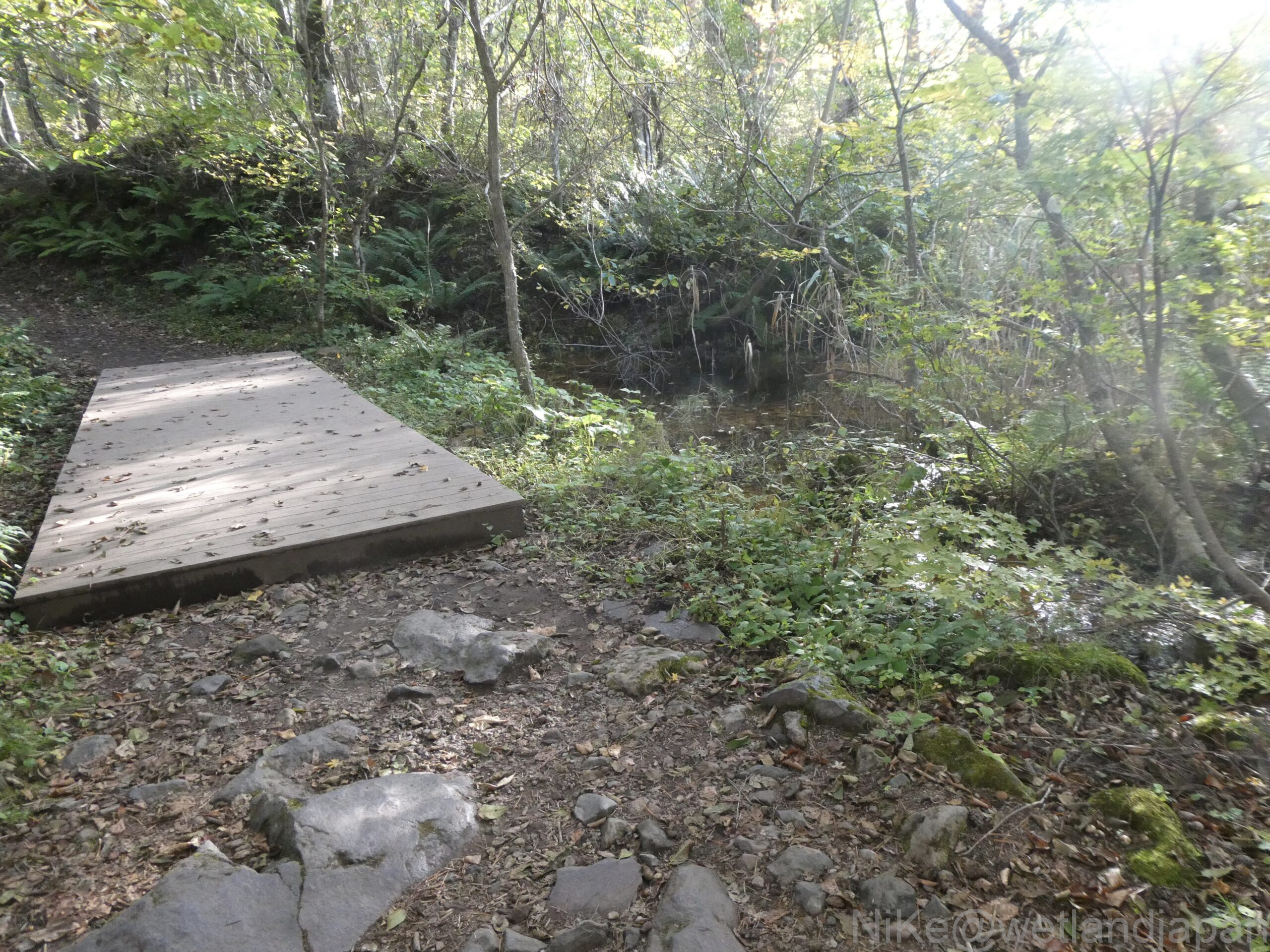
The walk starts from Bishamon-numa to Yanaginuma along the Goshikinuma sightseeing course at the Urabandai Visitor Center.
I walked through Bishamon Swamp, Akanuma Swamp, Midoronuma Swamp, Tatsunuma Swamp, Benten Swamp, Ruri Swamp, Aonuma Swamp and Yanaginuma Swamp, taking photographs and covering 4km in 2.5 hours.
The guidebook listed the color of the lake surface of each pond.
The area at the back of the swamp appears to be various colors depending on the sunlight and shade, so I was unable to pinpoint exactly which color the swamp was.
I think what they have in common is a mixture of green, yellow-green, and sky blue.
It seems difficult to spot each individual feature unless you make two or three trips each season to observe.
What would happen if there were no walking paths there?
What if you pushed aside fallen trees and suddenly found yourself in a swamp, and the water was red?
If you slip you will fall into a bottomless, wet, muddy swamp.
It's almost as if you're being pulled in by a monster like Nessie.
Comments