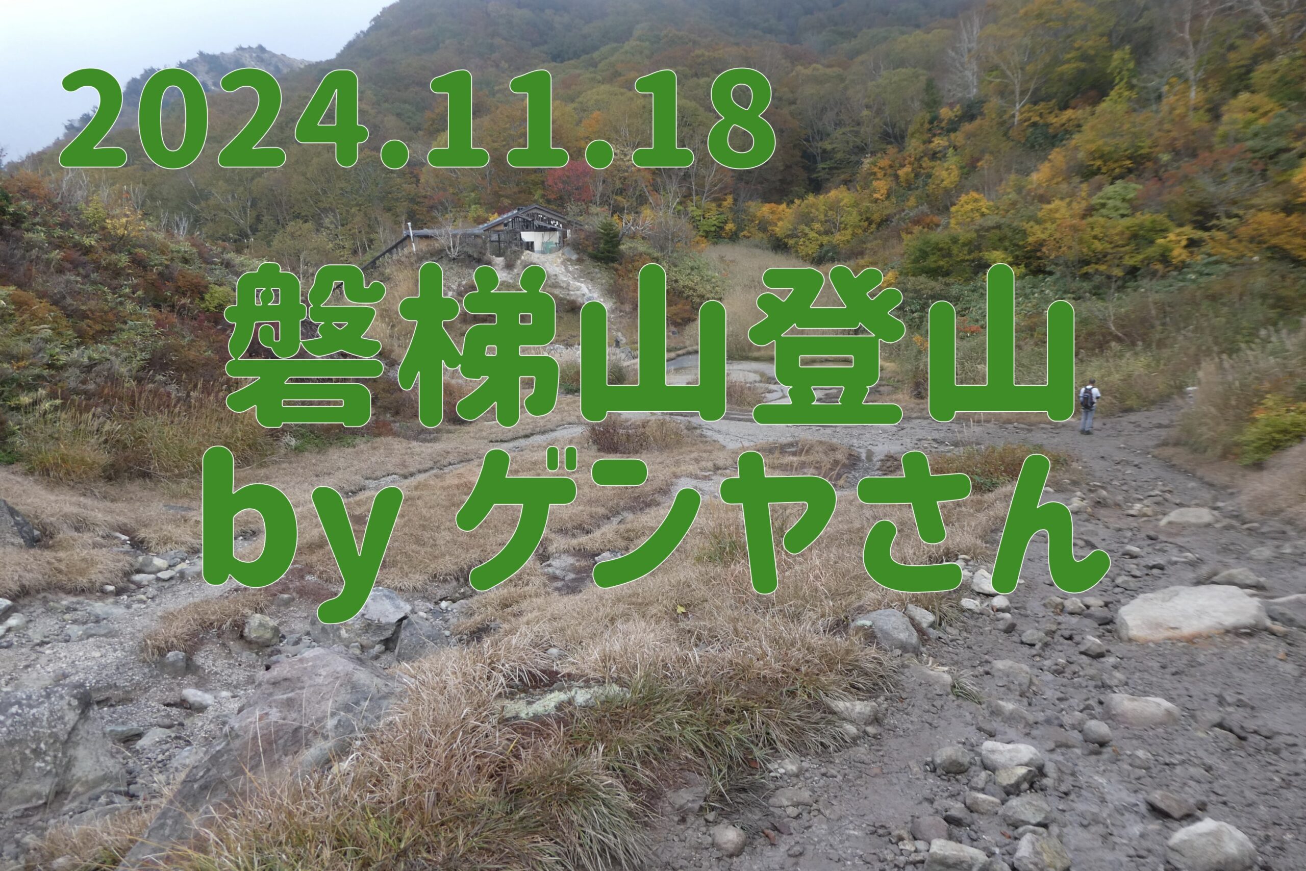
7:30am on the 18th, Happodai trailhead, more than 10 cars. Despite it being a weekday, there seemed to be a surprisingly large number of climbers.
On the way here I noticed signs warning of bears, but I suspect the bears will be shy and won't come out onto the hiking trail.
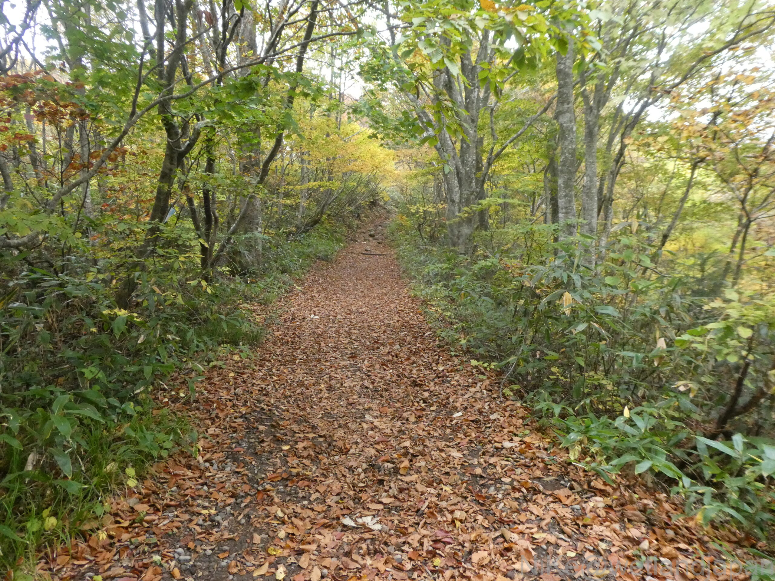
When we started walking, the leaves on the trees were still green.
After climbing for about 30 minutes, you will come across the remains of Naka-no-yu. The building is dilapidated but hot water still comes out.
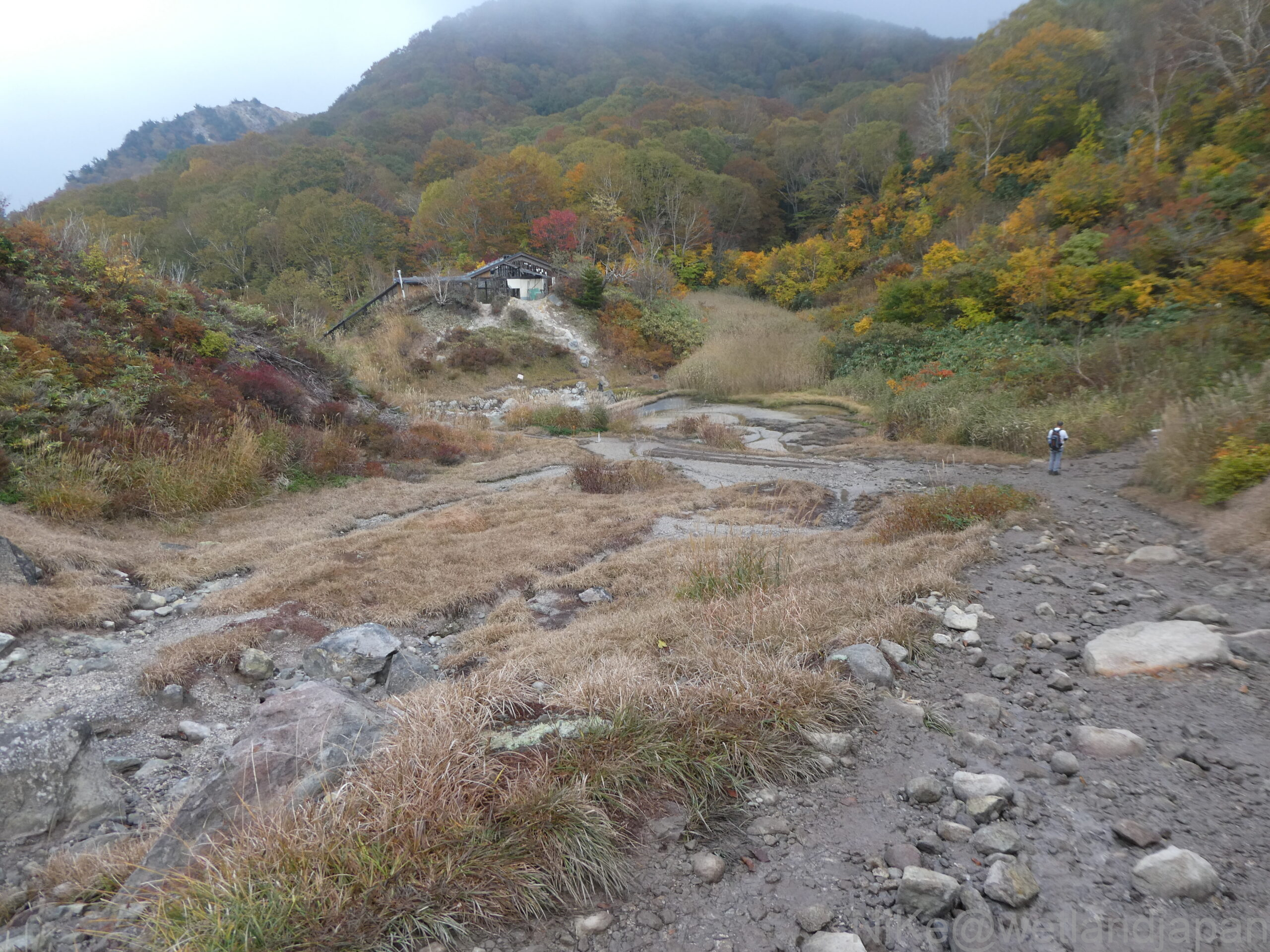
Looking at the opposite bank through a gap in the trees on the climb, we could see up close the remains of the eruption wall that blew up 200 million tons of rock 136 years ago.
Now, 136 years later, the crater walls have recovered and are now covered with lush trees.
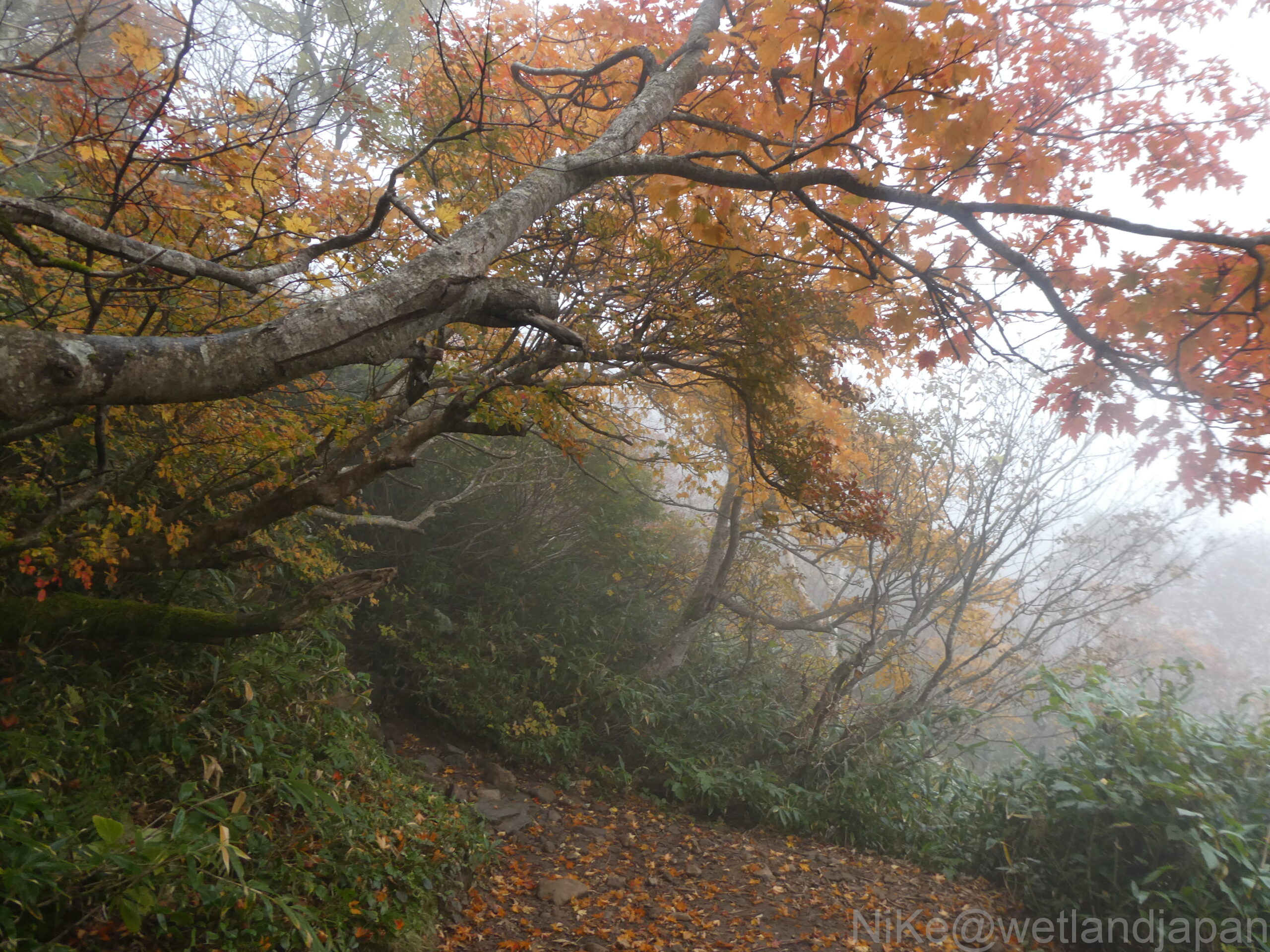
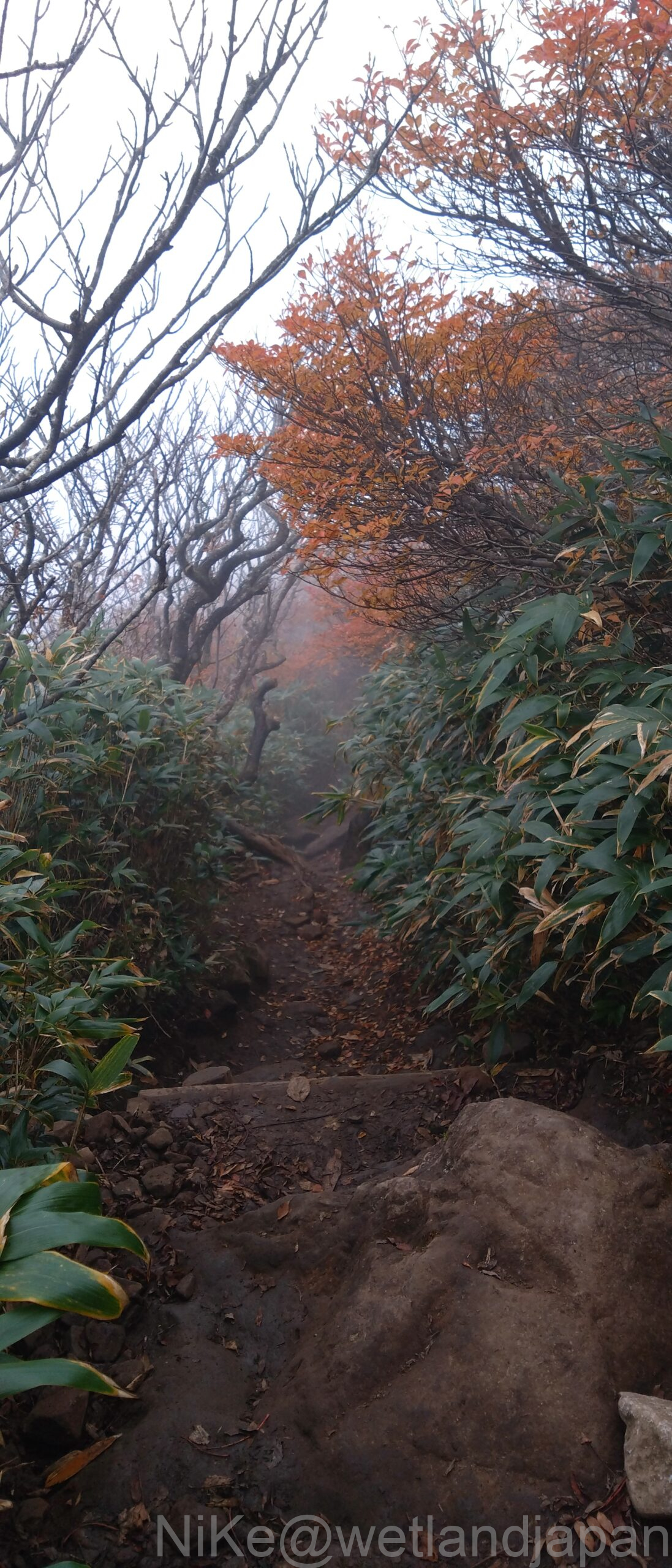
As you climb up to about 1,500m, the beech and maple trees along the trail are in full autumn color.
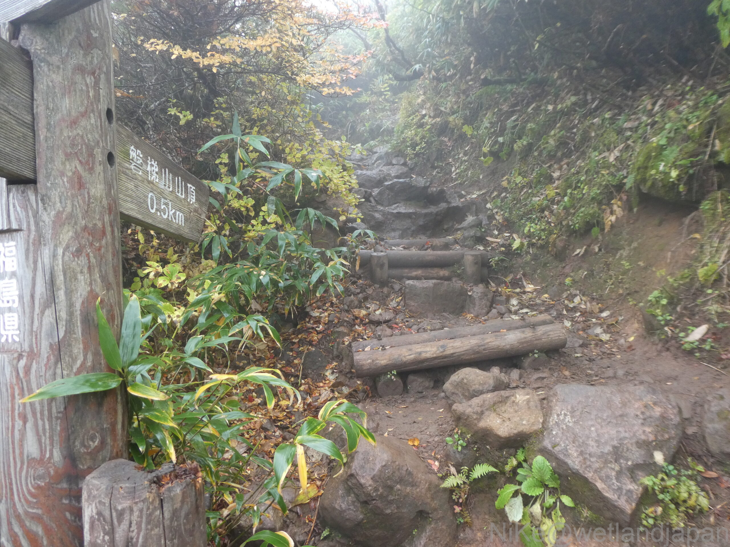
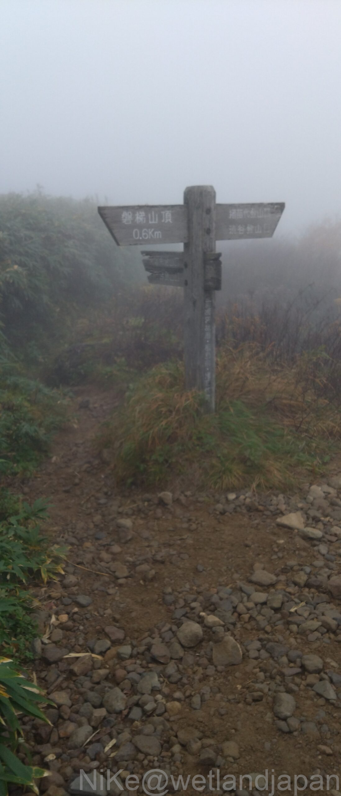
There is a slight steep climb from Kobo-shimizu hut, where there is a sign indicating 0.5 km to the summit, to the top.
As soon as we climbed out of the path in the shade of the ridge covered with low trees and onto the ridgeline, there was no protection and a strong wind of about 10 m/s.
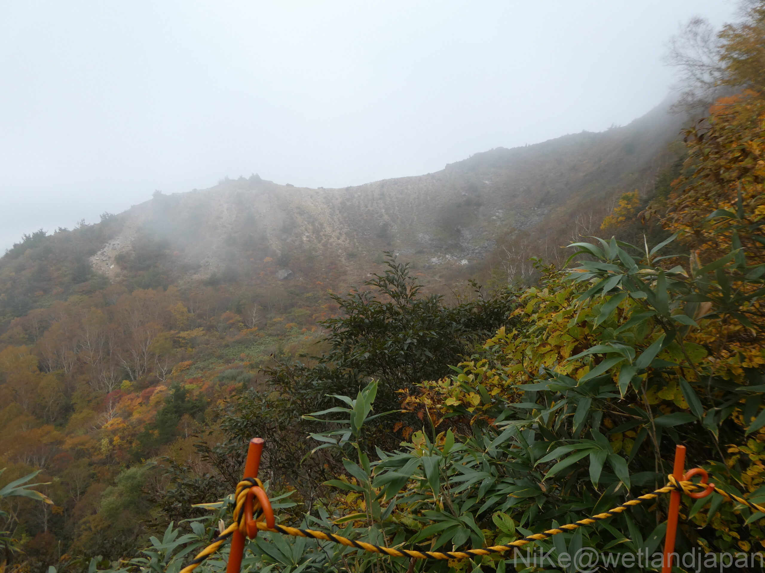
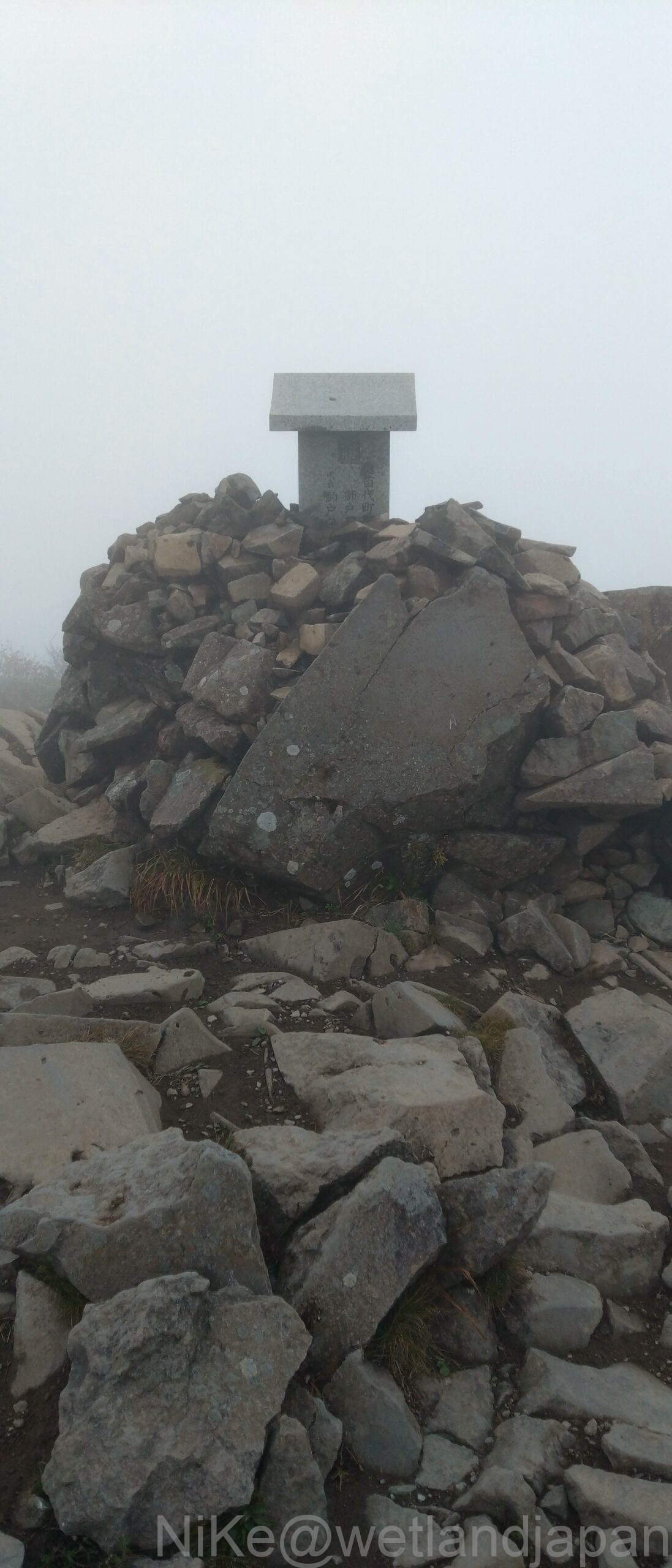
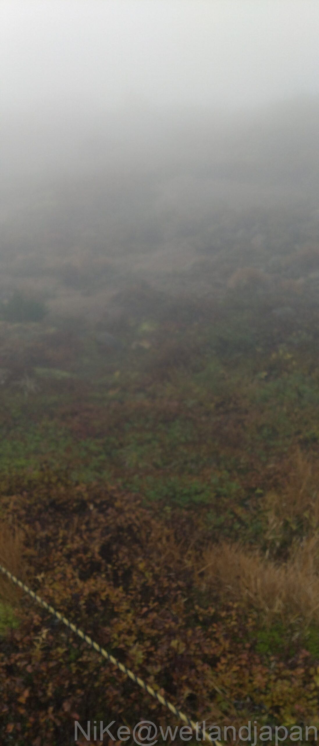
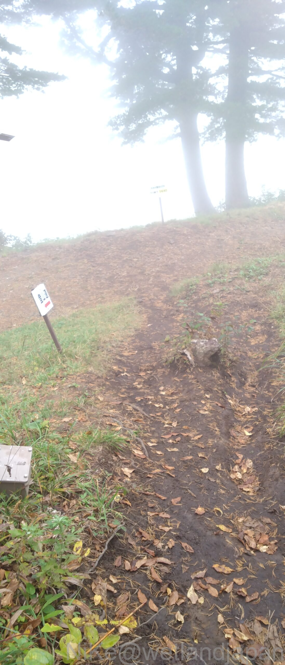
Furthermore, the thick fog makes it impossible to see anything.
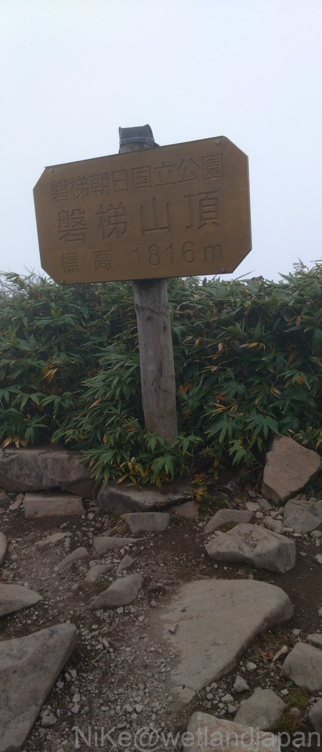
It's cloudy at the foot of the mountain, but the weather on top of the mountain has changed more than you might imagine.
All we could see at the top was a stone shrine, so we took a photo and took shelter in a hut below.
Just by dropping about 5m, there is now a gentle breeze.
It seems that just entering a depression makes such a difference, as the sign for the summit was a little further down.
The clouds looking up from the foot of the mountain are mist here, and drops of water are falling on the leaves, but it doesn't seem to be raining.
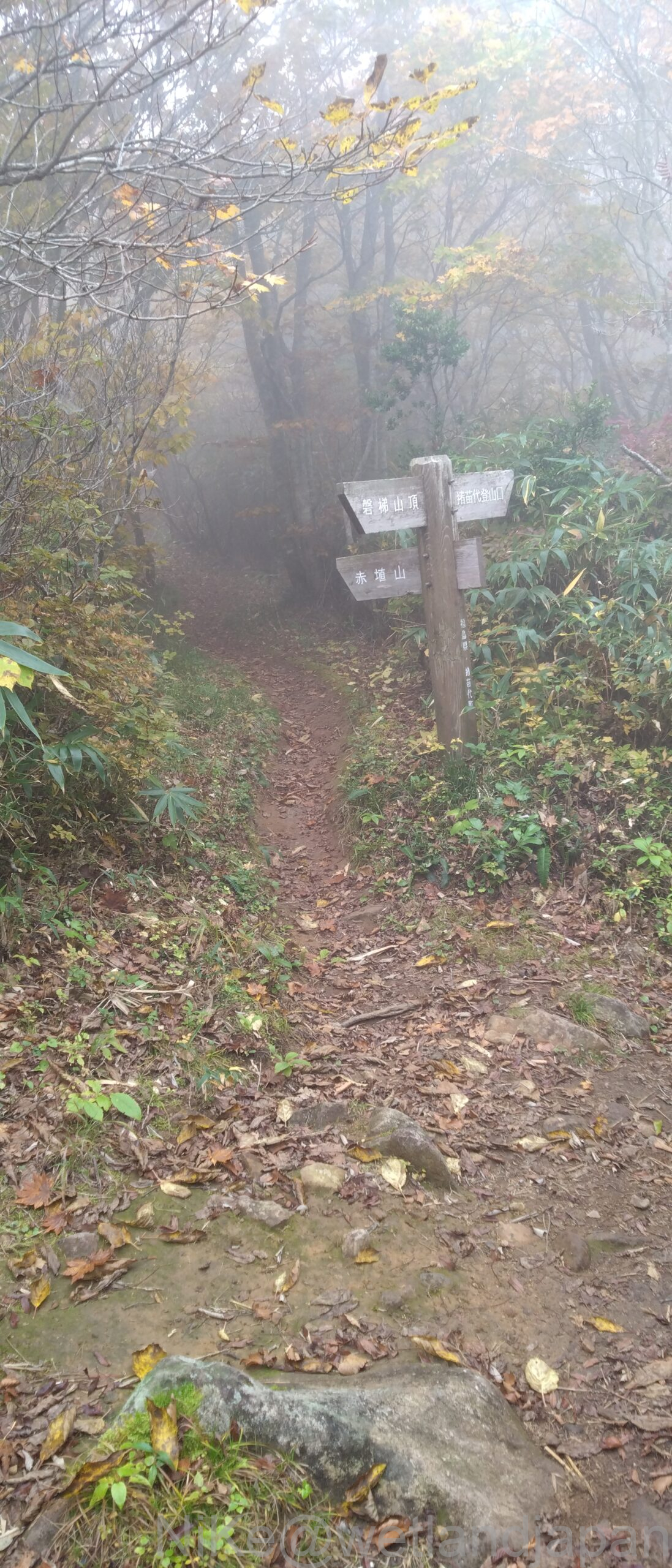
On the way down, descend to Inawashiroguchi.
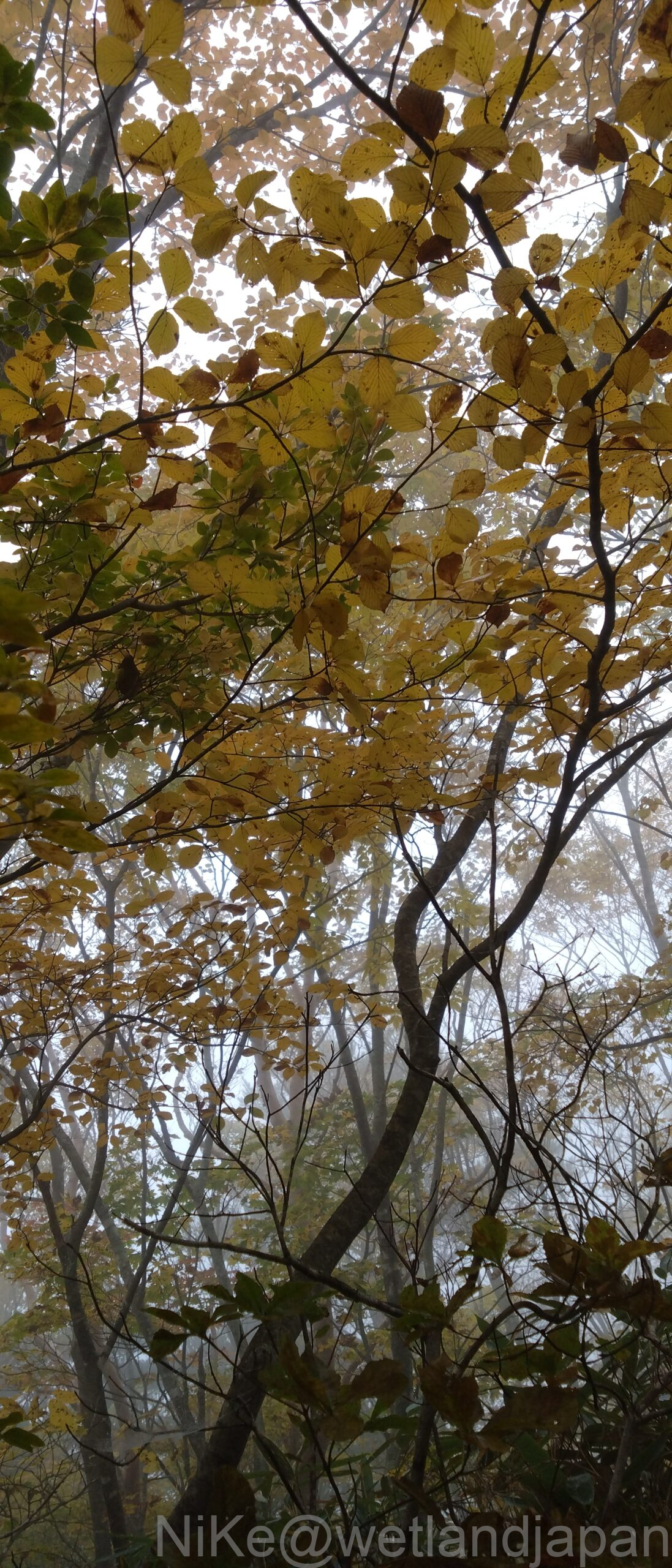
From Kobo-shimizu hut, the trail forks to the right, and as you descend in altitude the trees get taller.
There seem to be fewer rowan and maple trees on this mountain, so there aren't many red autumn leaves.
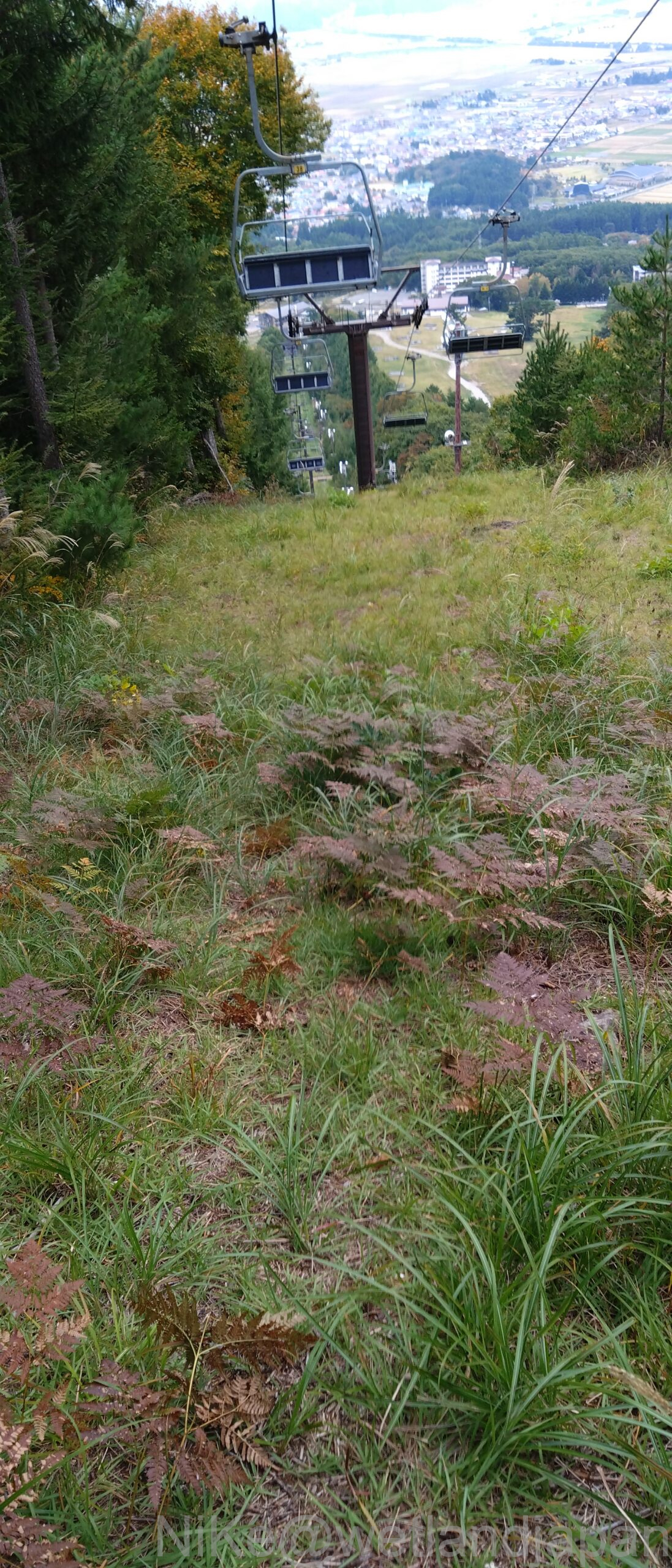
Although the view was not great, the visibility widened and the hiking trail ended, revealing a forest road and flat, cleared grass area, at the very top of the ski resort.
At an altitude of around 1,320m, the slope has an elevation difference of 600m and is a straight descent down a slope of mown grass.
This descent is quicker than the mountain path, but it will put a lot of strain on your knees.
As we climbed, I was hoping to get a view when the trees started to thin out, but the fog made it impossible to see anything.
I also saw it after the collapse of the eruption.
The morning forecast said it would rain on the descent, but it didn't rain and we finished without getting drenched in sweat.
Comments