I have visited Hachimantai twice in the past for general sightseeing purposes.
Although transportation has improved dramatically compared to before, it's still not an easy place to get to, so I had to look around quite a bit.
Introduction
The summit of Hachimantai is located at an altitude of 1,613 m and is one of the 100 famous mountains of Japan.
When I opened the pamphlet, I saw that it was an active volcano that erupted 6,000 years ago.
It is an aspite-type volcano that was formed by repeated erosion and explosions of mainly andesite and basalt, resulting in a gentle plateau.
There are many crater lakes, such as Hachimanuma and Gamanuma.
The region has a humid subarctic climate with large temperature differences, and snowfall in the winter remains until May.
In this climate and geography, the high moors are a treasure trove of alpine plants, blooming in abundance in the area.
There are many fumaroles and hot springs at the foot of the mountain, sulfur mining has taken place here (Matsuo Mine), and there is also a geothermal power plant; it is truly a museum of volcanoes and the blessings of nature.
Travel Journal
Koiwai Ranch, Matsukawa Geothermal Power Plant, Houraikyo Gorge
We arrived in Morioka just before noon on the 8th, and our first stop was Koiwai Ranch at the foot of Mount Iwate.
Two-thirds of Koiwai Ranch is forest.
We took a ride on a tractor trolley to see the 100-year-old forest.
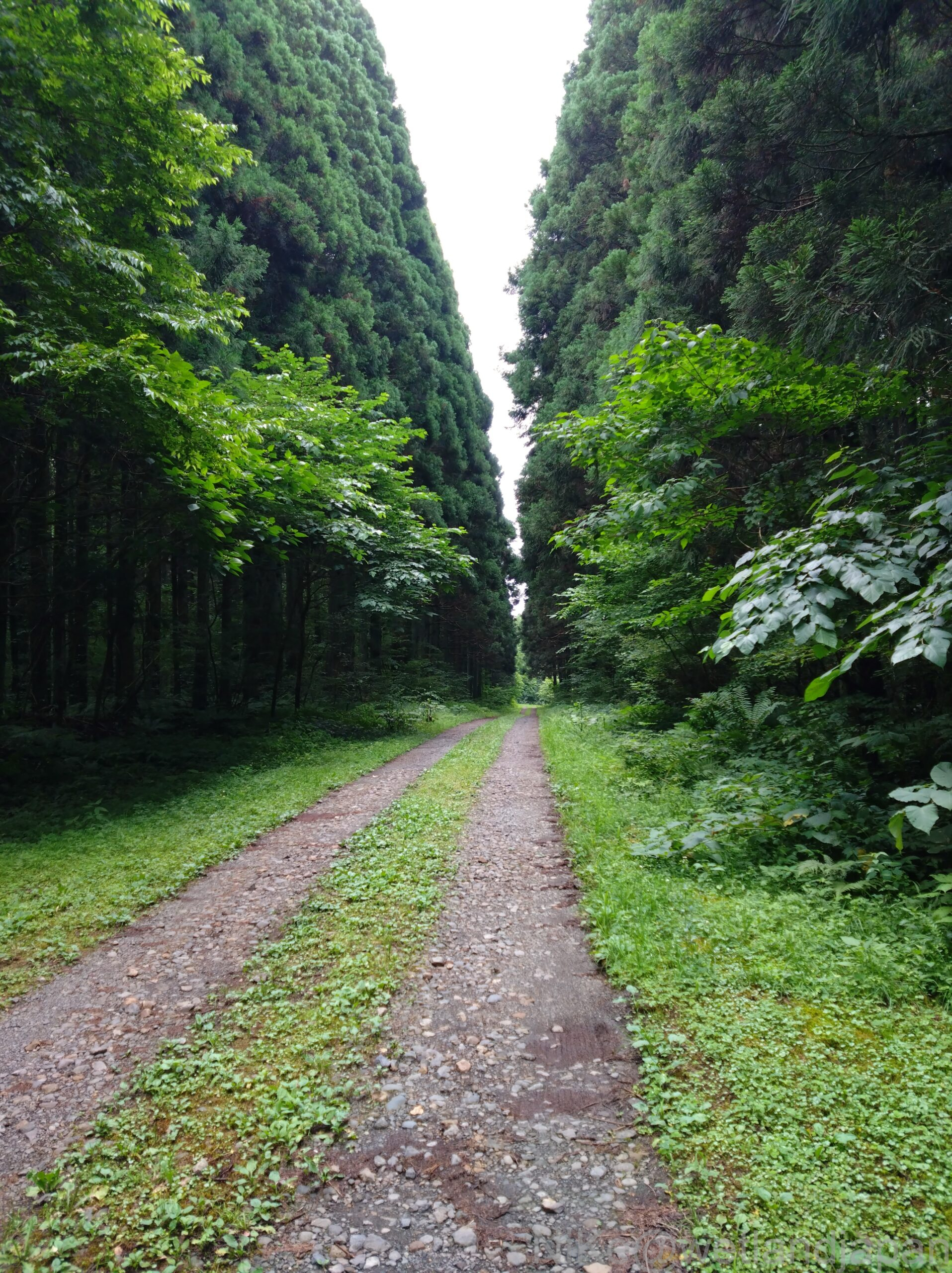
The forest road lined with cedar trees forming a V shape that cuts through the artificial cedar forests on both sides was a rare sight.
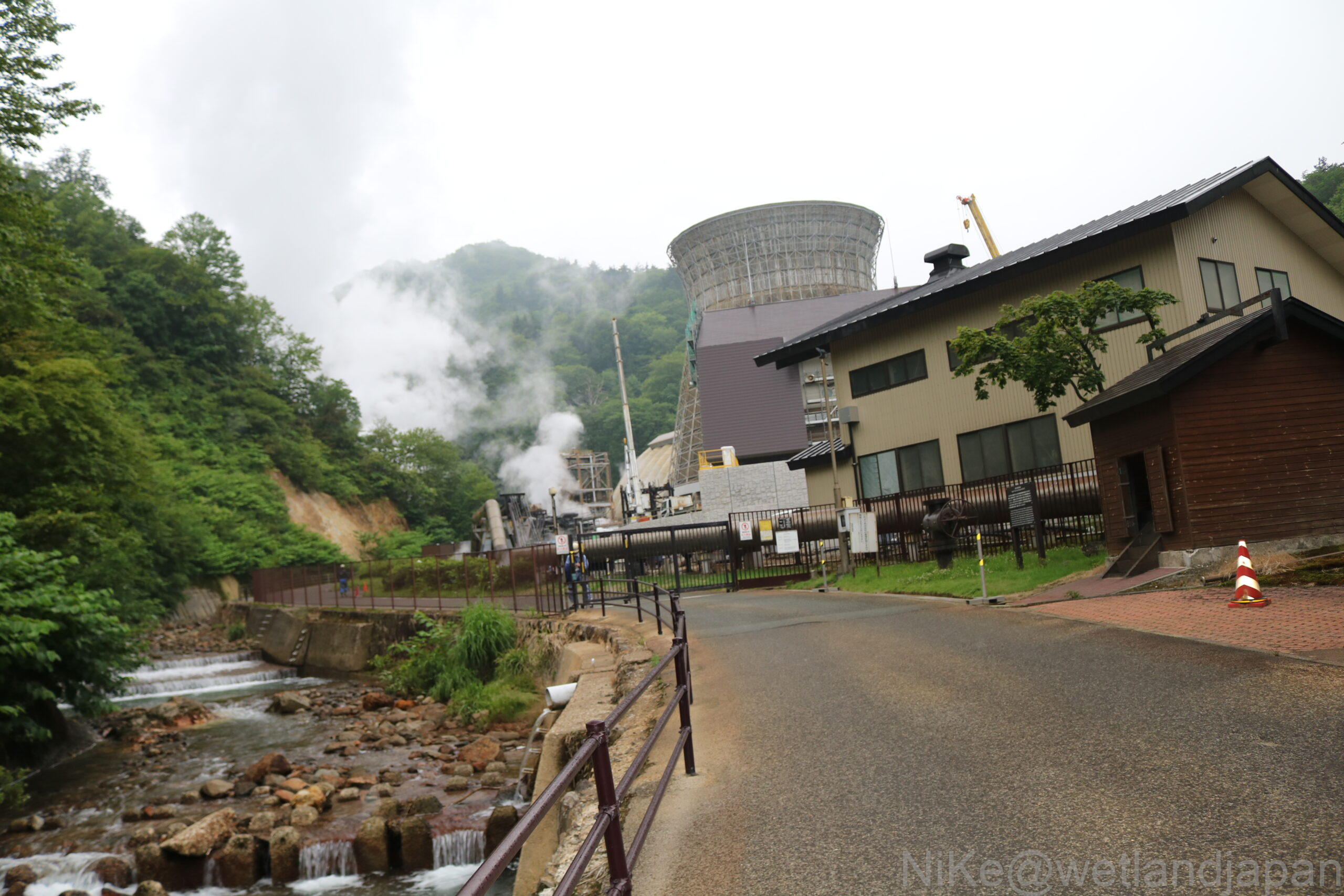
Next we headed to the Matsukawa Geothermal Power Plant.
It is a clean energy source with low CO2 emissions that generates electricity using steam accumulated underground in volcanic zones.
It is a valuable energy source for Japan, a country with few natural resources.
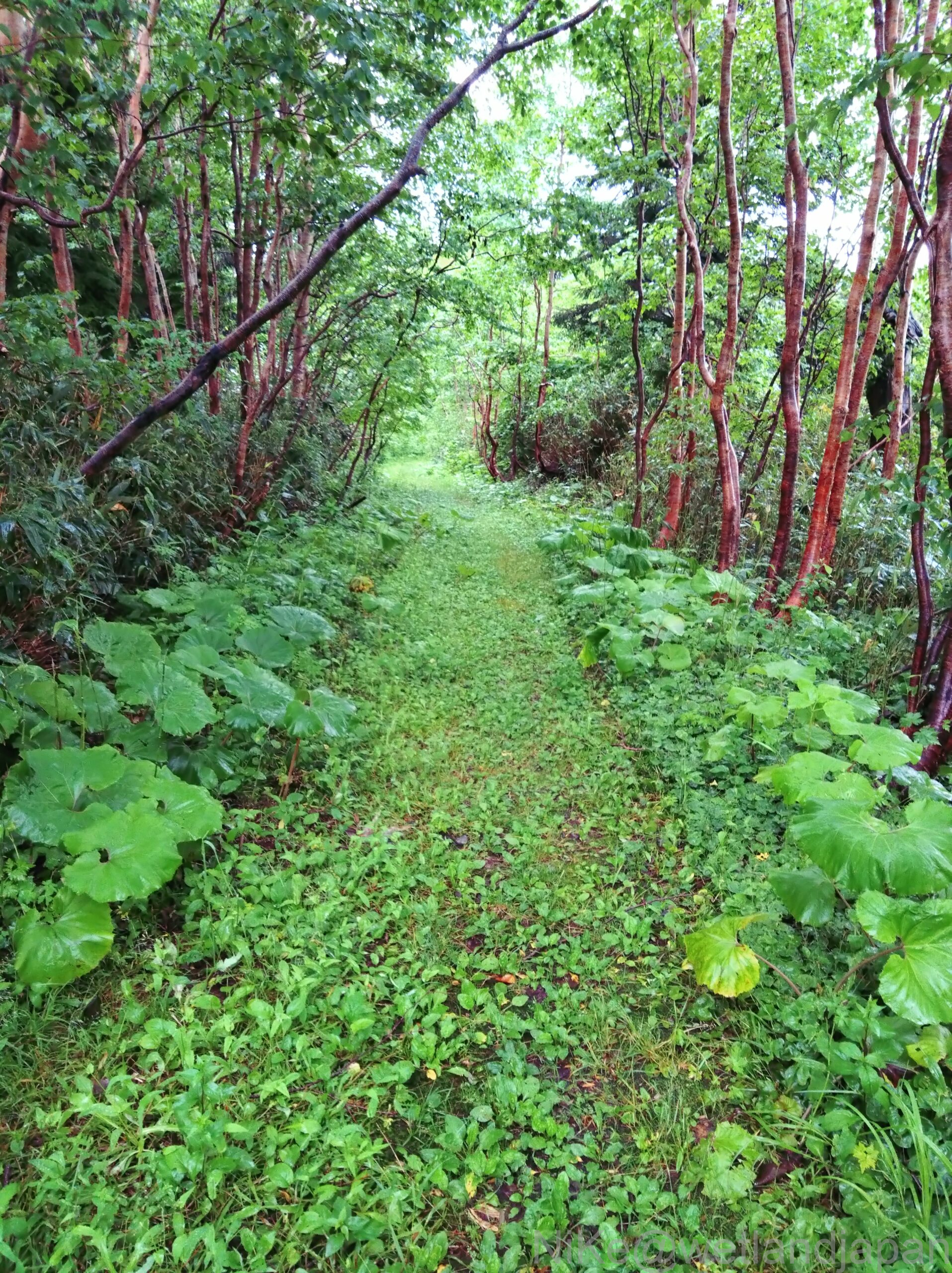
The next day, we took a short walk along the Houraikyo Gorge trail in the rain.
On both sides of the walking path, birch trees were wet with rain and their bark was shiny.
Hachimantai and Hachimantama Pond
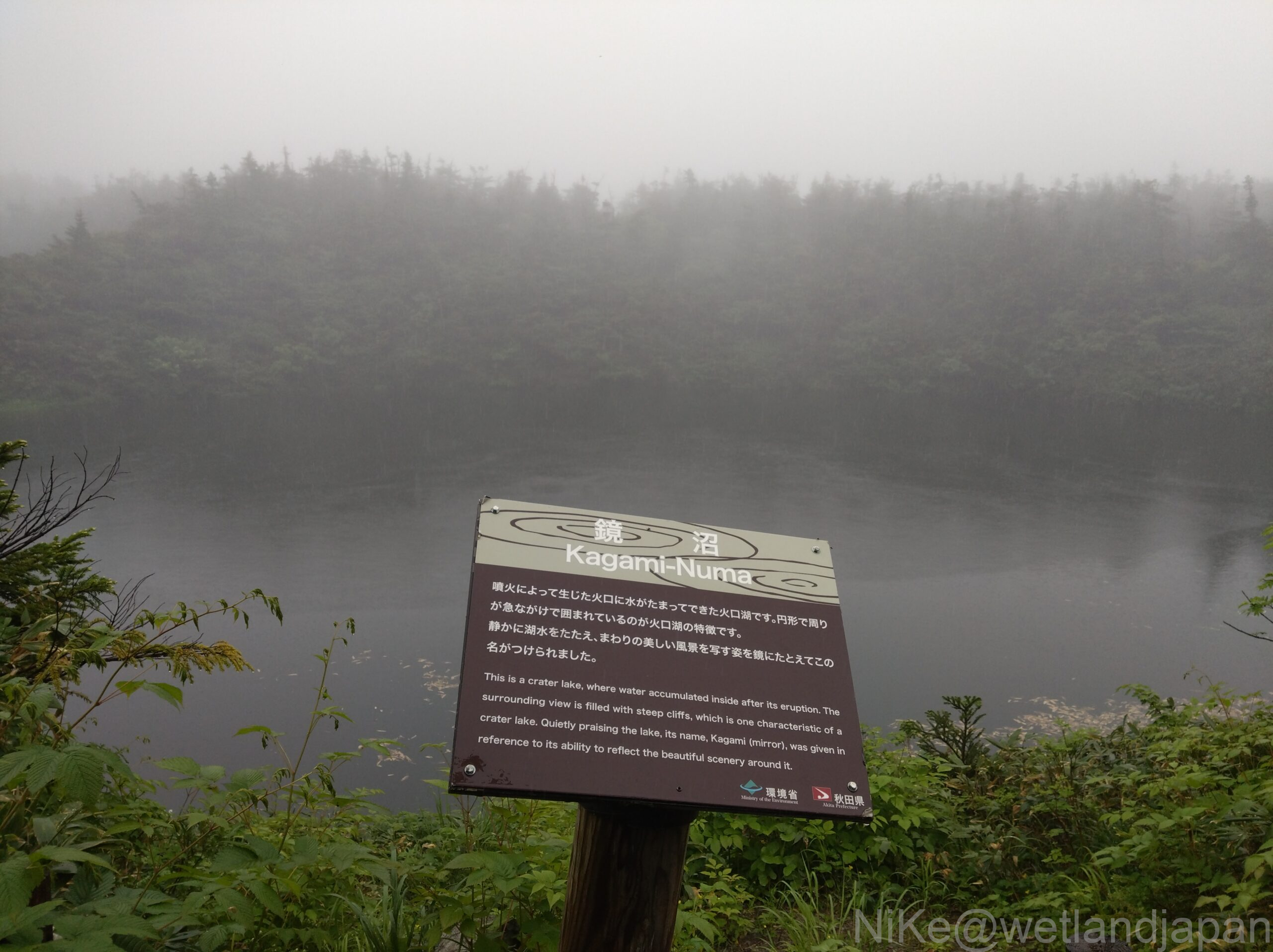
Kagami-numa is the first pond after starting the paved trail from the Aspite Line trailhead.
Next we went to Megane Swamp.
The left and right sides were roughly the same size.
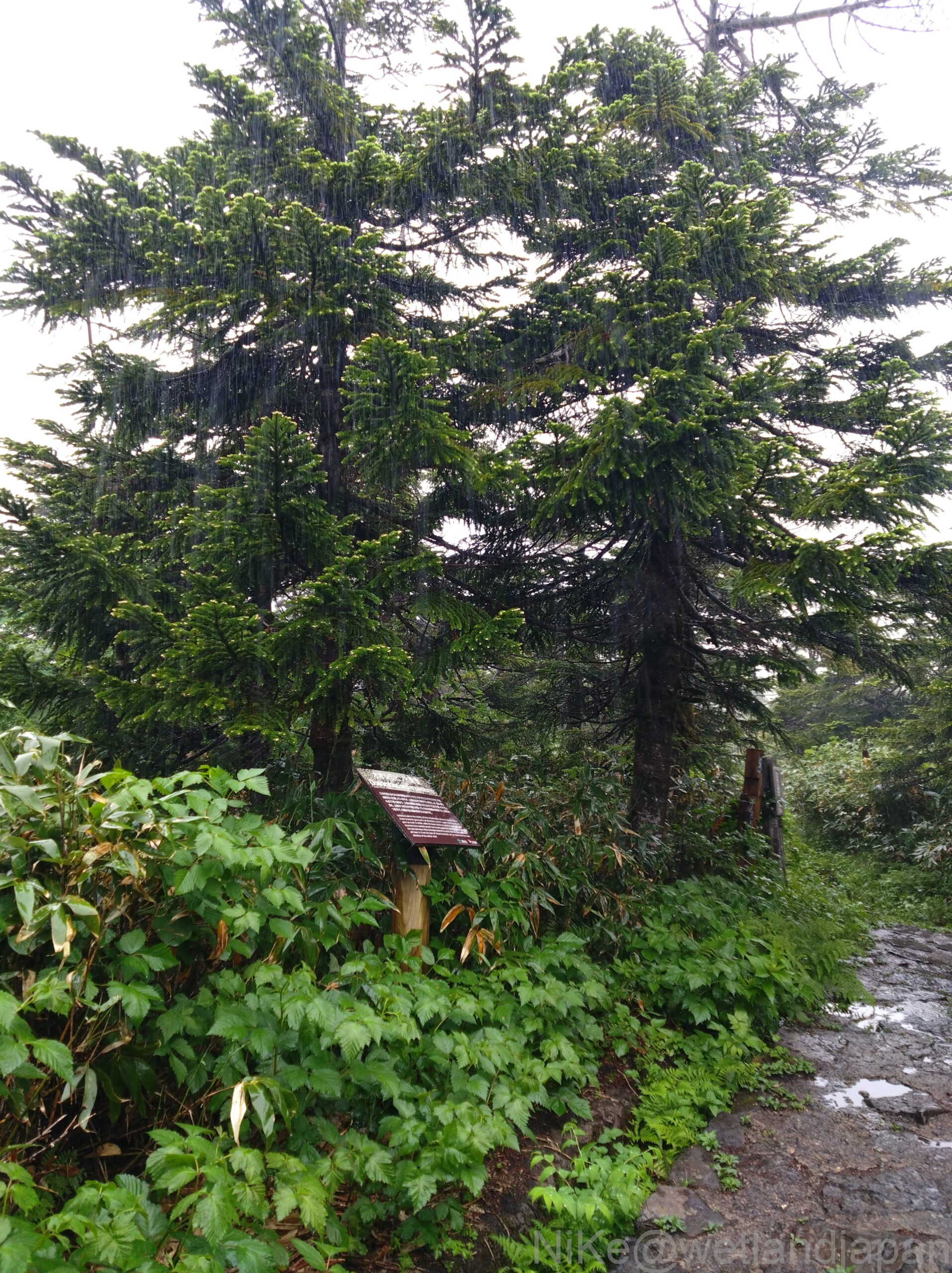
A slightly tall tree, Abies mariesii
The snow is deep and the branches are pointing downwards, and the upper part is sparse due to the wind and snow.
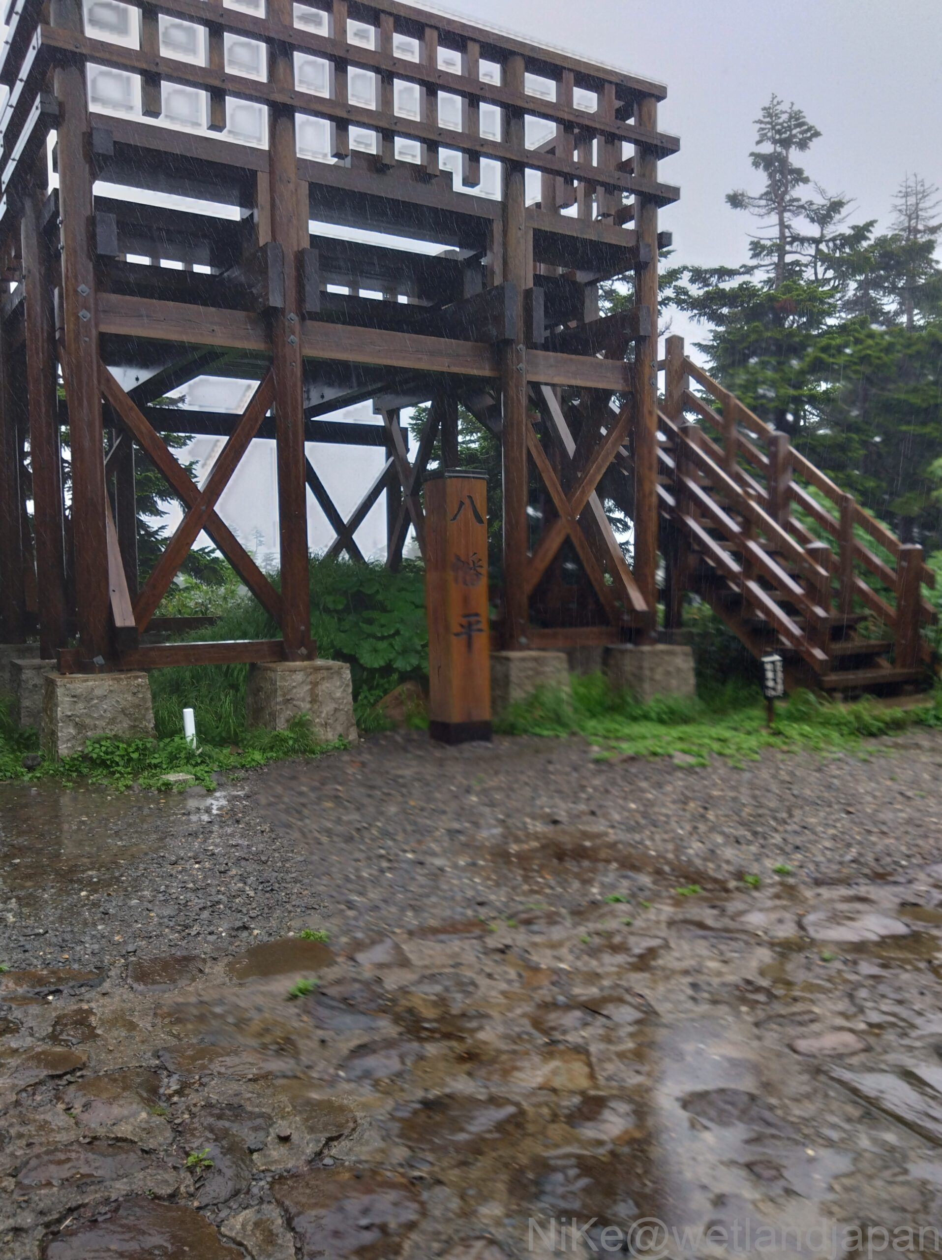
It takes about 30 minutes to reach the top.

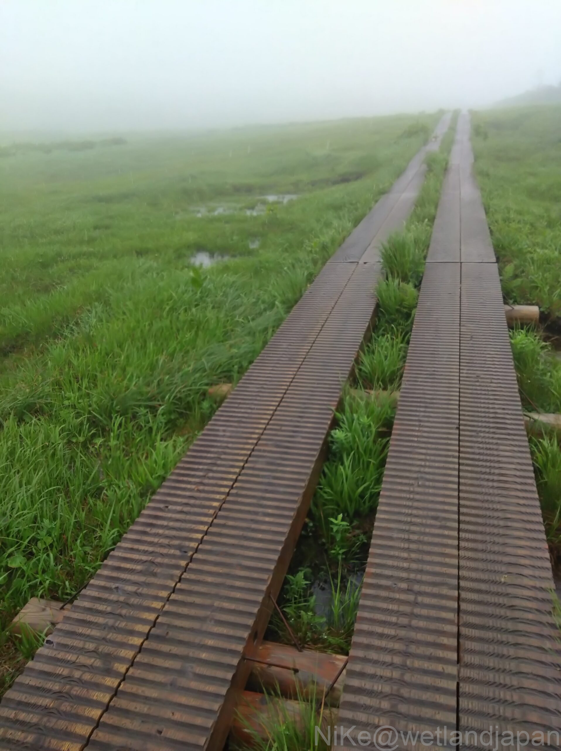
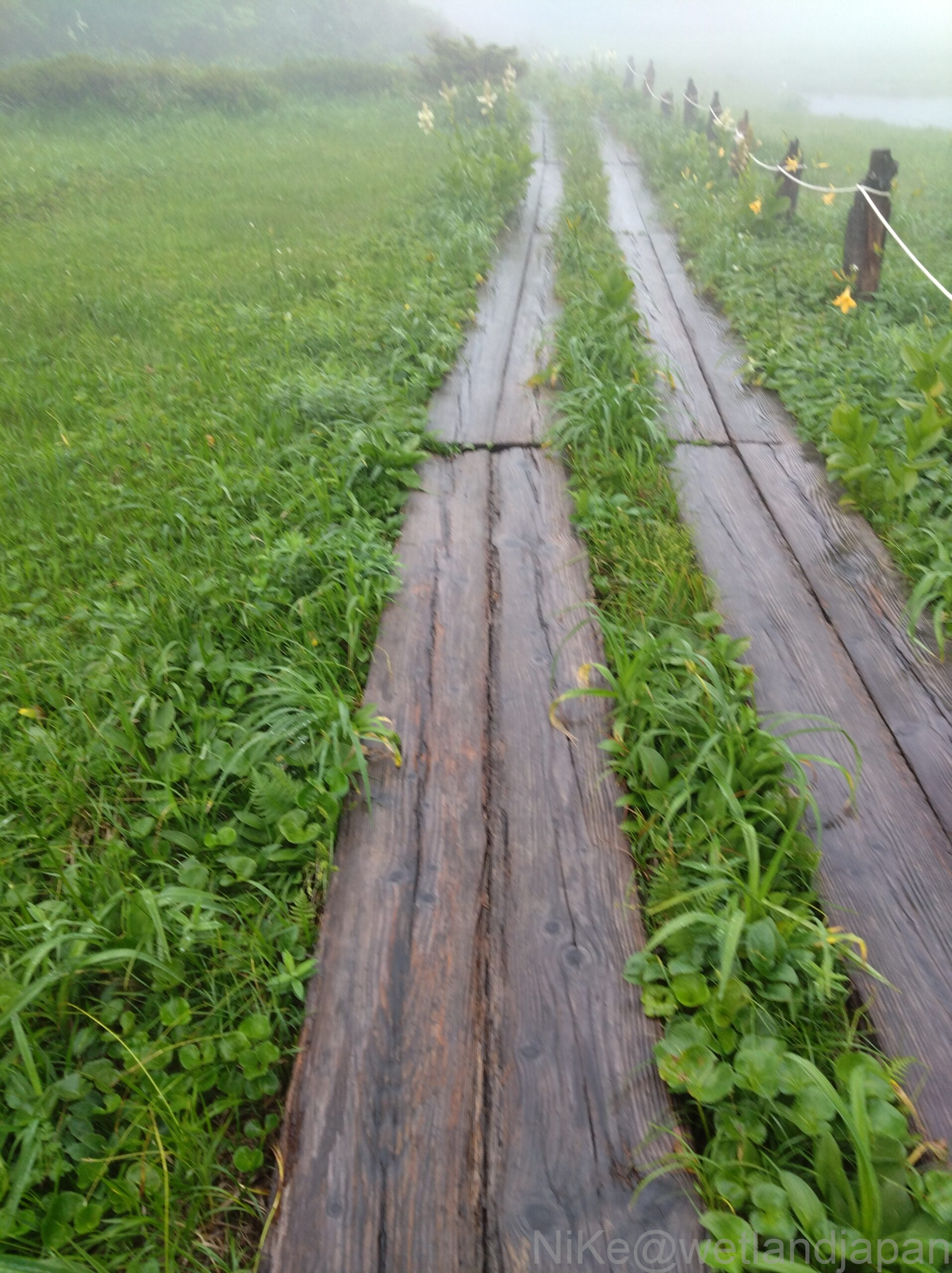
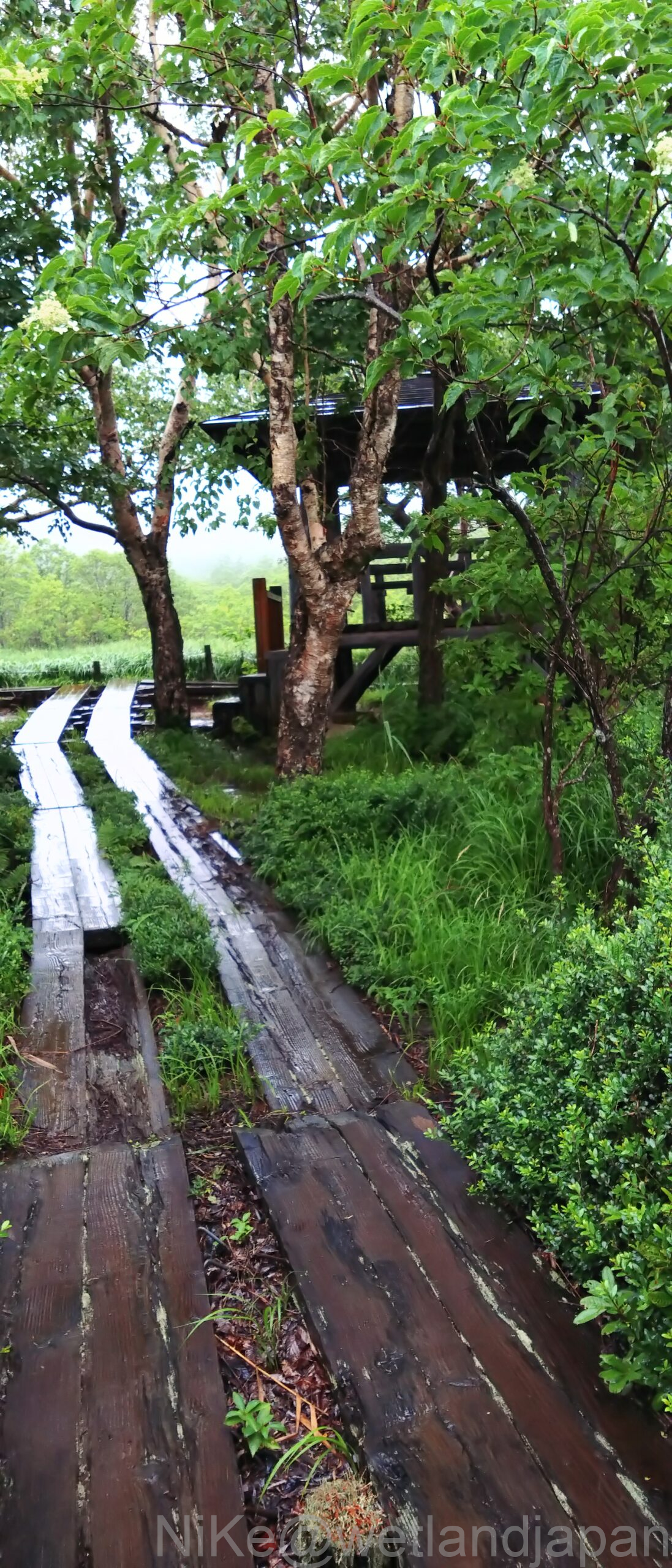
From there, you will walk along the boardwalk in the Yahata Marshland, which goes half way around Yahata Pond on the right.
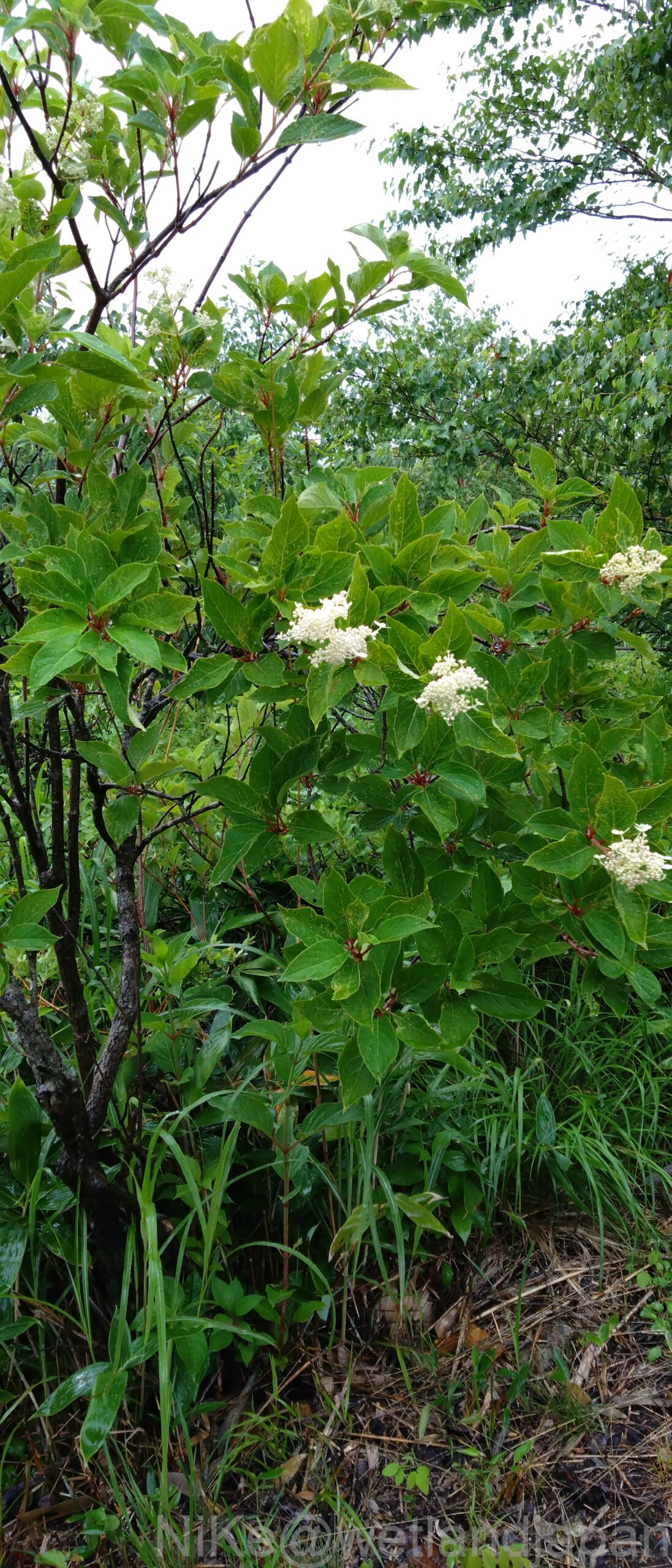
Honeysuckle: White flowers on circular leaves.
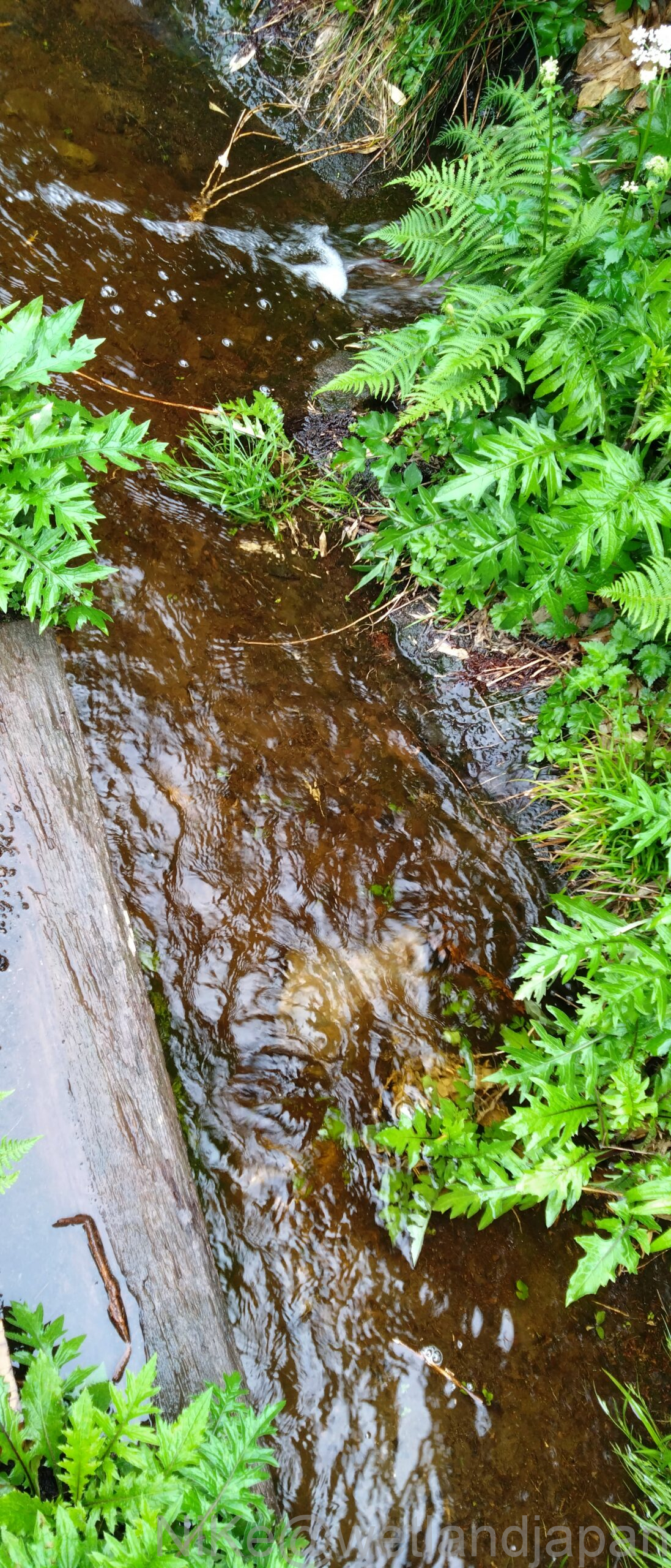
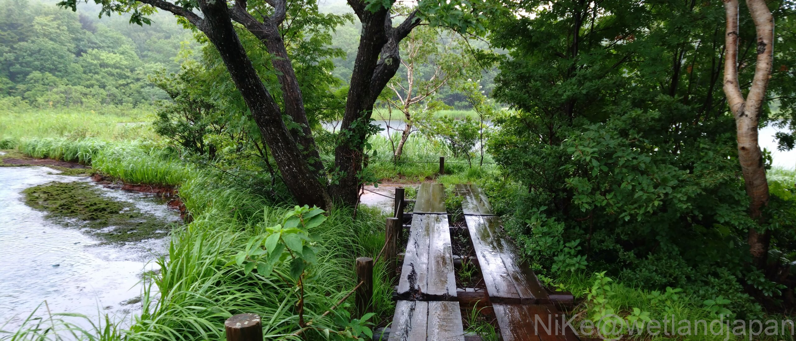
Due to the rain since yesterday, the ditch has now turned into a river.
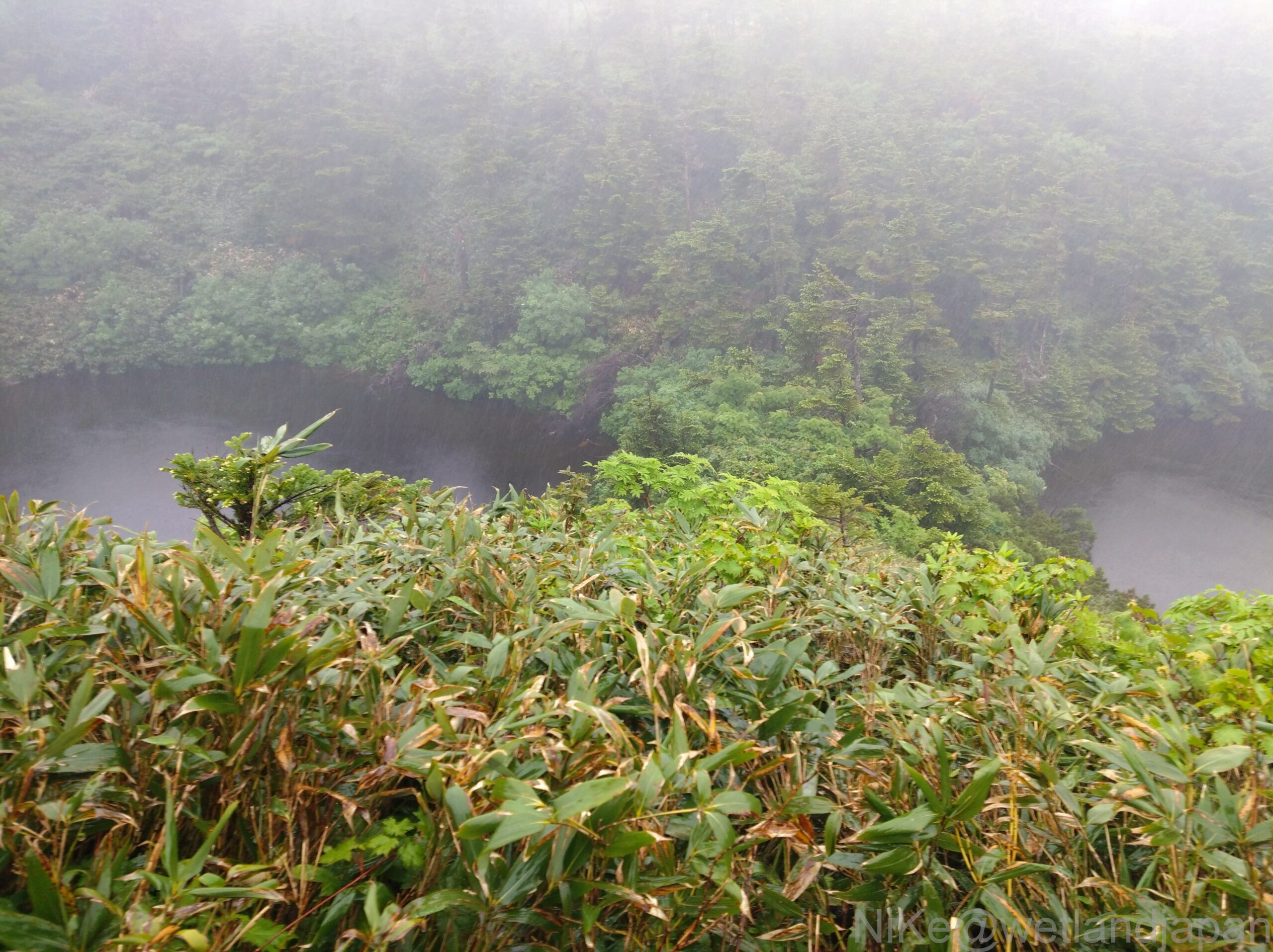
I think the boardwalk leads to Genta Forest, but today it disappeared into the mist about 50 meters away, making it a fantasy world.
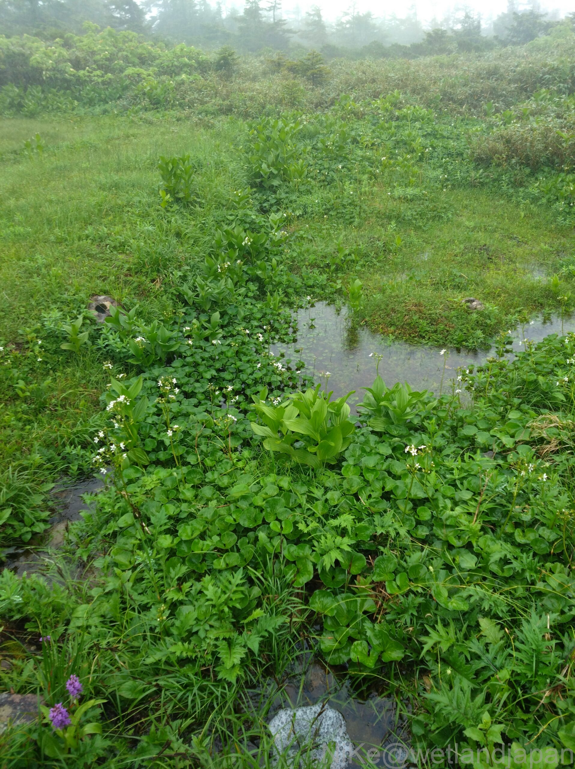
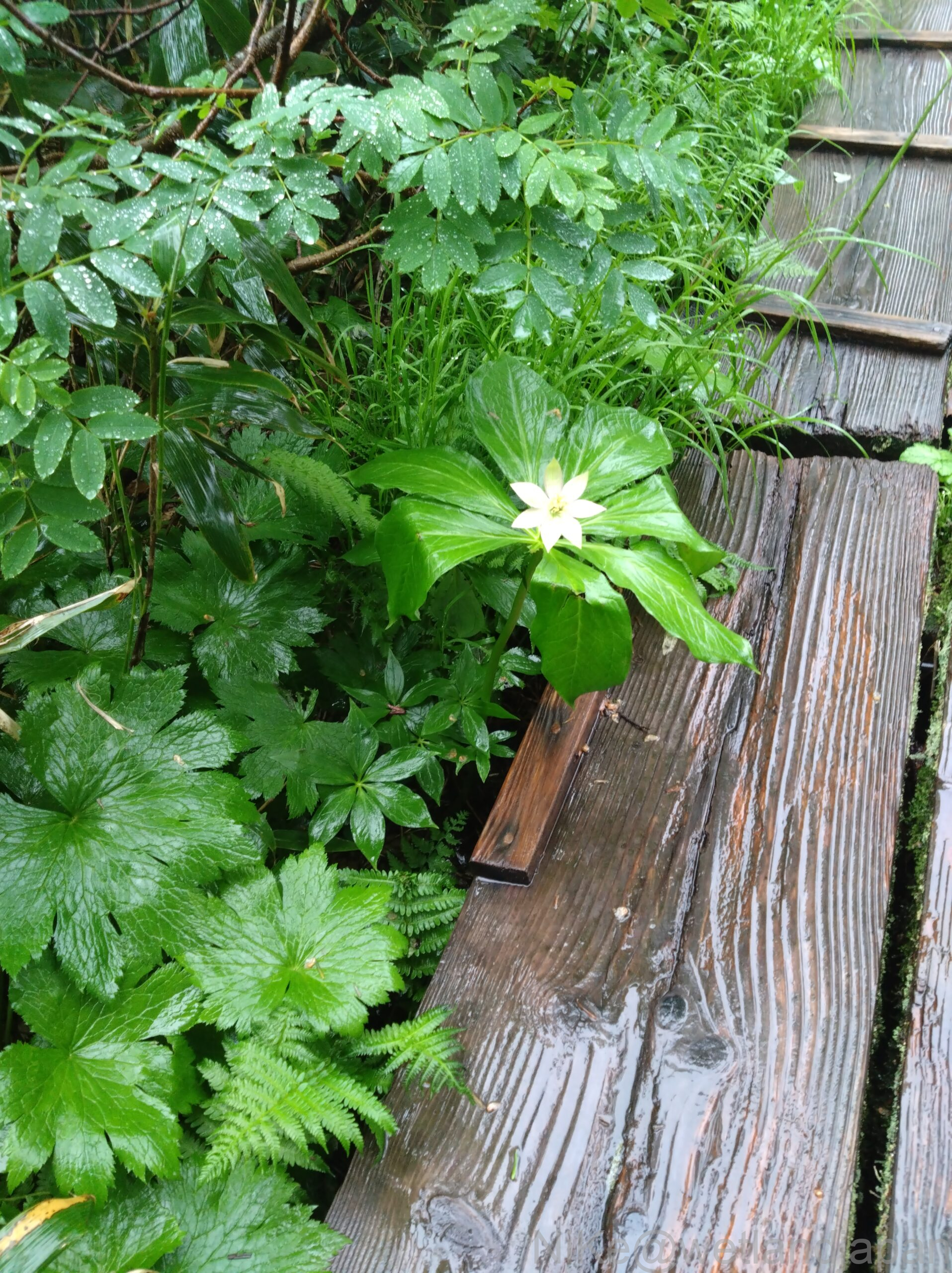
On the right, you can see the opposite bank of Hachimantuma Pond if the weather is good, but you can only see about 1/3 of it. The white flowers of the genus Kinugasa-sou are small compared to the size of the leaves.
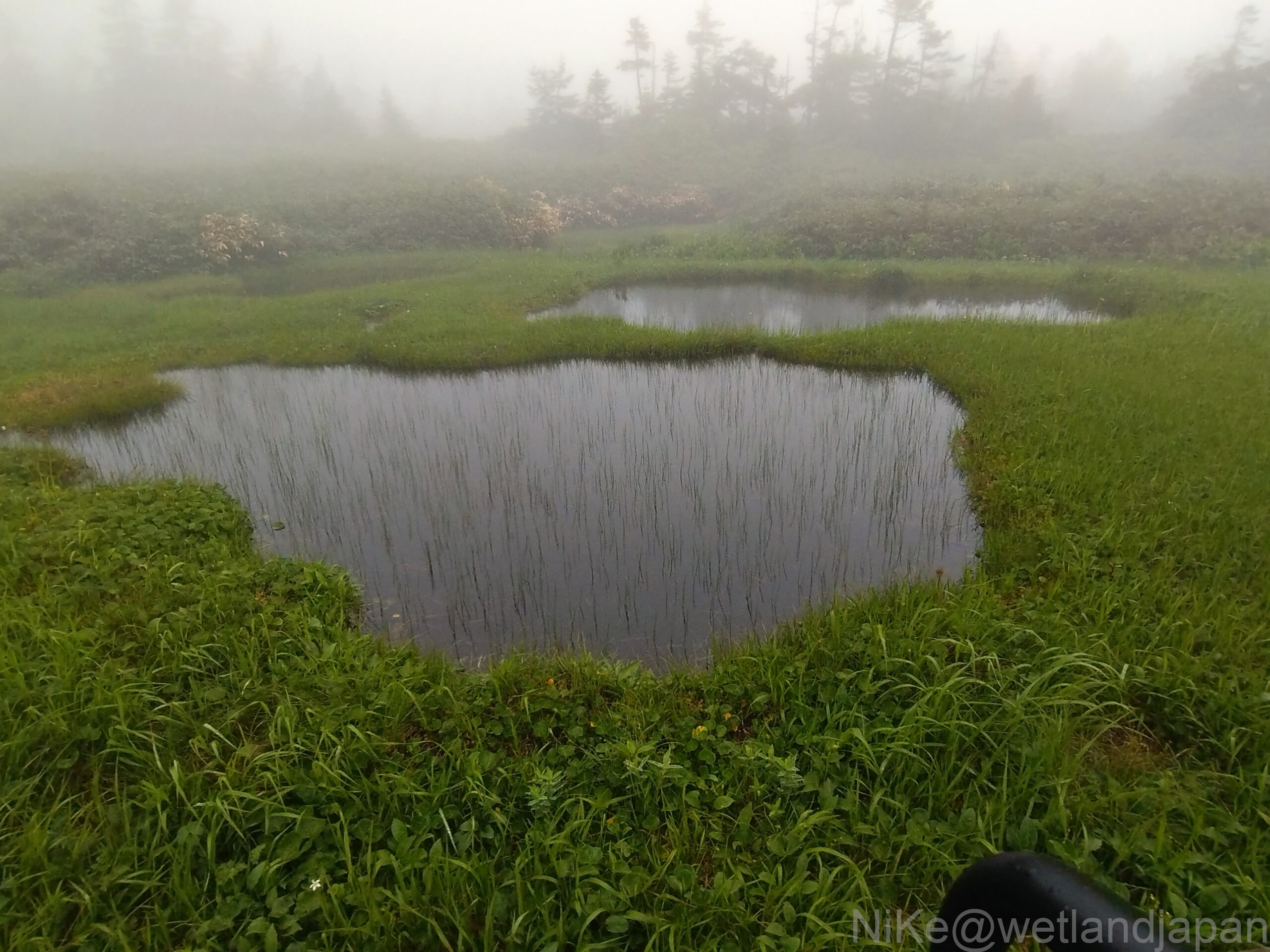
A little way from the fork into Mikaeri Pass, there is a developed highland marsh.
The mound is densely covered with sphagnum moss, forming a layer of peat.
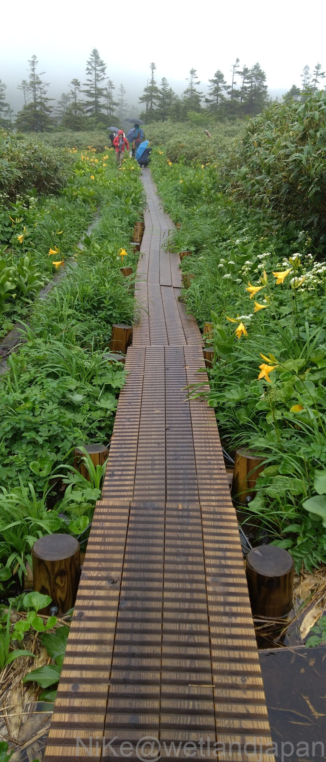
At the end of the boardwalk there are yellow flowers called Hemerocallis day lilies and white flowers called Hemerocallis monadelpha.
The bamboo shoot-like things you see in the pond are Mitsugashiwa.
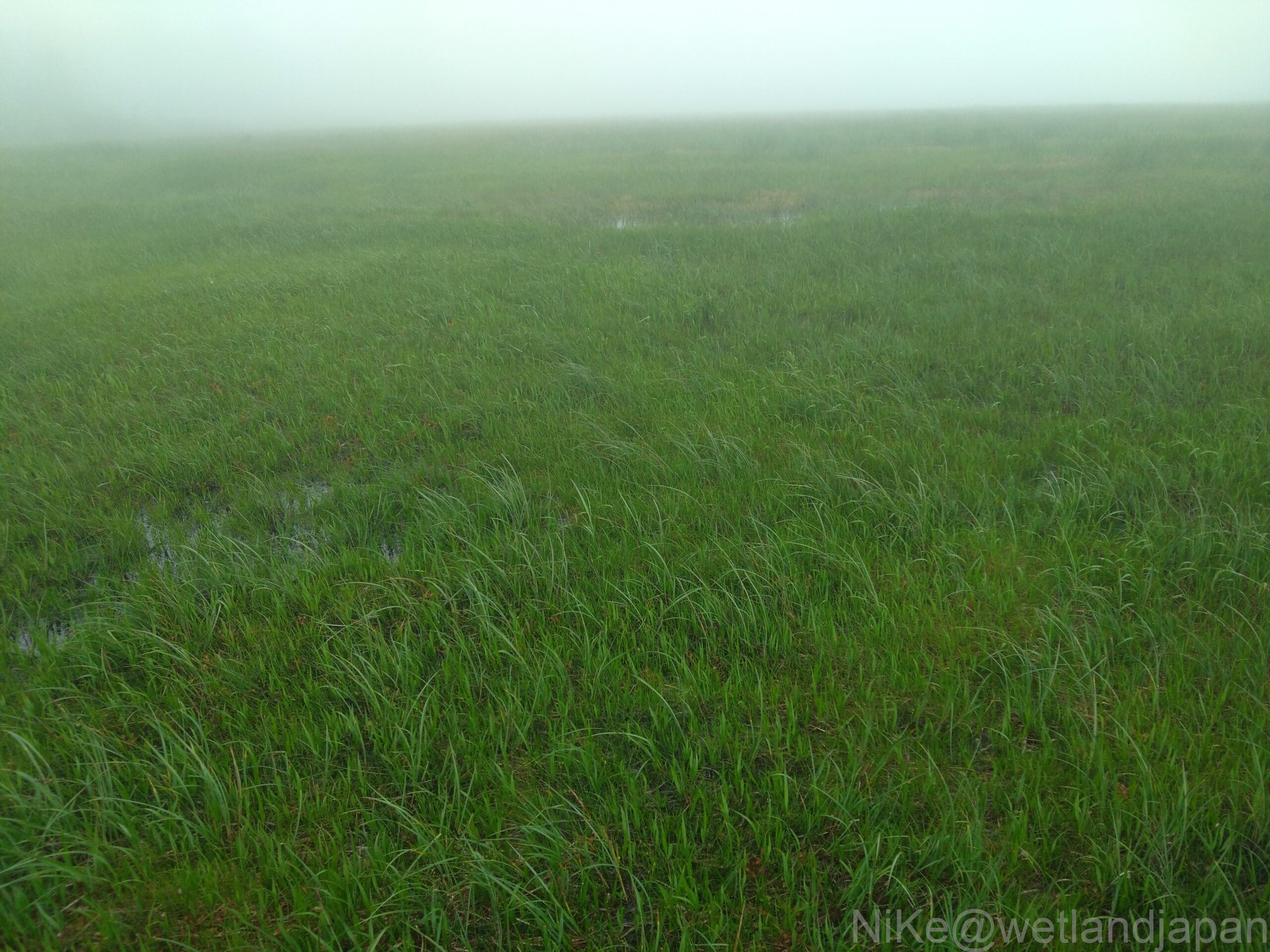
The marshland ends when shrubs come into view. It took about two hours to walk through the Hachimanuma marshland.
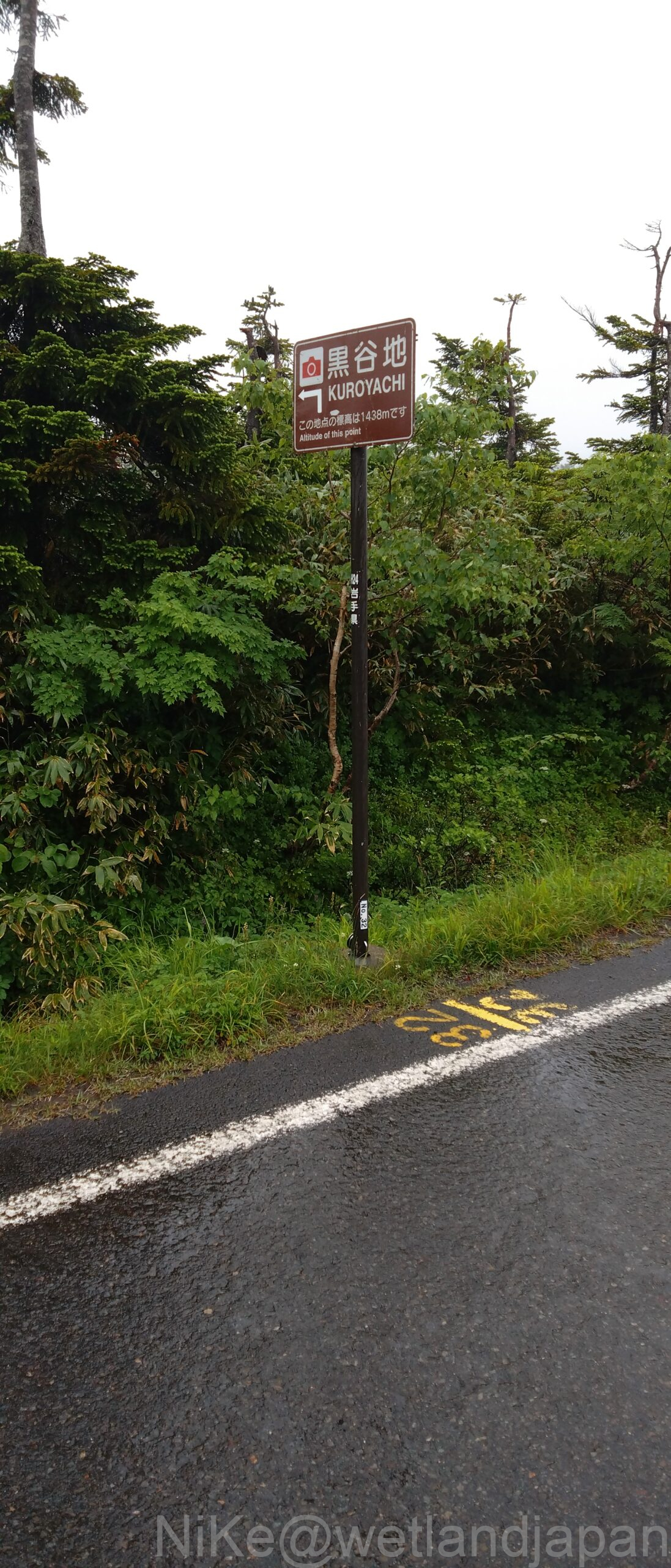
Kuroyachi Marshland
A little way down the Aspite Line is Kuroyachi Marsh.
The entrance to the marshland faces the road. You will be greeted by Hemerocallis day lilies.
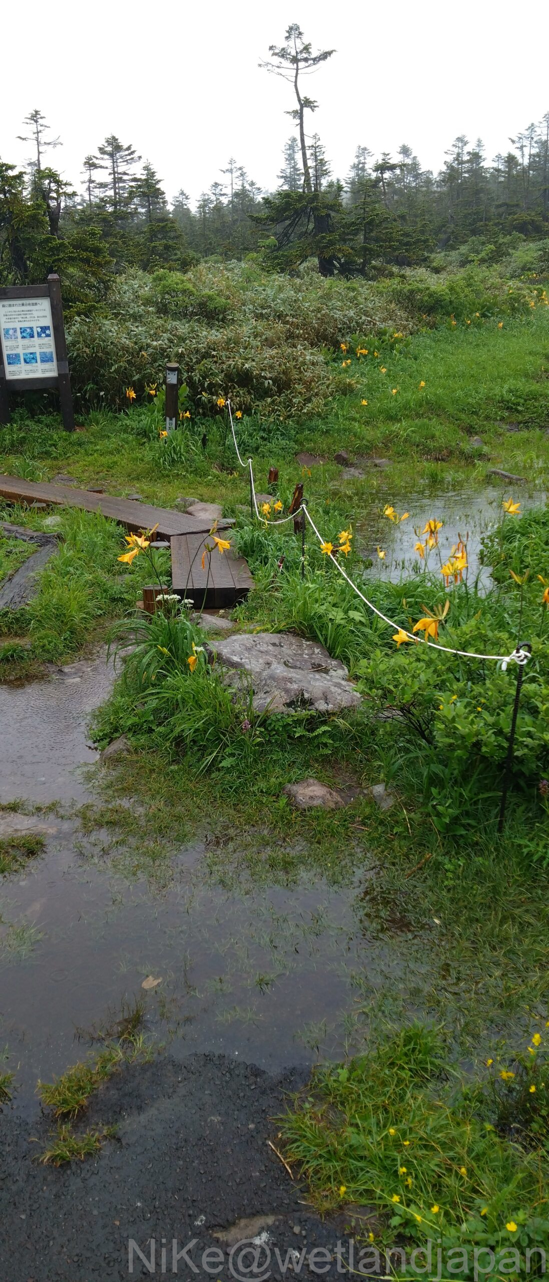
This boardwalk seems to continue all the way to the Genta Forest nature trail.
The yellow flowers on both sides are Hemerocallis day lilies.
Delicious spring water as shown on the guide map.
It was raining so I wasn't thirsty.
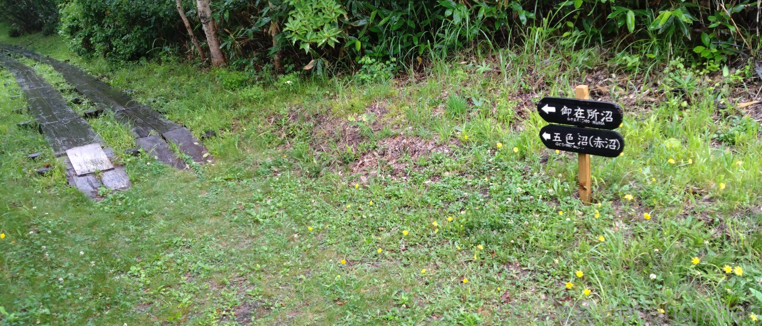
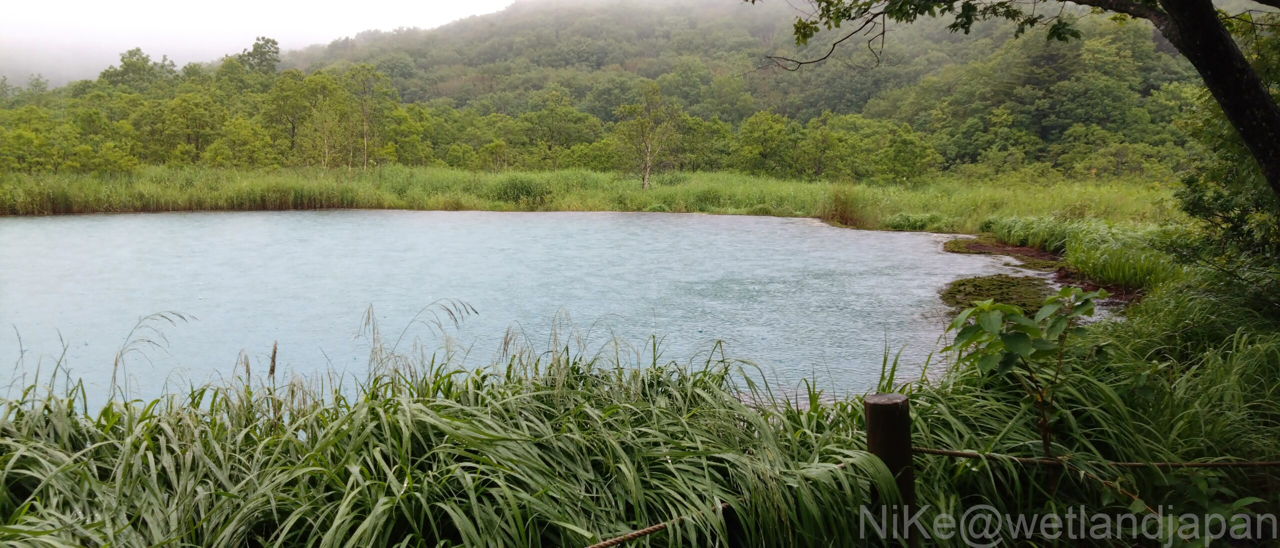
Gozaisho Swamp
We will go to Gozaisho-numa, the last marshland in Hachimantai. First, we will go to the information board.
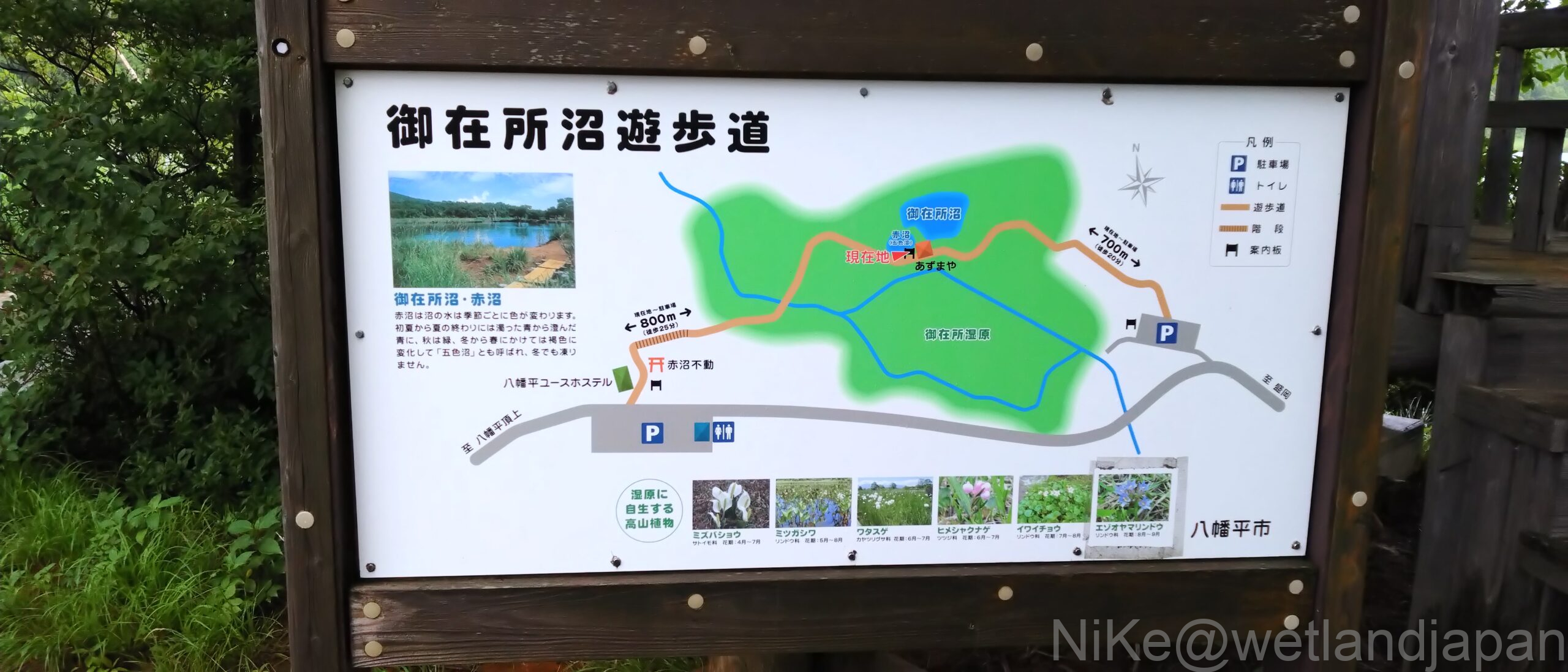
There is a sign at the beginning of the boardwalk a little further back.
The white flowers are rowan.
The slightly dry marshland is where marsh plants and mountain trees co-exist. At the end of the boardwalk is Hidari Akanuma.
There is a gazebo in the middle of Gozaisho Swamp on the right.
To the right of the gazebo spreads the Gozaisho Lake.
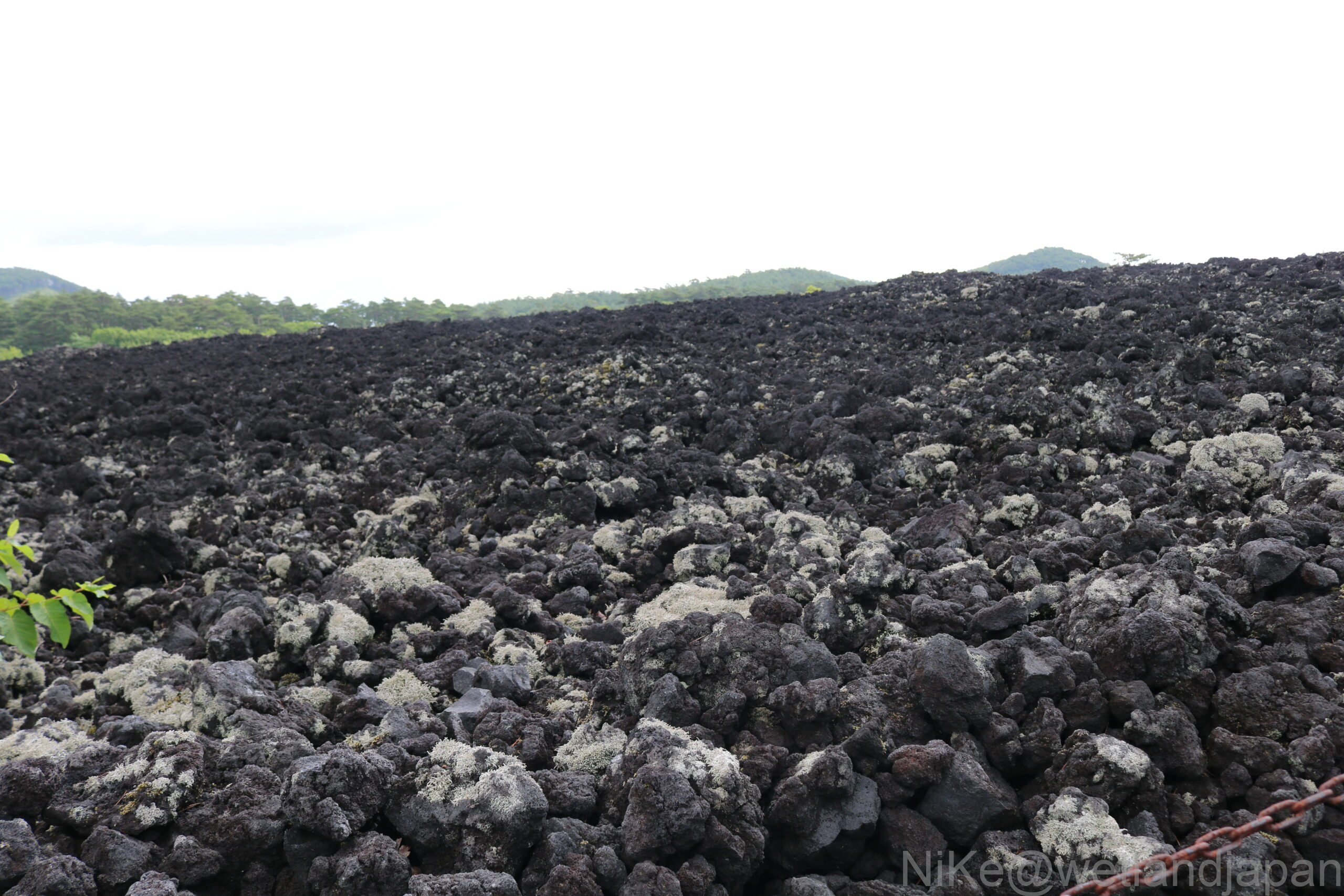
(Burning lava flow)
After finishing up at Hachimantai, we stretched our legs and went to see the burning lava flows on Mt. Iwate.
This is lava that flowed during the eruption in 1719 (about 300 years ago).
Afterword
There was thick fog all the way to our lodgings, and it rained all day the next day. It was a trip where we got to experience another side of nature.
The trees here have survived in harsher conditions for decades.
However, what may have been even more painful was the construction of roads and tourist facilities.
This is not the only place you can get to by car.
I hope that it does not become a target of overtourism and lead to the destruction of the environment.
Comments