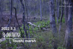
Let's go to Fuyushi Marsh!
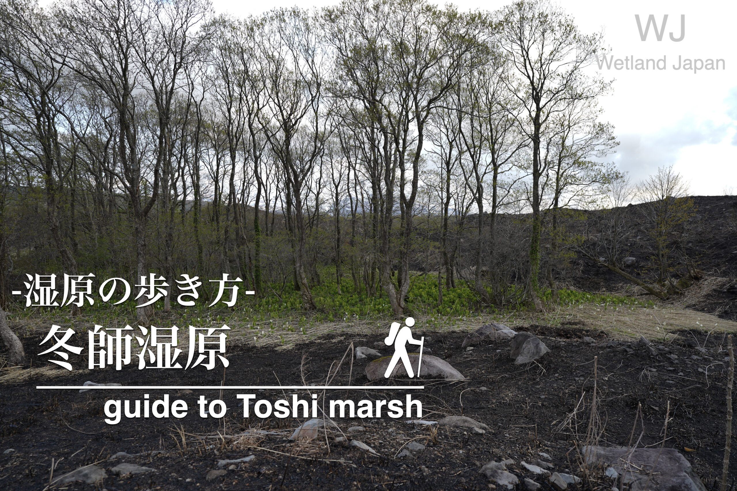
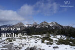
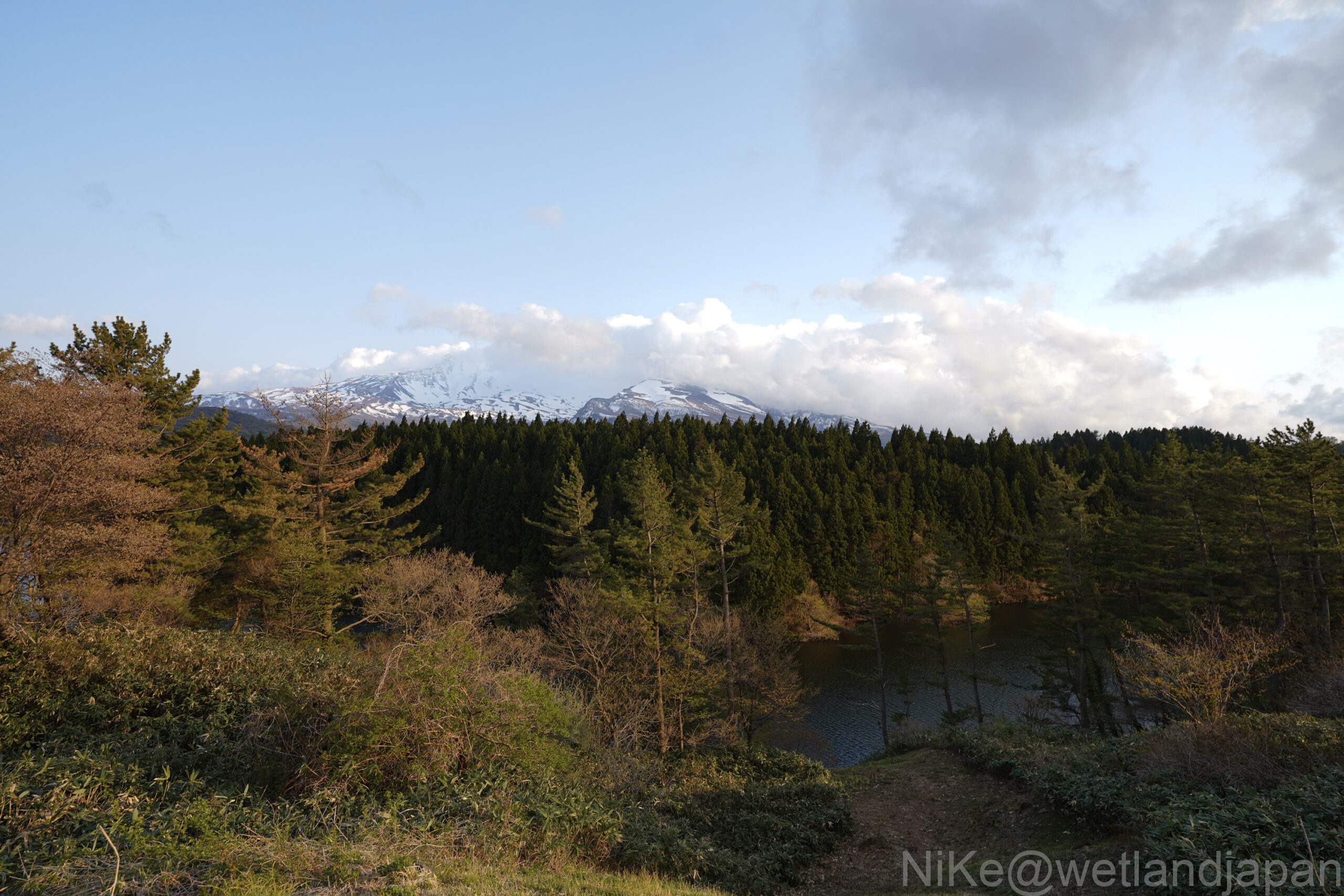
Toushi Marsh, which stretches across the Toushi district of Nikaho City, Akita Prefecture, is located on the Nikaho Plateau at the northern foot of Mount Chokai, at an altitude of approximately 400 meters.
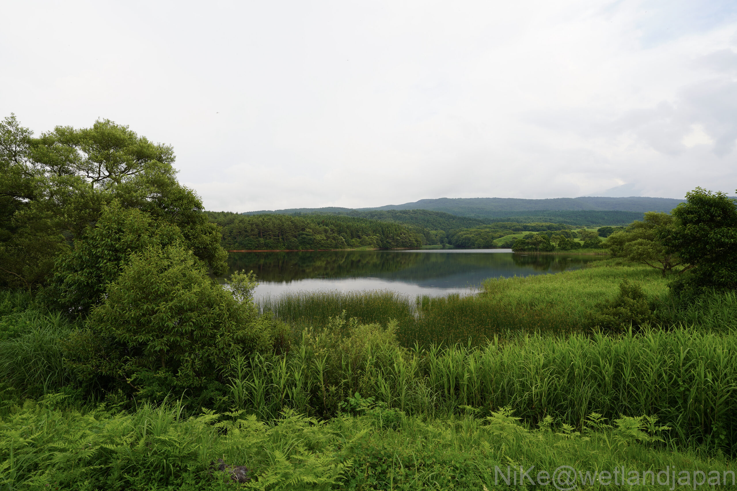
The surrounding area is surrounded by a series of small hills called Nagareyama, and the reservoirs and wetlands scattered among them create a landscape with uneven topography reminiscent of the "Kujukushima of Kisakata."
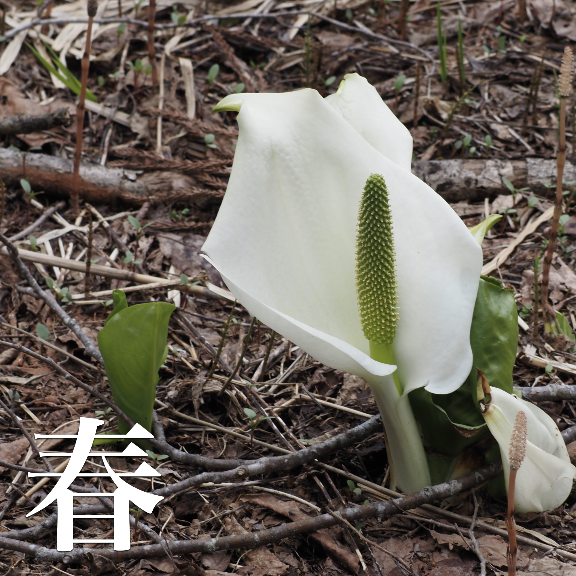
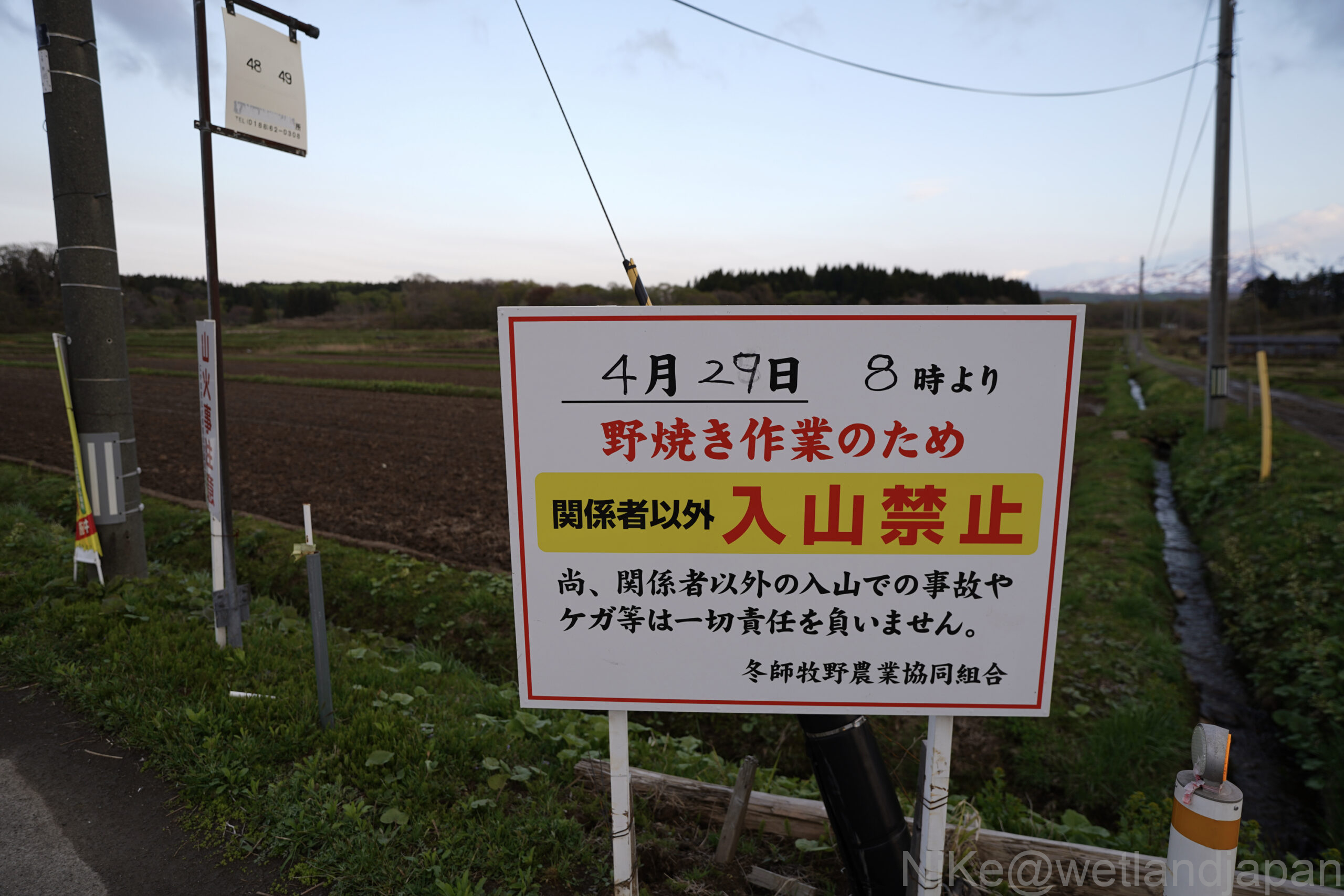
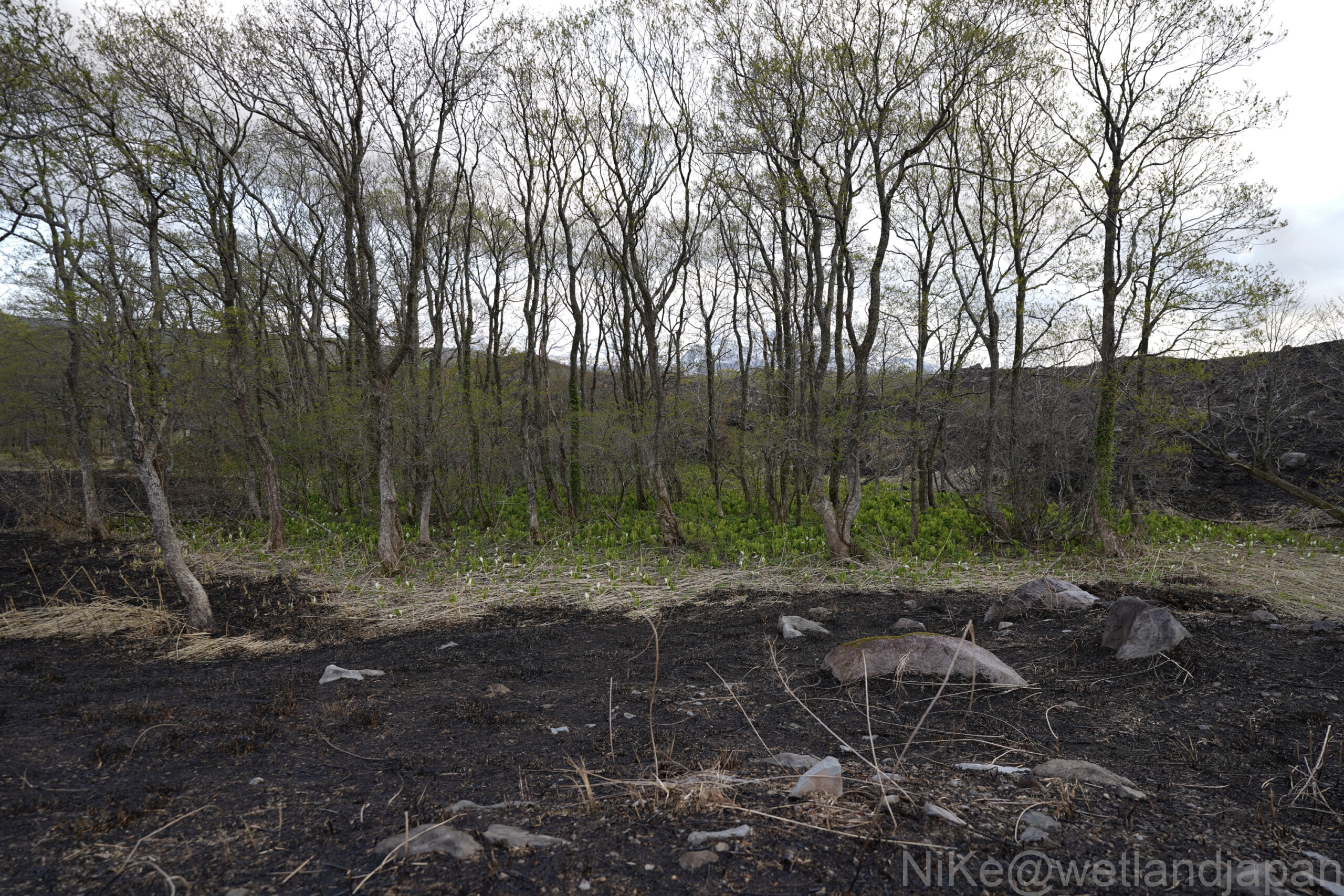
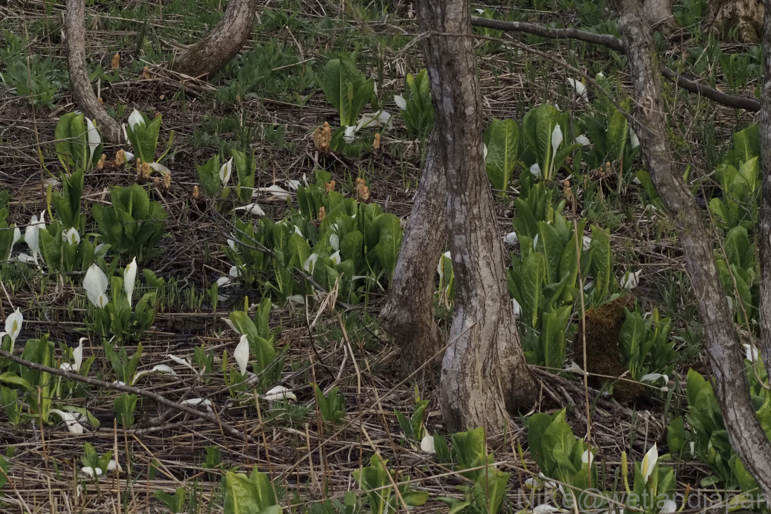
In early spring, when local residents burn the fields, the white flowers of the skunk cabbage fill the spaces between the trees.
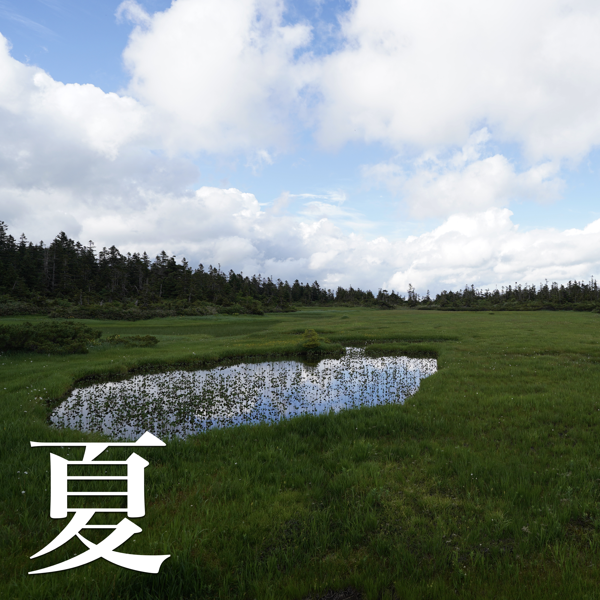
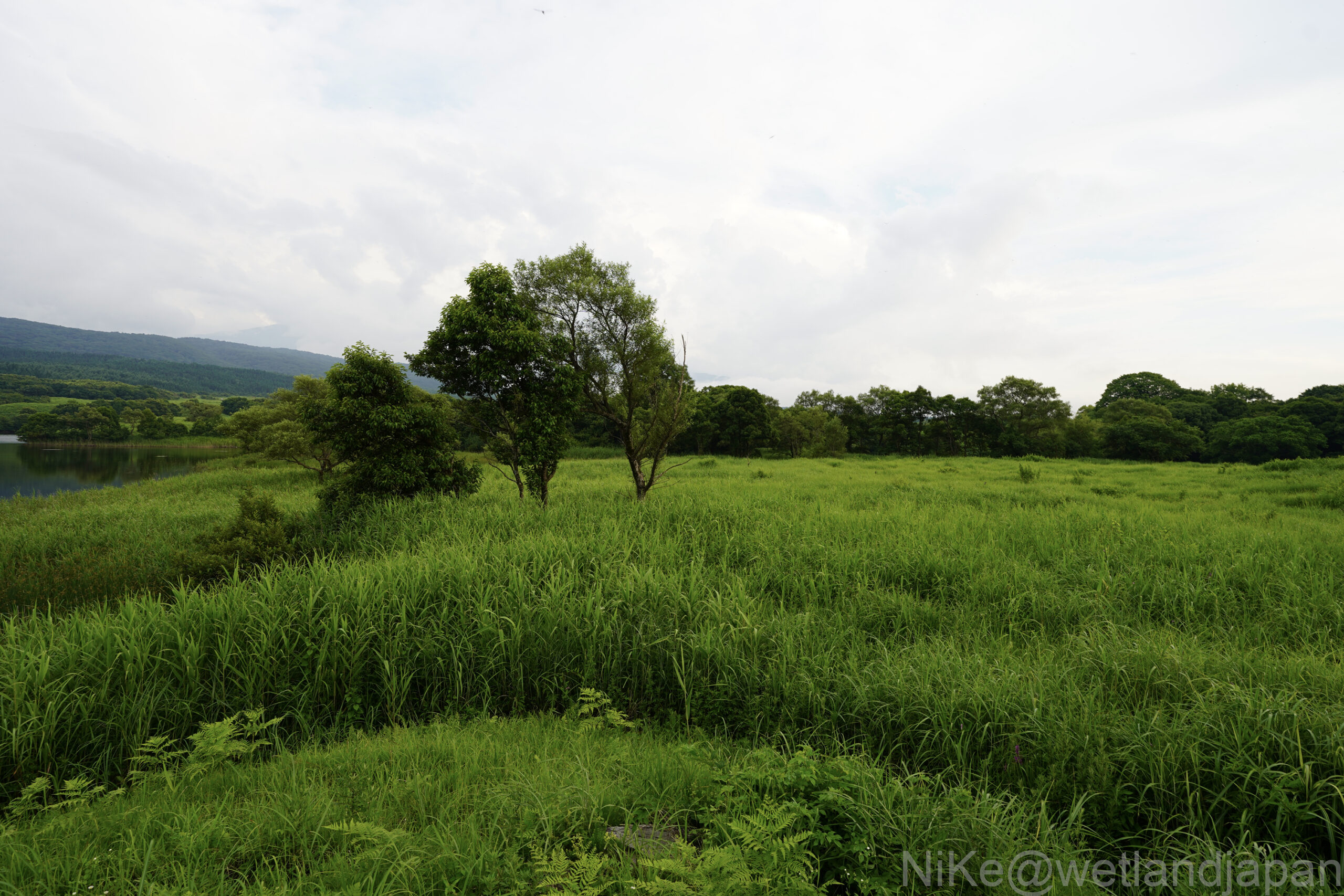
Its grassland-like scenery in summer is also distinctive, and it is a beautiful marshland that is maintained through the efforts of the local community.
table of contents
Get to know the marshes
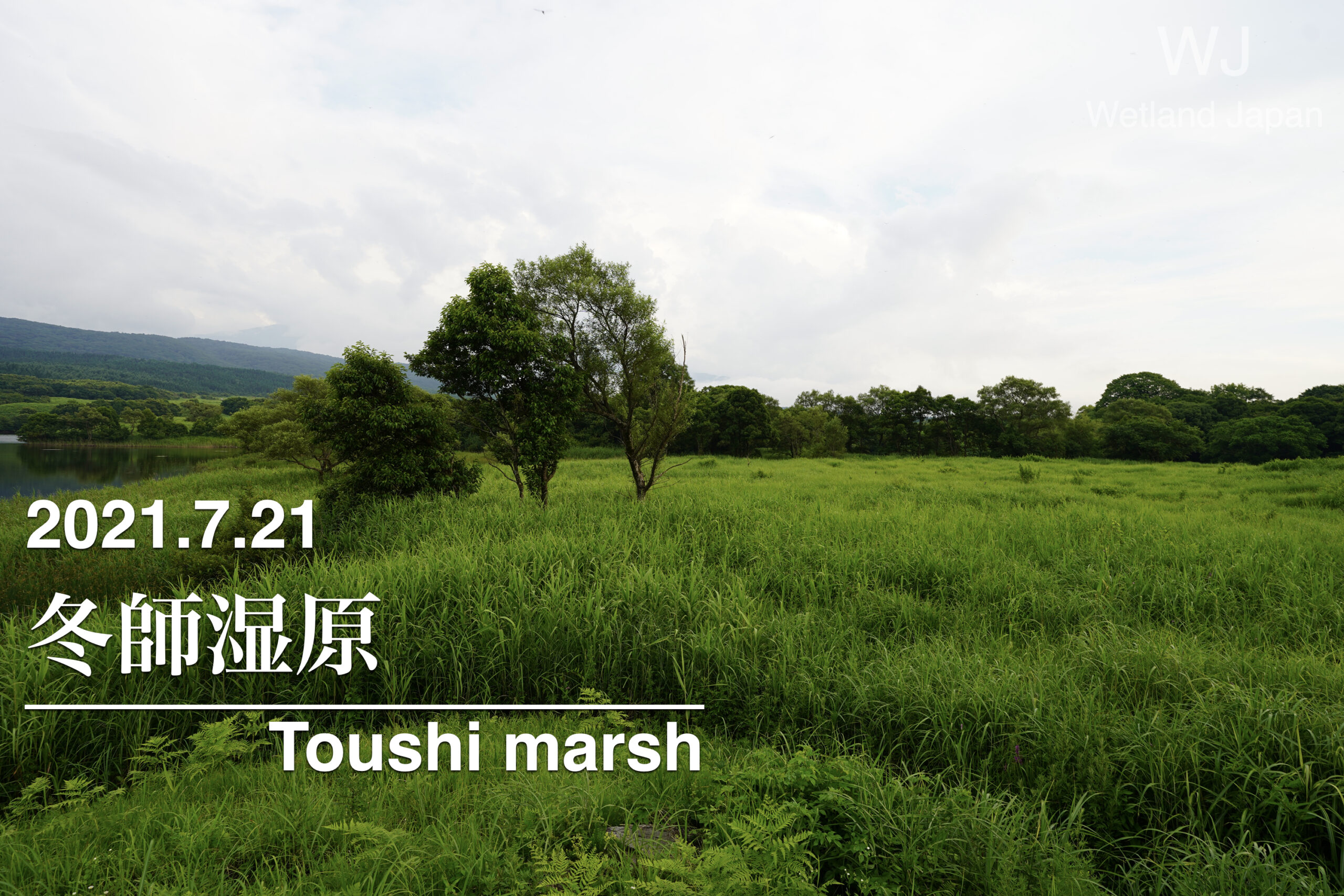
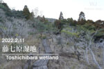
The Fuyushi Marsh is located on the south side of the Fuyushi village in Nikaho city. Approximately 260 hectares It is a vast marshland and wetland covering an area of 1,000m².
In early spring, the skunk cabbage blooms all at once at Fuyushi Marsh, becoming a seasonal sight that symbolizes the marsh's seasonal flowering.
This marsh is a complex environment consisting of a mosaic of marsh vegetation, grassland vegetation, swamp forests, and reservoirs.
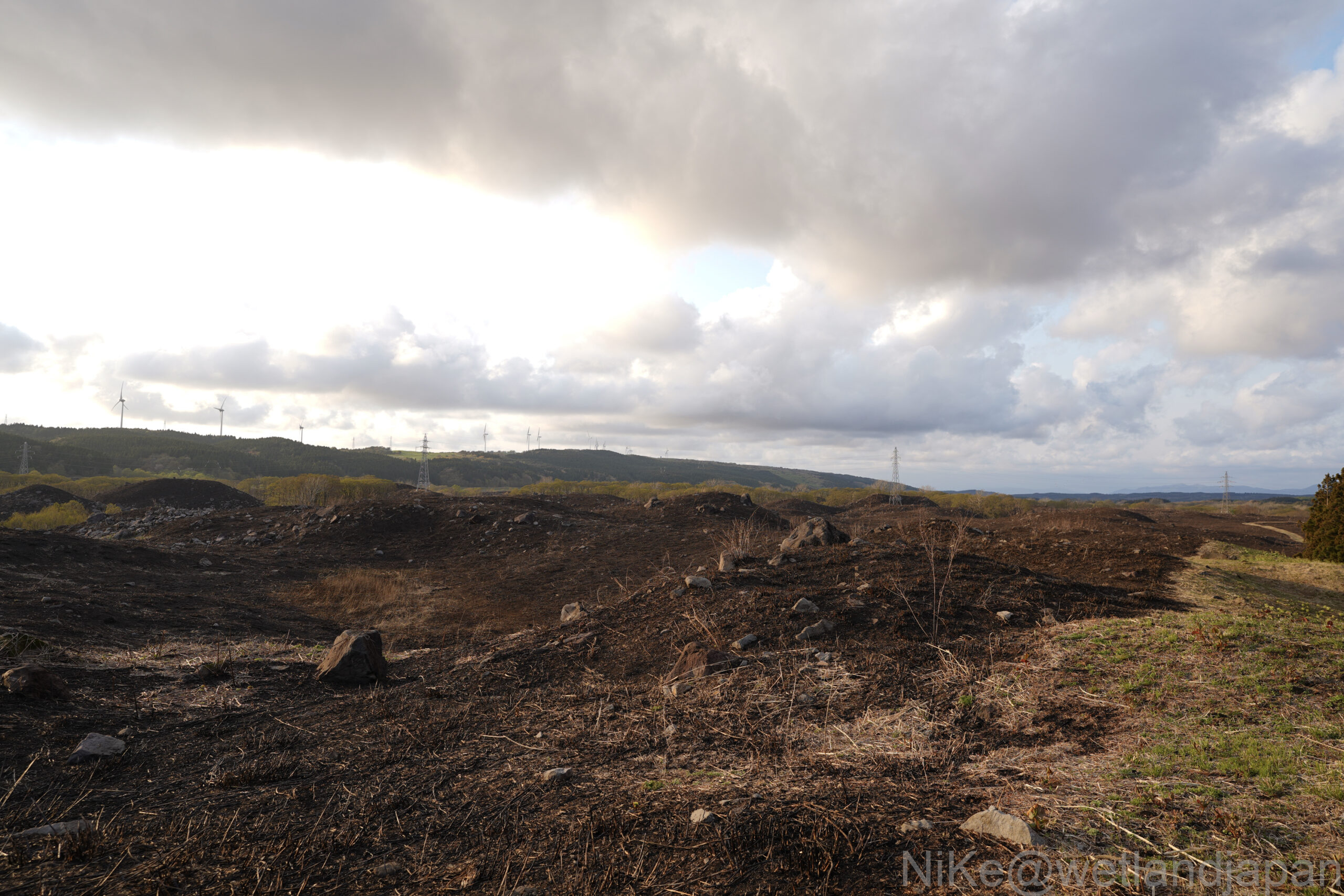
In areas where grassland elements are prominent, a pampas grassland landscape has developed and has been maintained through the traditional practice of burning fields (spring fires).
Colonies of alder trees can also be seen throughout the Fuyushi Marsh area.
There are a group of reservoirs, including the Ogiyachi Reservoir, where floating-leaf plants such as water shield and water hyacinth, as well as surface plants, can be seen.
The topography of Fuyushi Marsh was formed by the accumulation of rock masses caused by the large-scale collapse and debris avalanche of Mt. Chokai, and the resulting changes in the topography.Flowing mountain structureThis is due to:
The collapse of Mount Chokai, which is believed to have occurred in 466 BC (approximately 2,500 years ago), is thought to have dammed the surrounding rivers and compacted the terrain, creating depressions and stagnant water areas.
Water accumulates in the gaps between these hillocks and depressions (flowing mountain topography), resulting in the formation of marshes and ponds.
The entire wetland has been designated as an important wetland by the Ministry of the Environment as part of the northern foothills of Mt. Chokai wetlands, and is highly significant from the perspectives of geology, biodiversity, and landscape preservation.
Touring the Marshes
Early May

Late July
The landscape becomes like a grassland.
Alluvial fan reservoir
Equipment, stamina, and skills
Getting to the site by car is the hardest part.
There are no boardwalks or anything like that, so it is a marshland that you have to view from the outside.
If you stay along the path, there are no dangerous spots.
Touring the Marshes
There are no toilets.
There is a large parking space in front of the Ogiyachi Reservoir, so parking is possible.
▼There is a sign just before the point, and from here on you will be driving on an unpaved road.
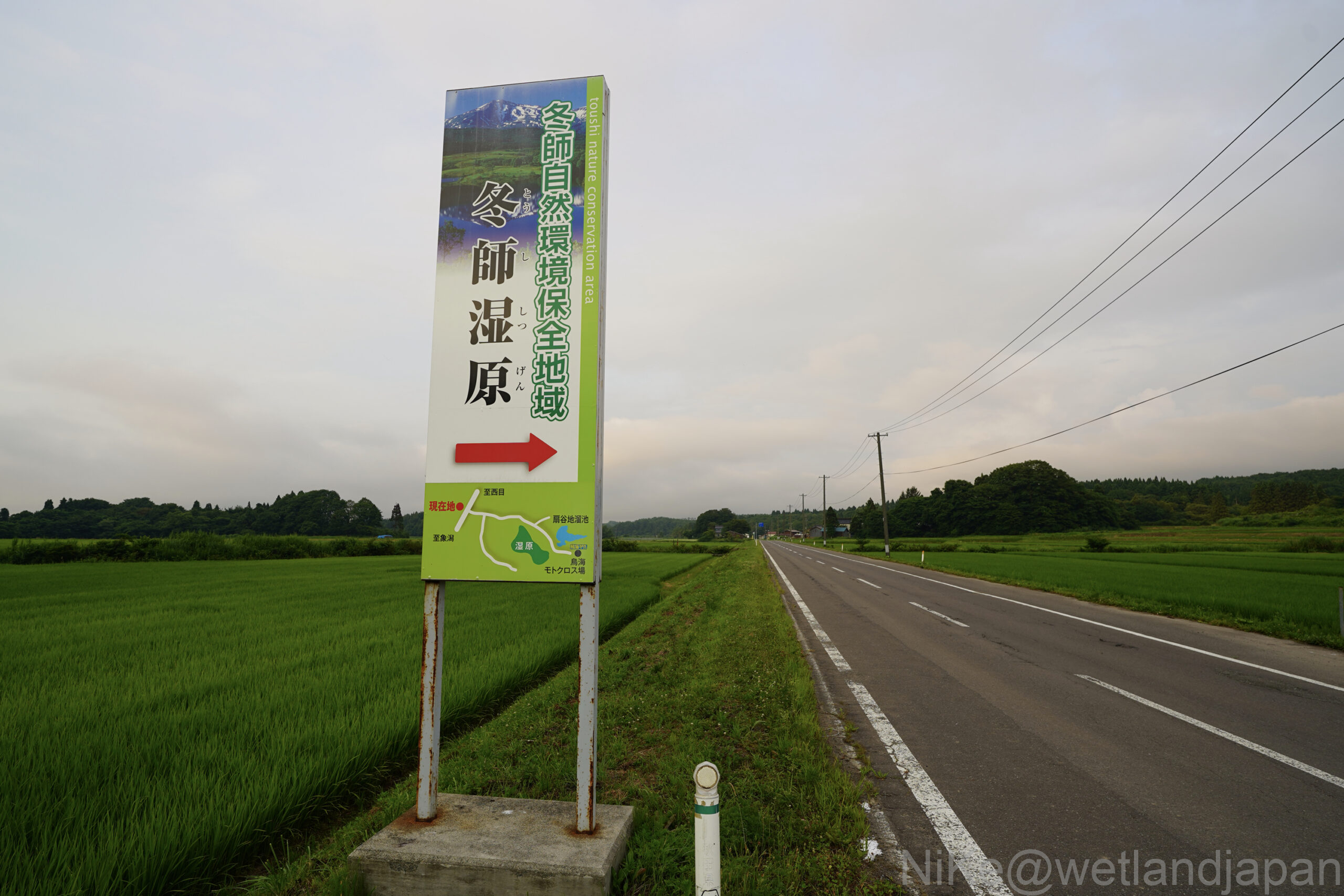
access
About 45 minutes from Yusabiko IC on the Nihonkai Tohoku Expressway