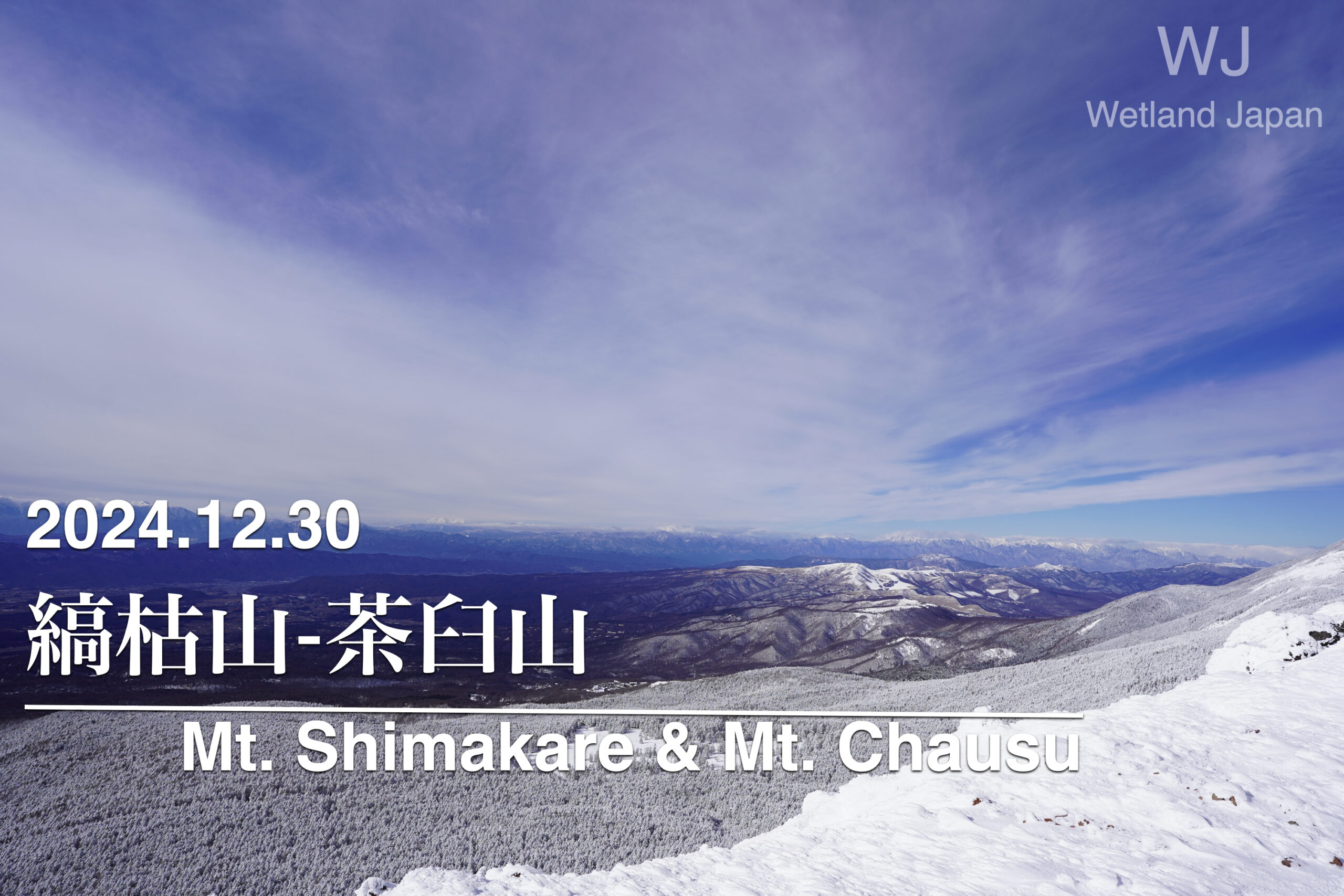
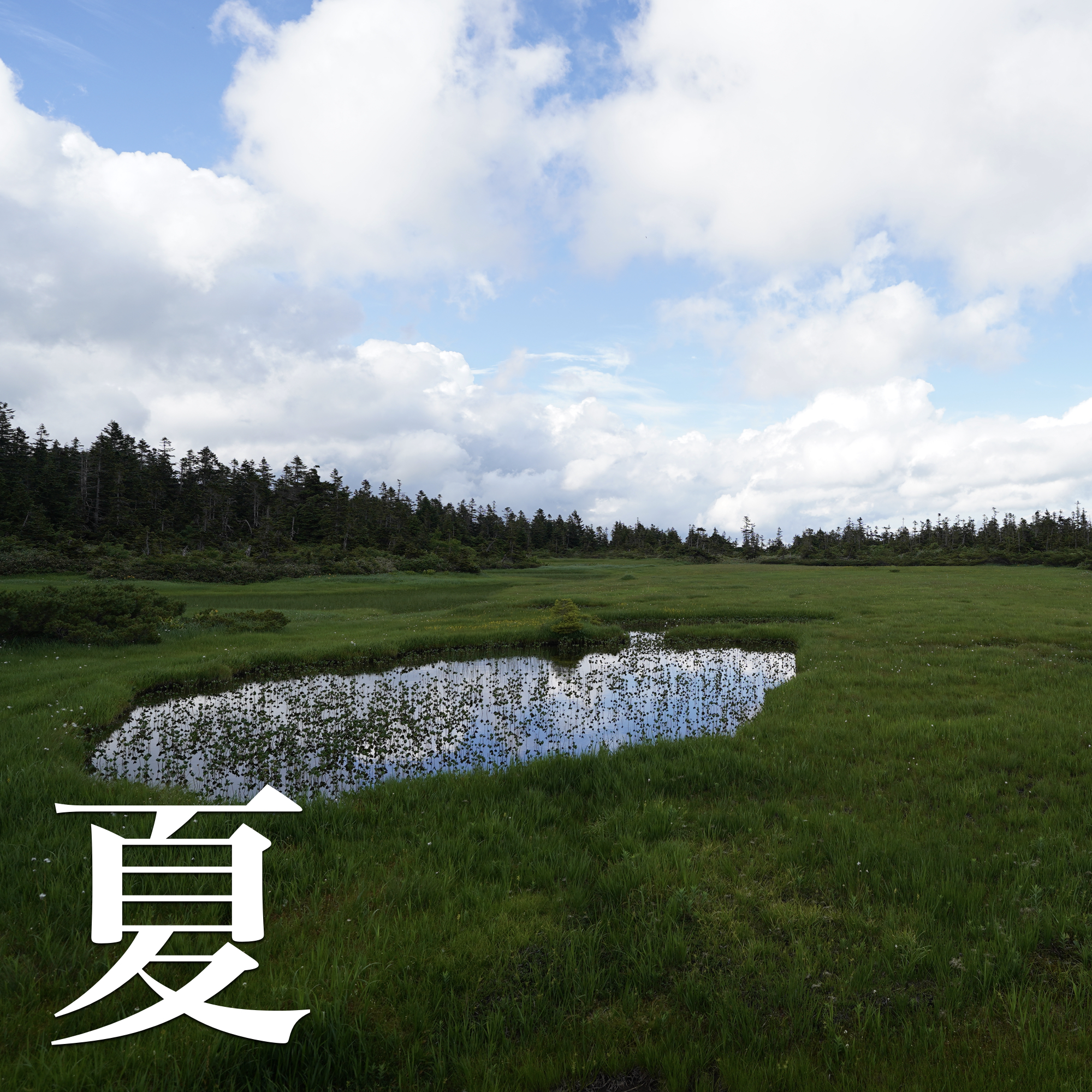
April 18, 2026, Mt. Irikasa, Irikasa Marshland
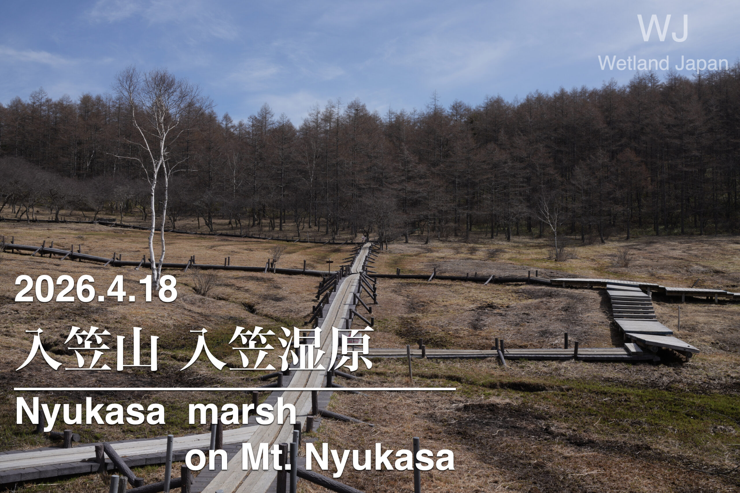
I visited the Irikasa Marshland on Mt. Irikasa in Fujimi Town, Nagano Prefecture.
search
The cable car is not operating as it is just before the start of the green season next week.
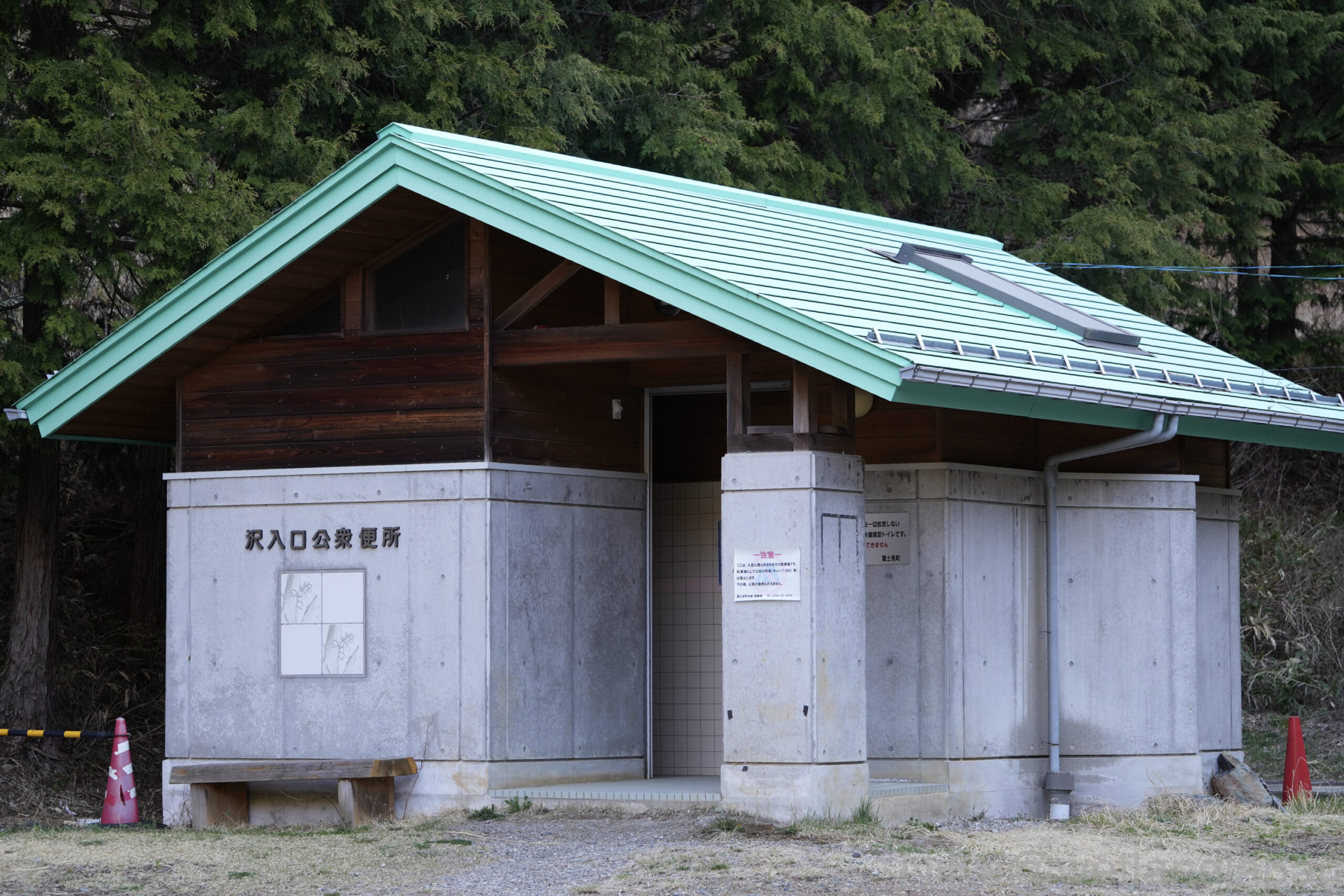
We will start from the Sawairi trailhead.
The parking lot has space for about 40 cars.
There are toilets at the trailhead.
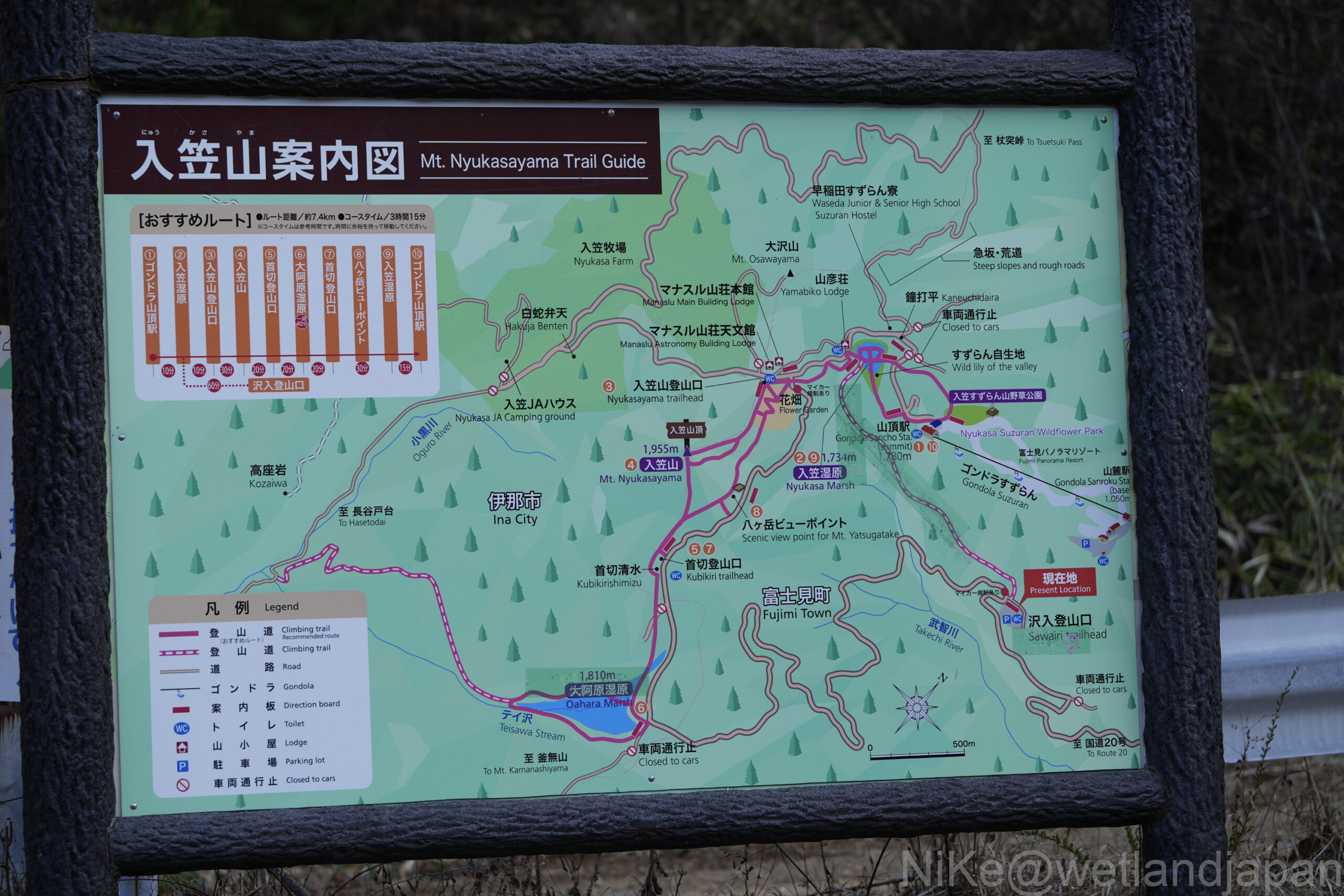
An easy-to-understand map is provided.
The lack of fading suggests that it has been well-maintained.
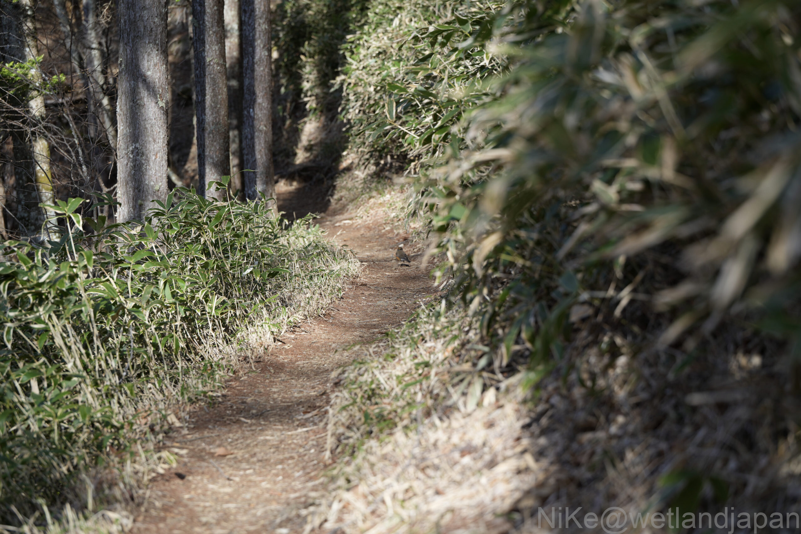
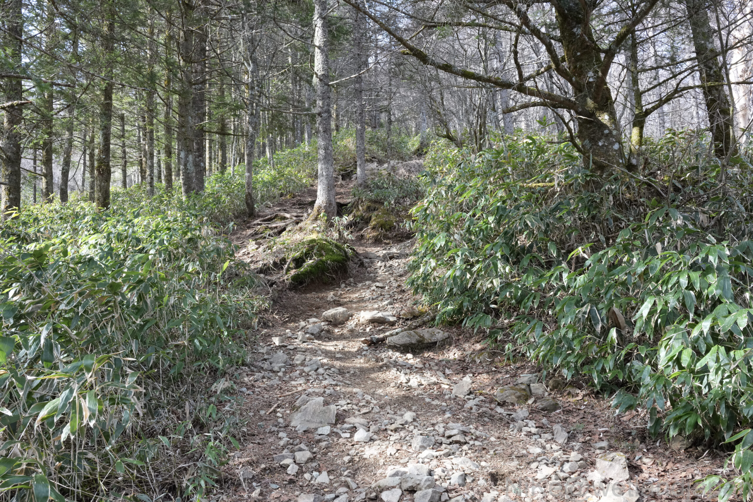
We immediately started climbing.
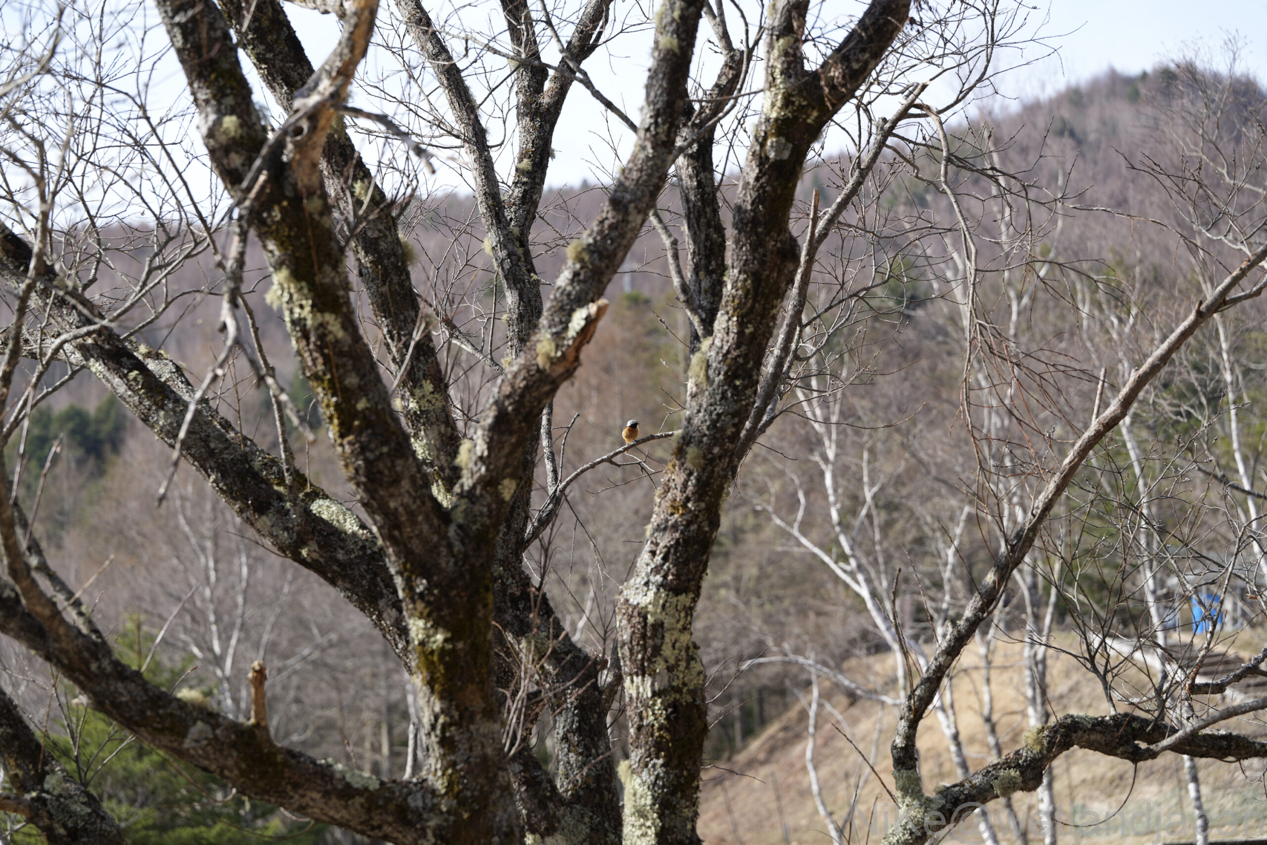
There are a lot of birds, probably because it's early morning.
I didn't have a telephoto lens, so the picture isn't great, but I think it's a Japanese Robin.
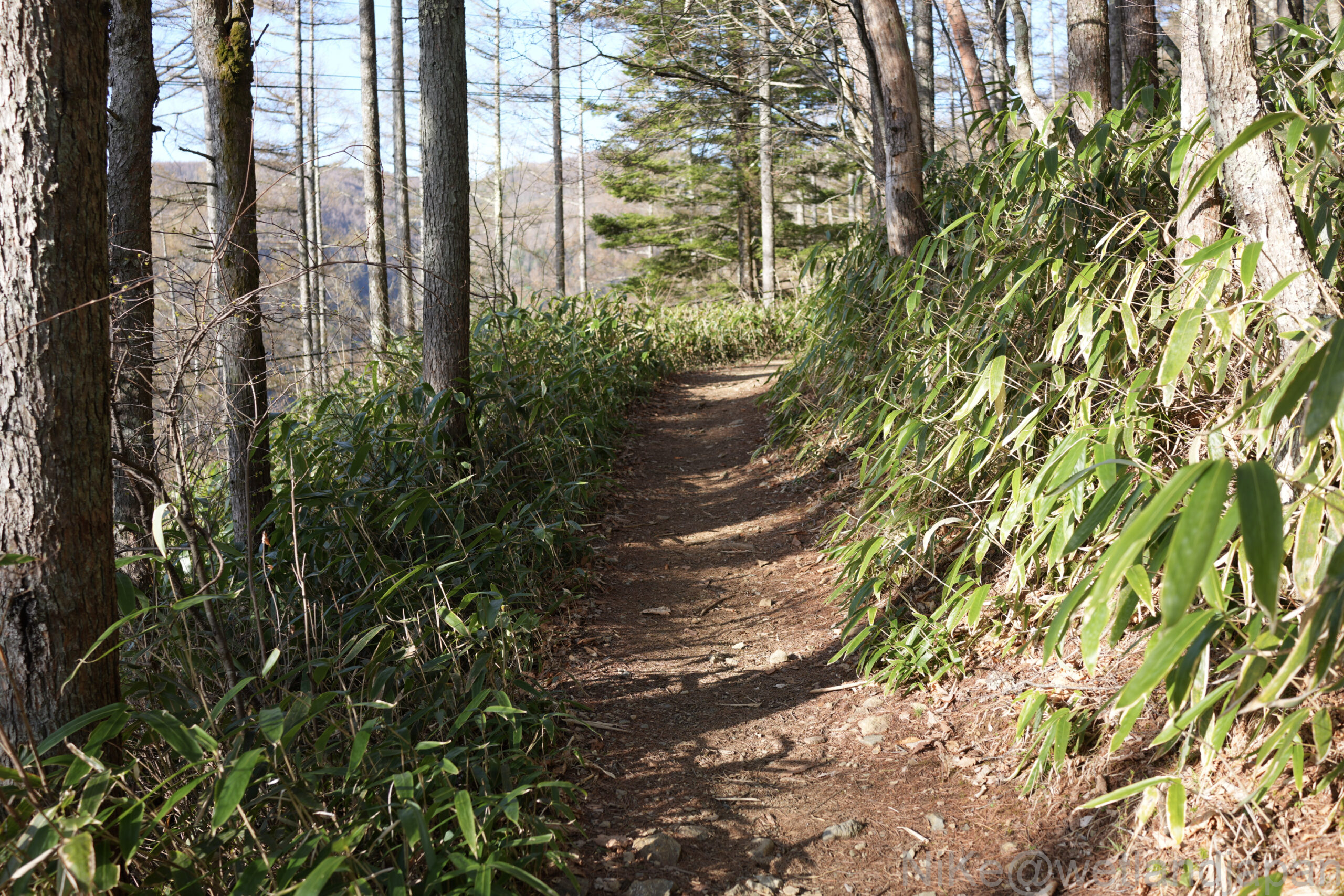
There are no difficult sections; it's more like a leisurely hike.
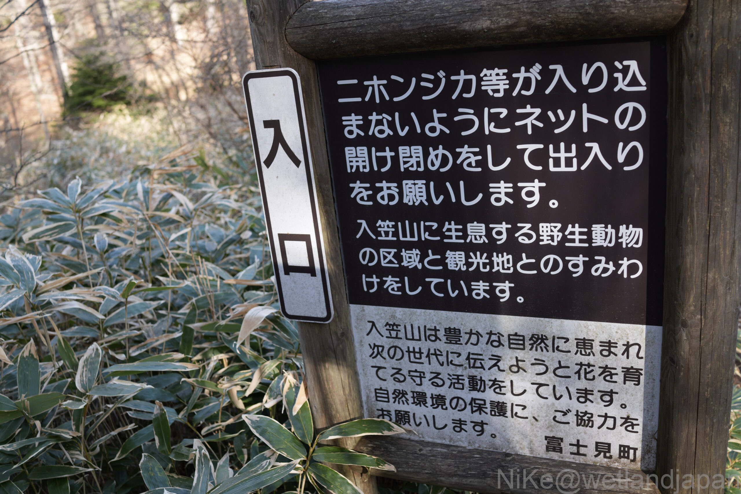
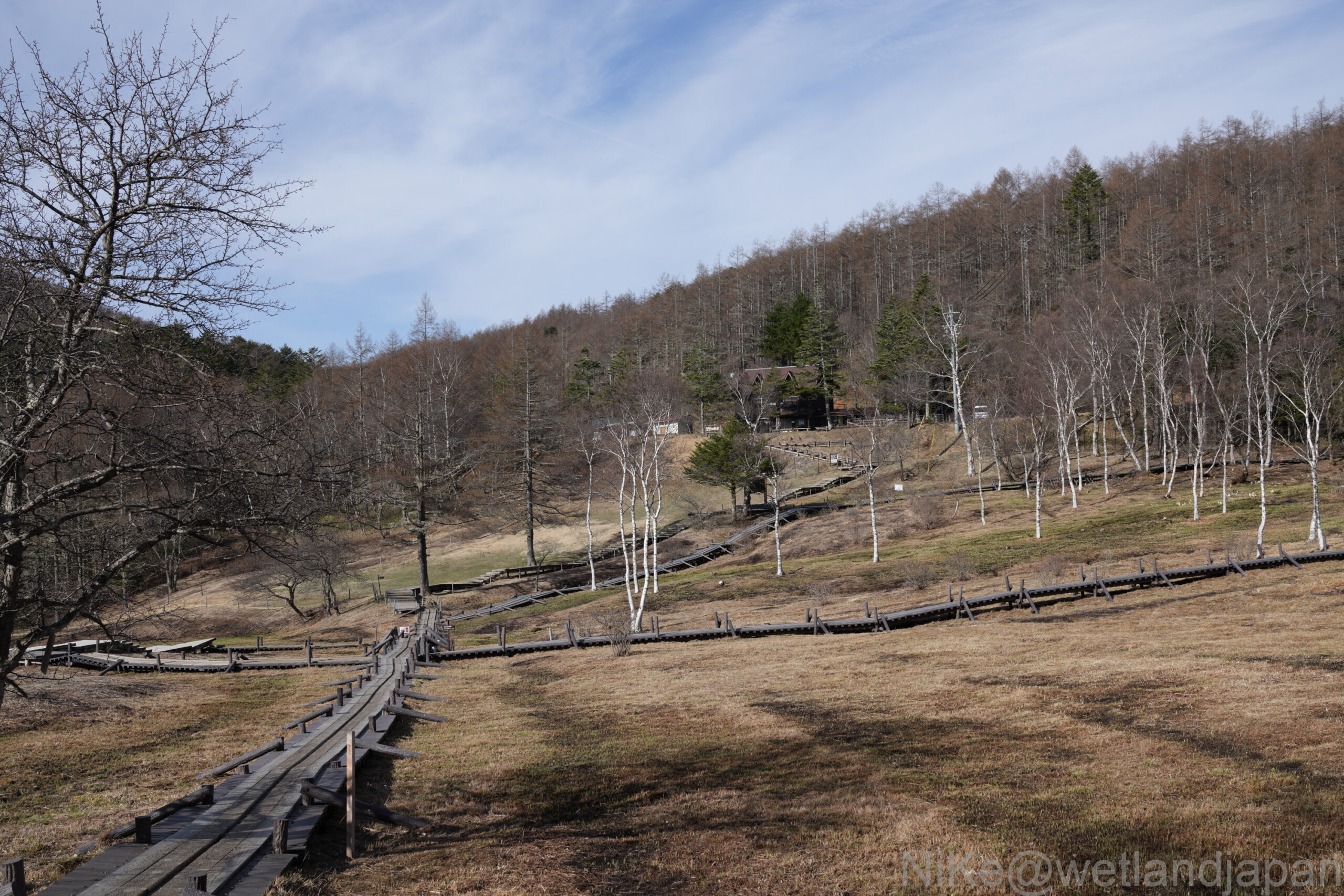
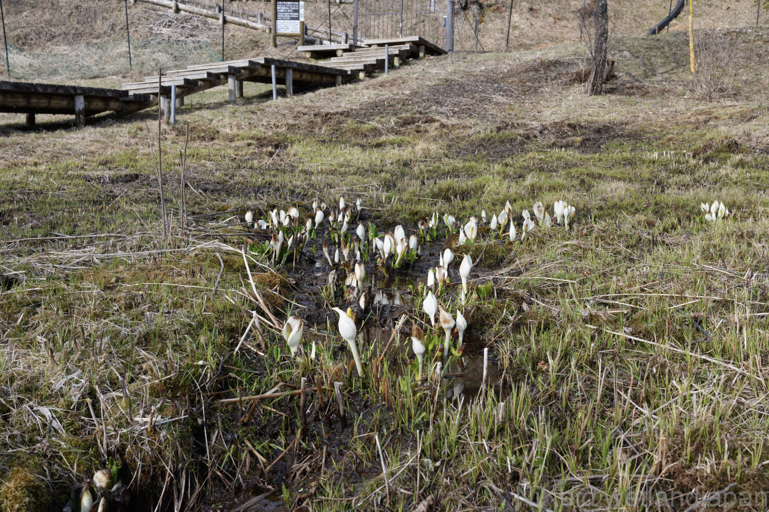
As you climb up, you'll come across an area enclosed by netting and an iron gate.
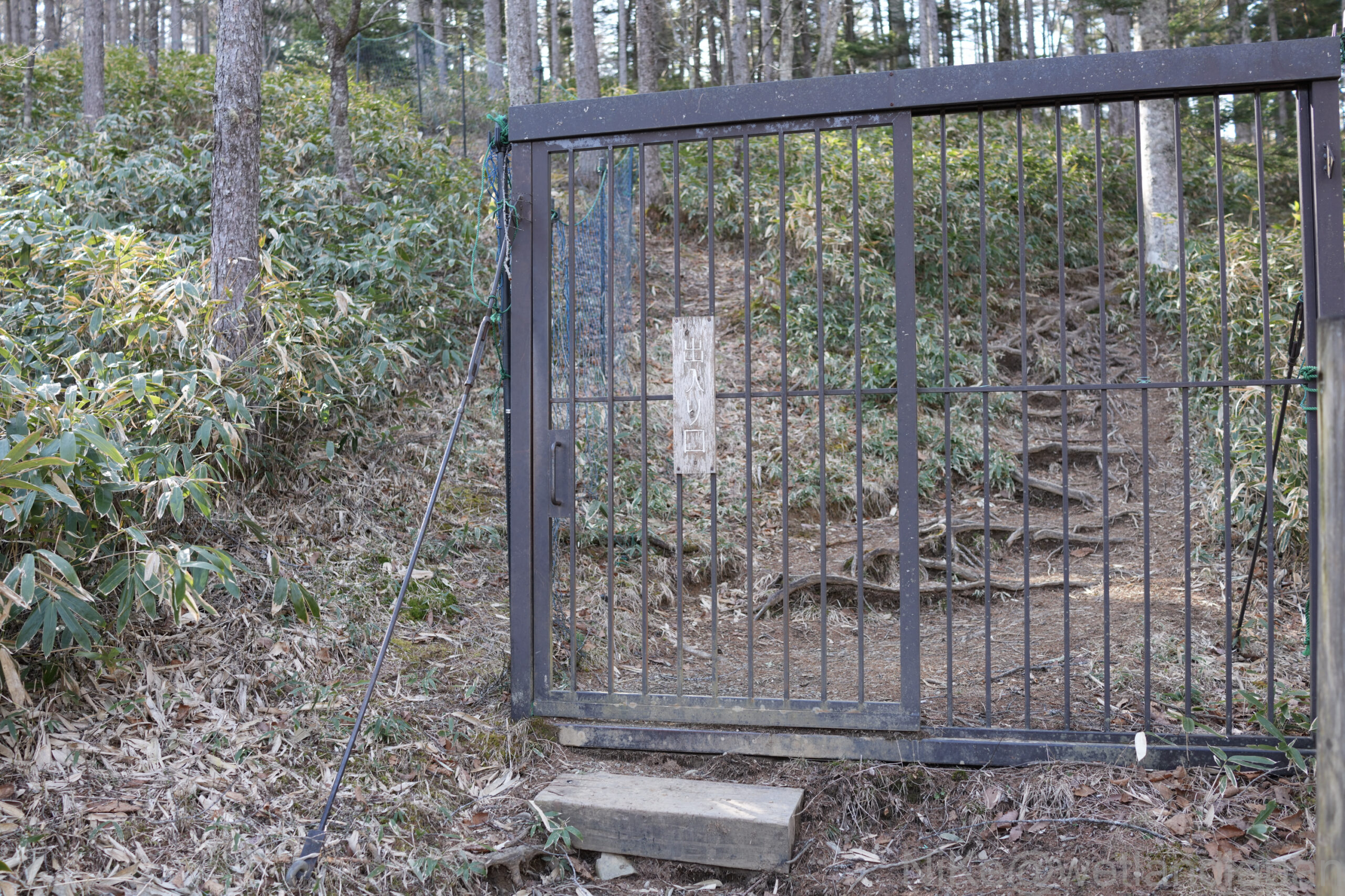
It seems they are trying to prevent deer from entering the wetlands.
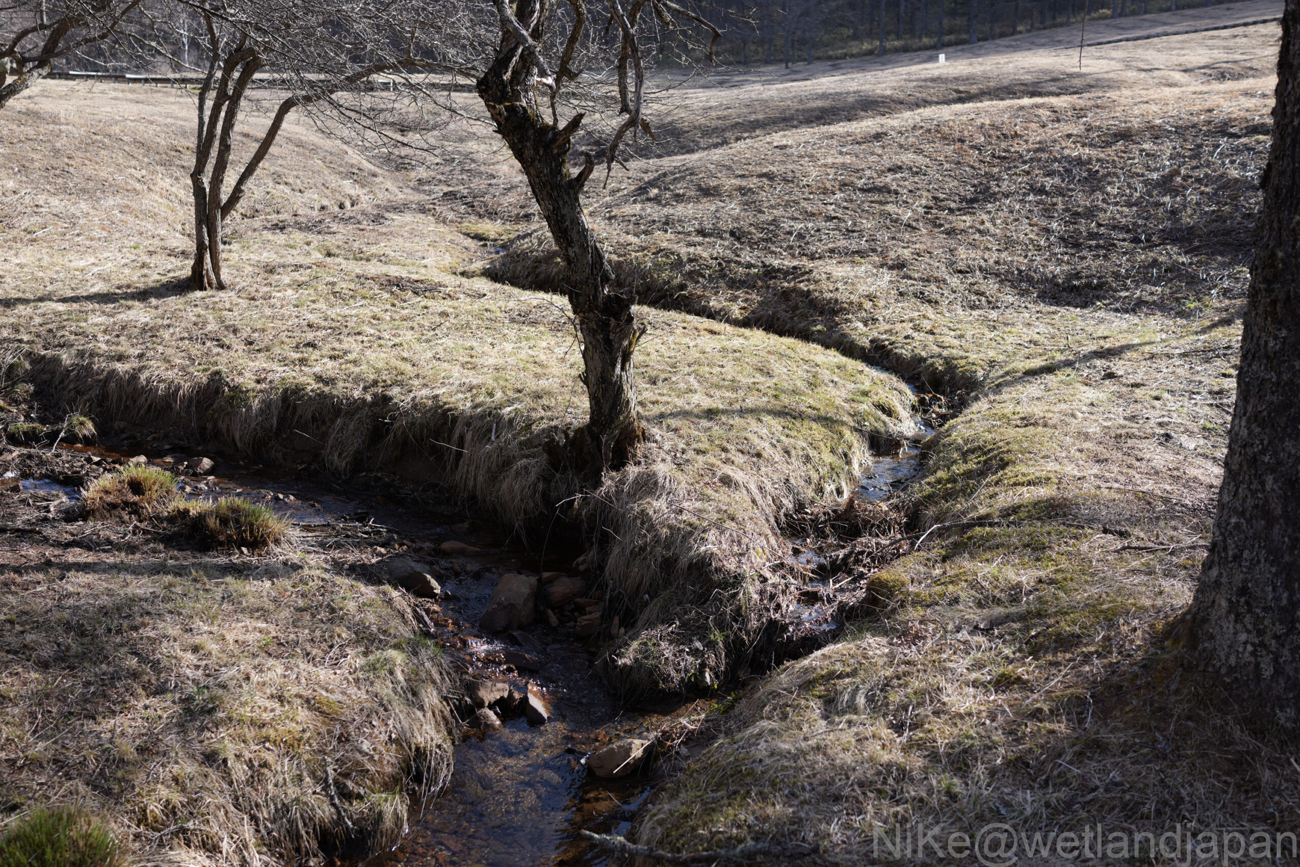
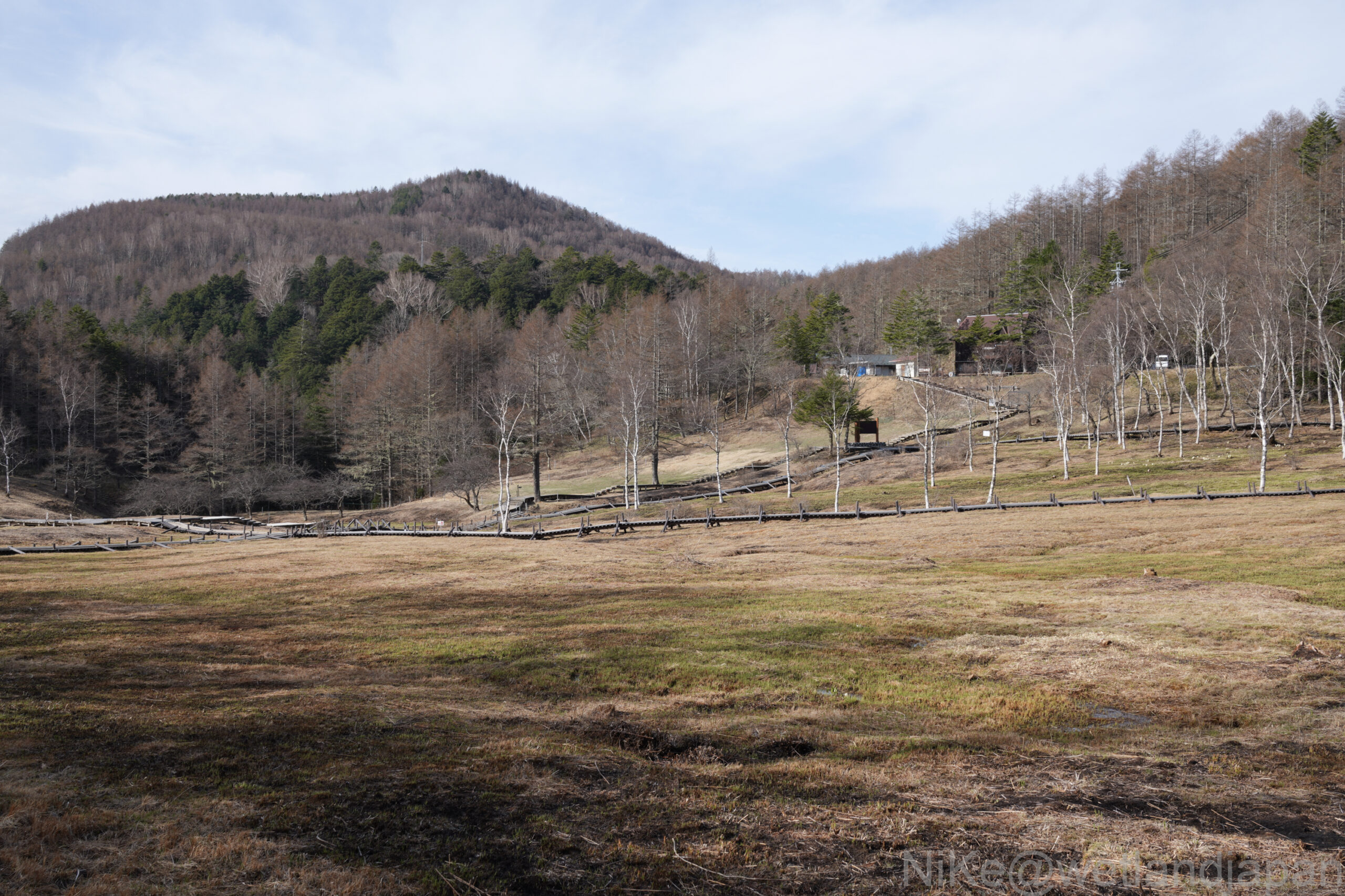
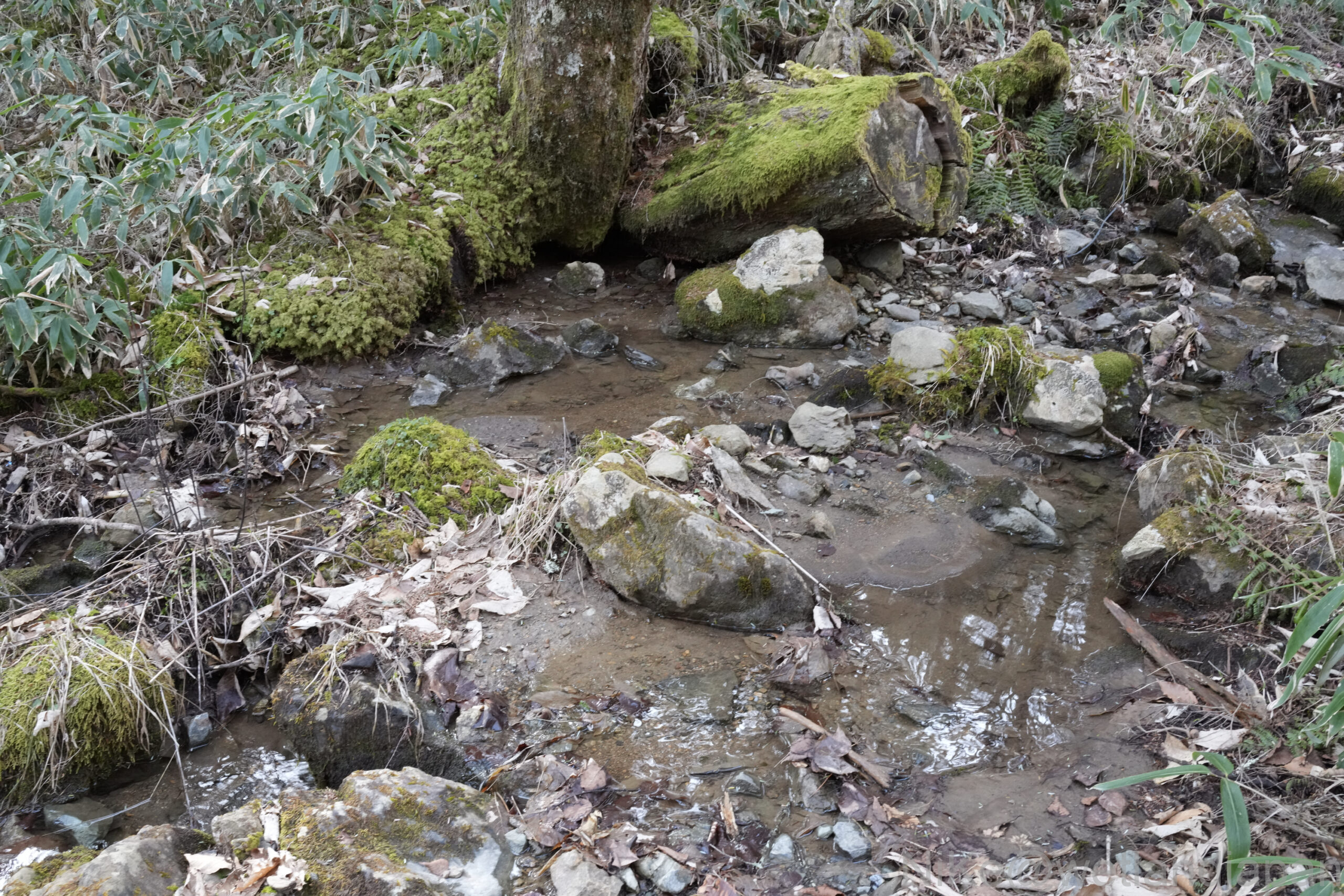
A river flows through the wetland area, and there appears to be plenty of water.
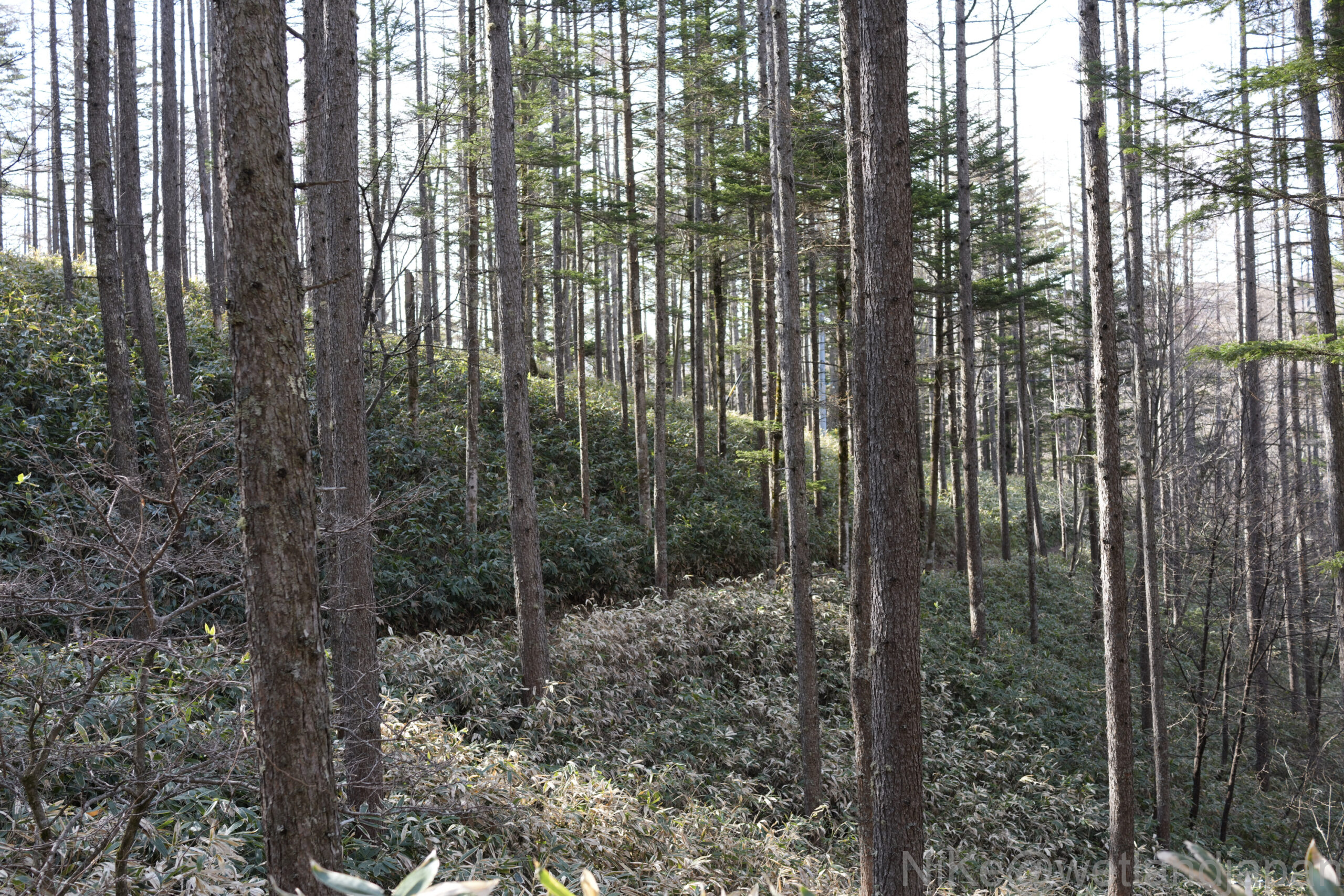
It still looks very much like winter, but the greenery is gradually increasing.
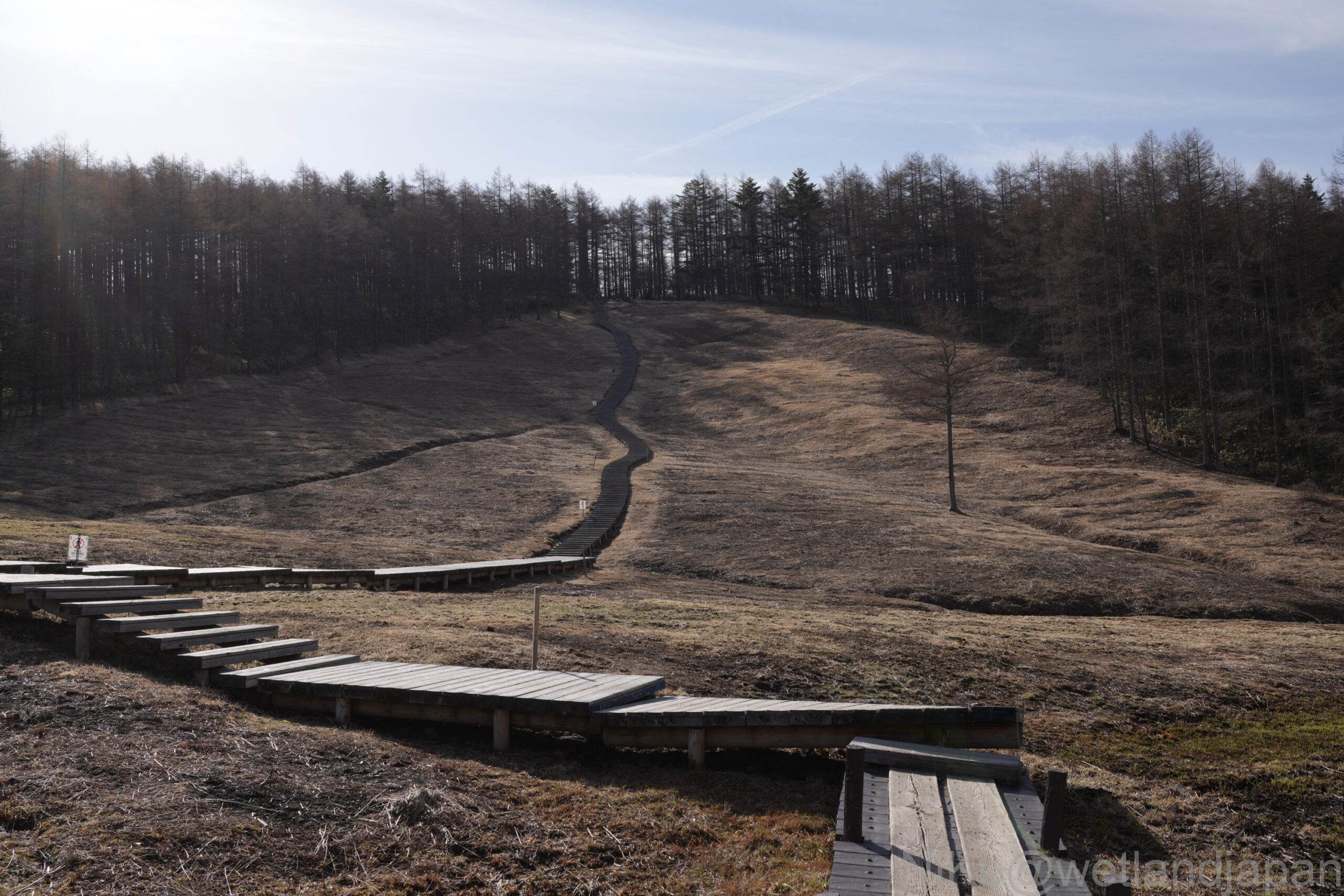
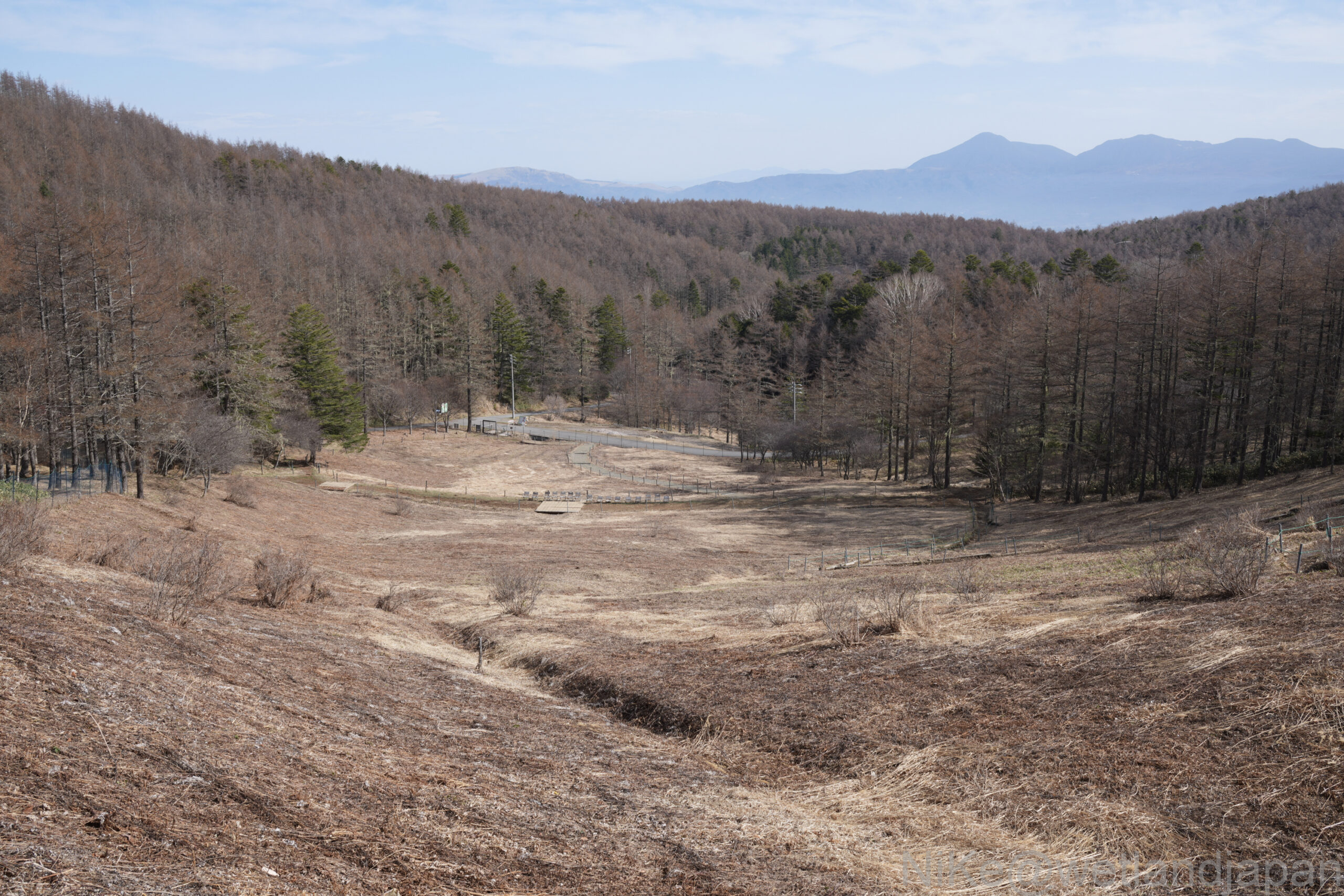
The terrain has more elevation changes than I expected.
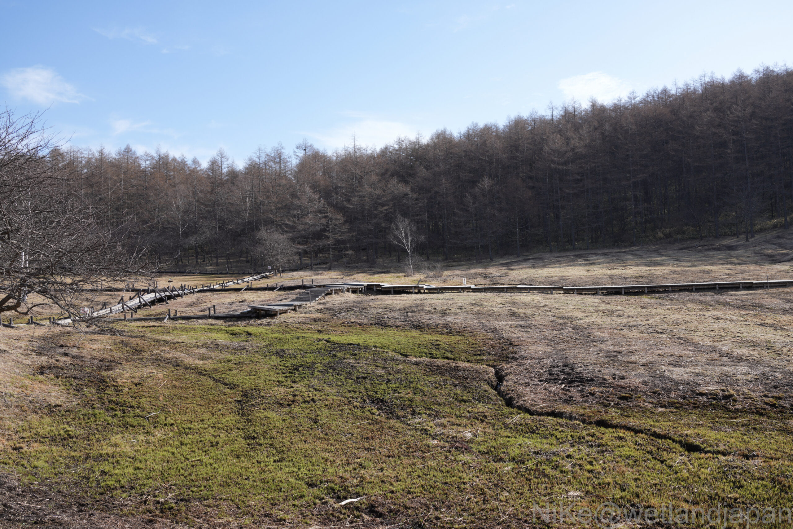
The wetland area is a depression, so perhaps water is gathering there.
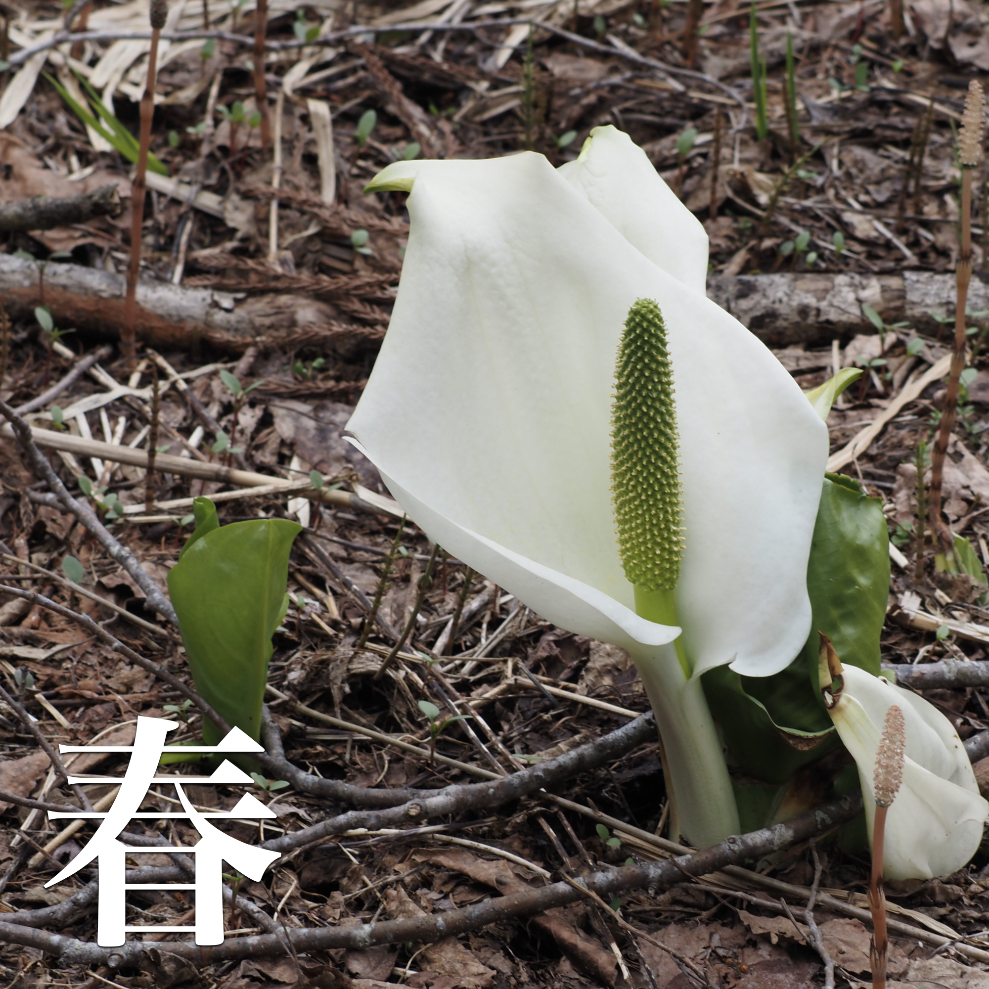
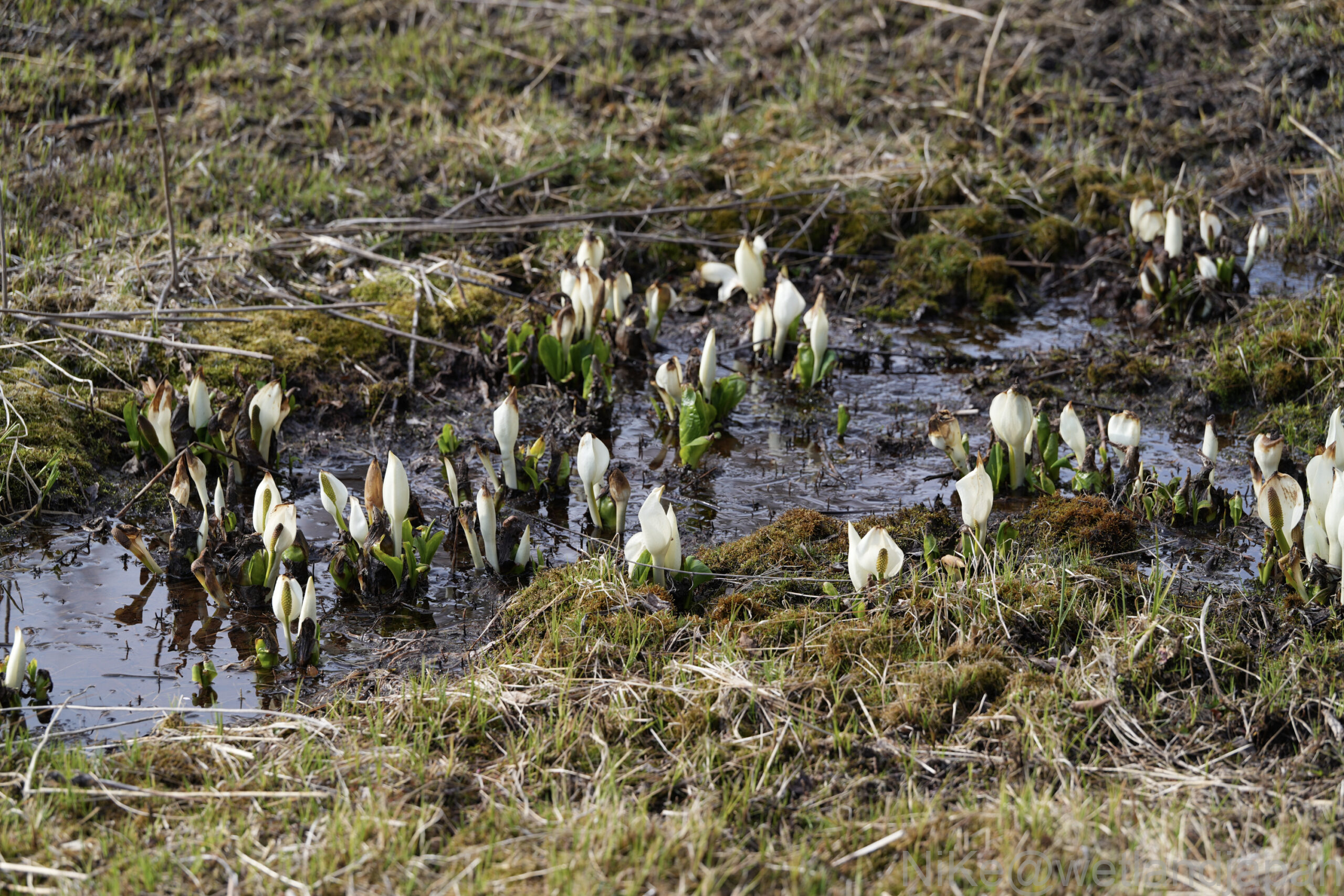
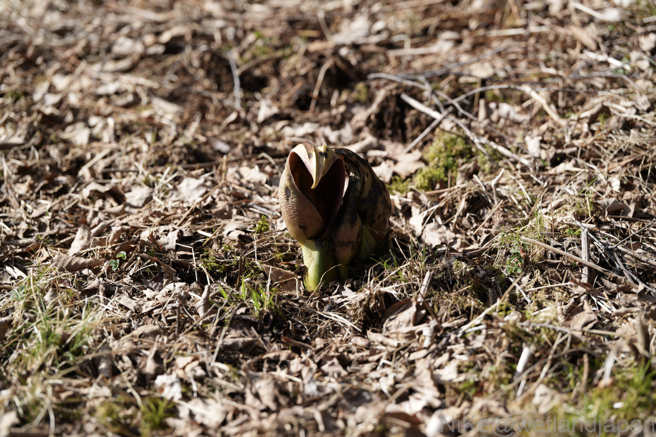
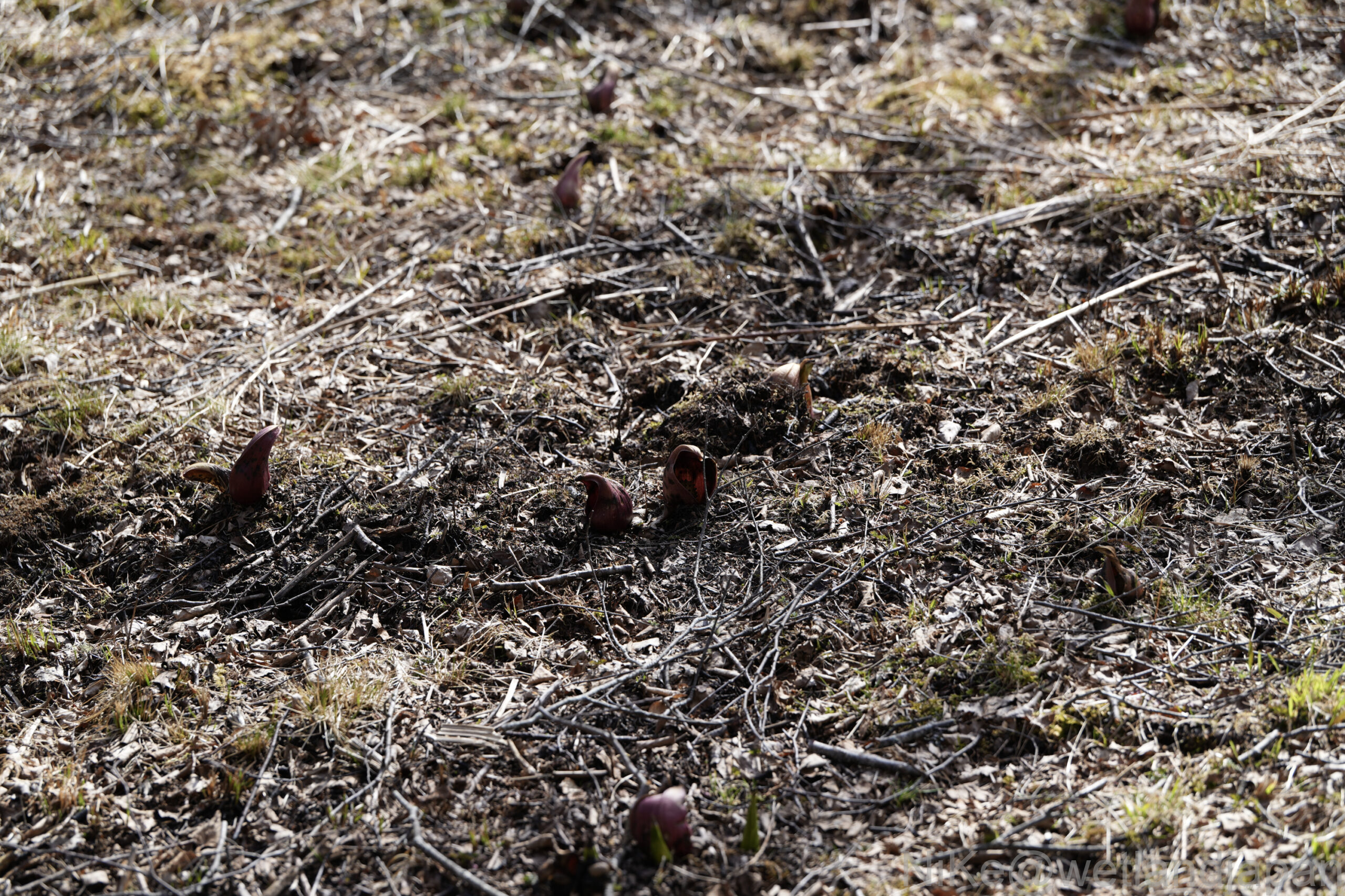
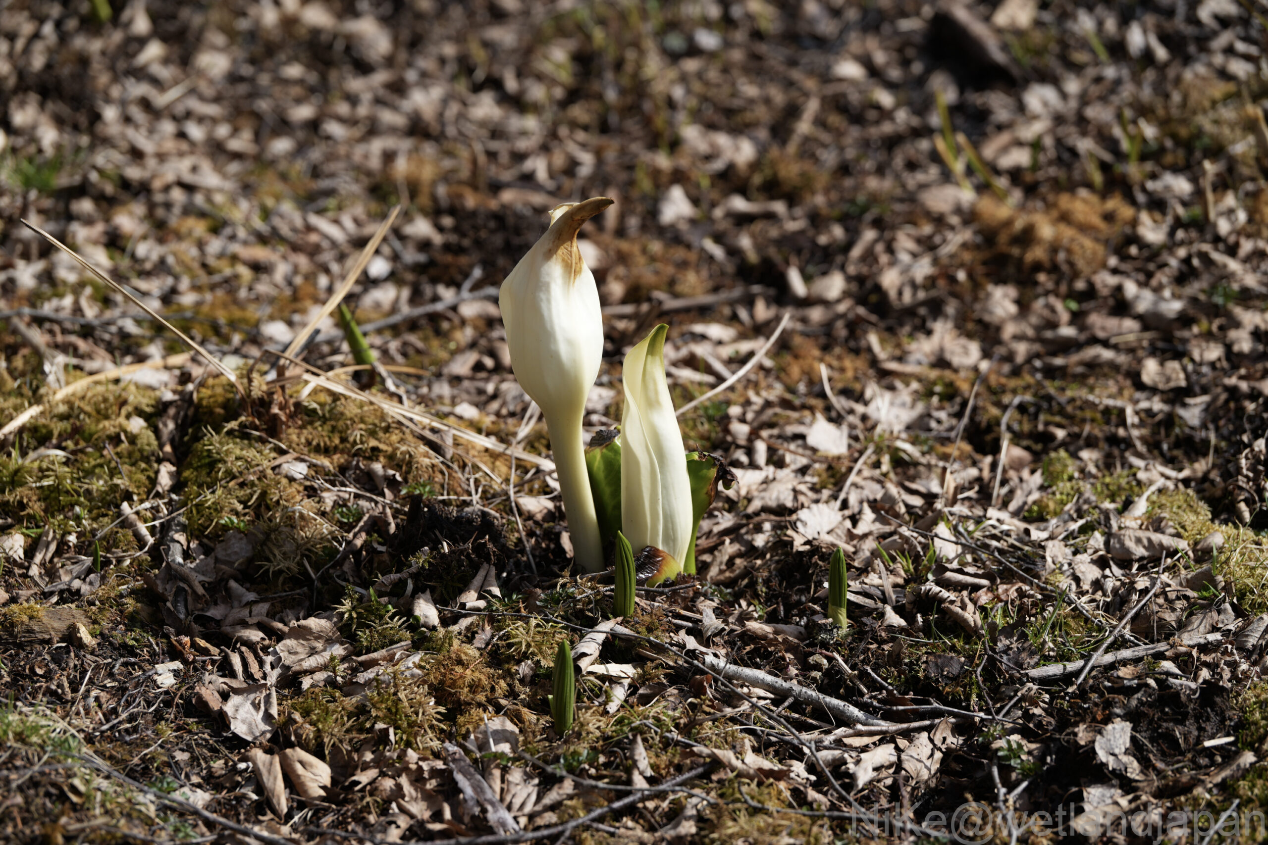
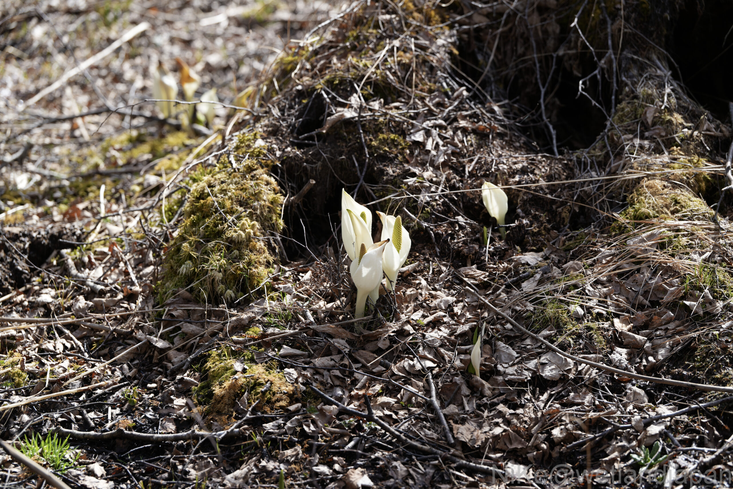
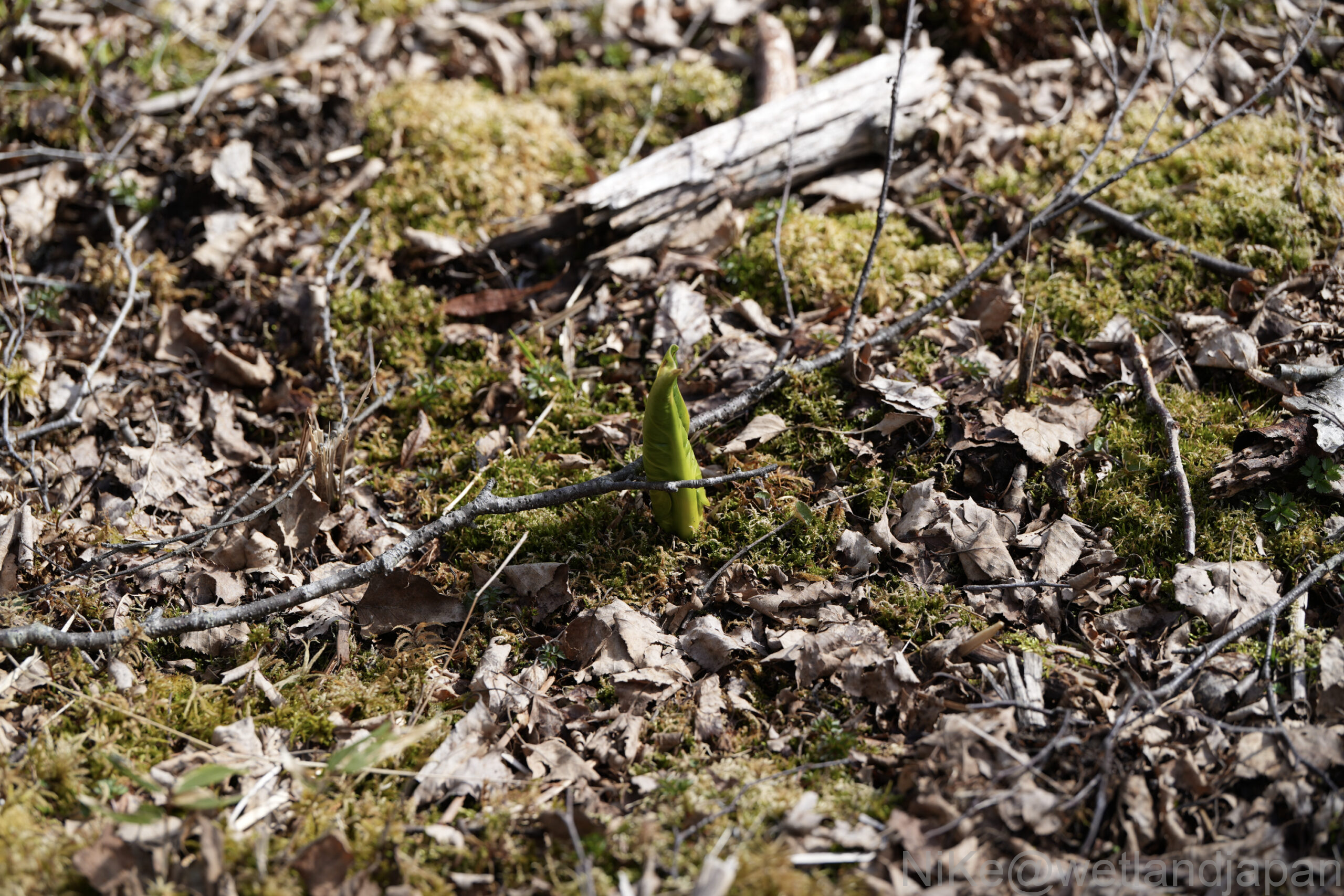
It was the season for skunk cabbage and marsh marigolds.
This one is also small, but it's a Daurian Redstart.
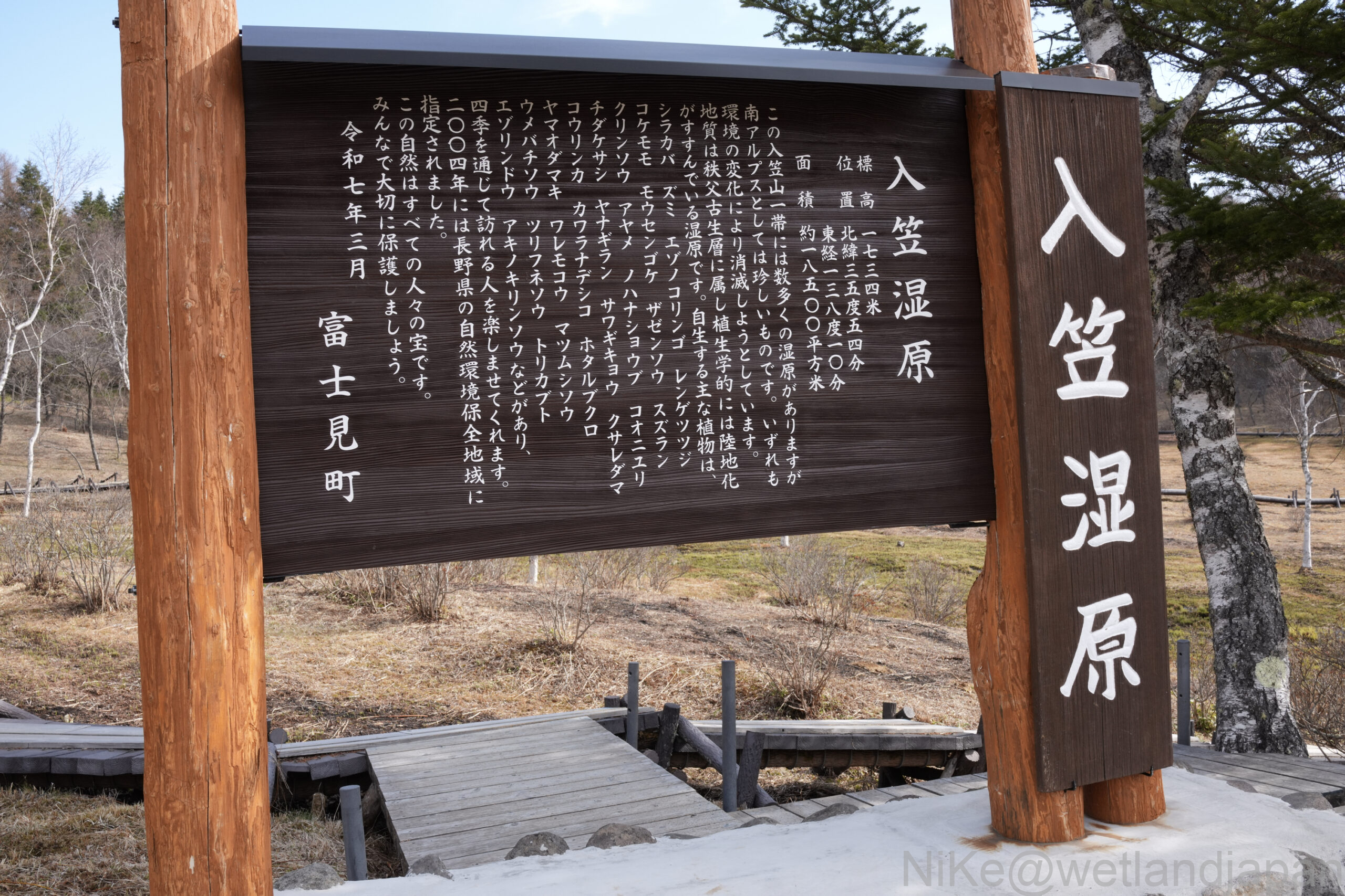
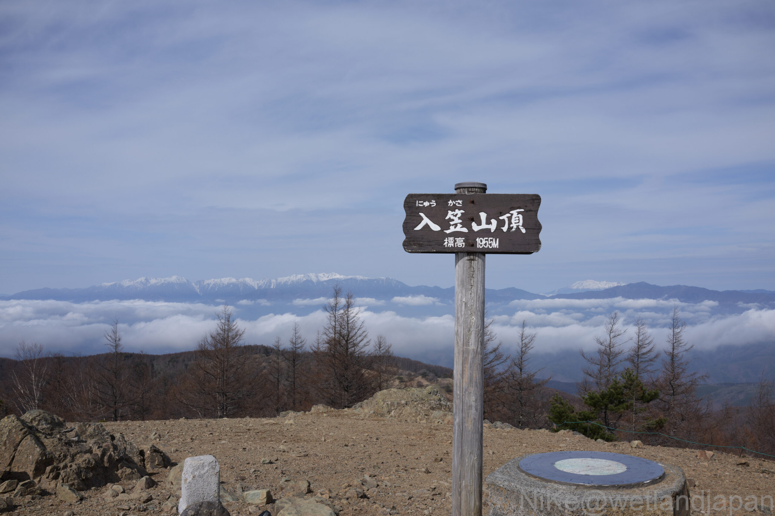
A magnificent sign has been erected.
Unlike many wetlands, the trees here don't appear damaged.
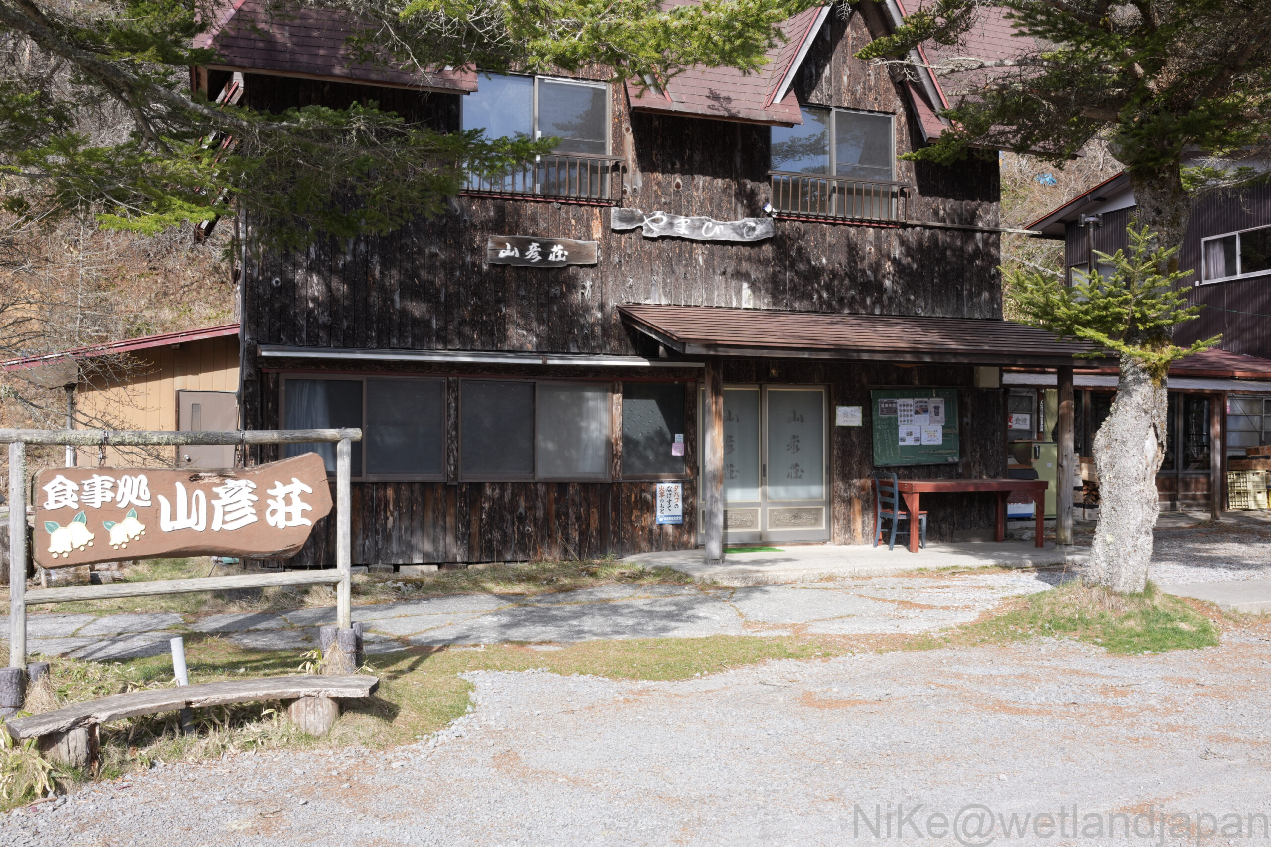
It seems to be the off-season, but there are mountain huts available.
There are rivers and puddles in some places.
Is this because it's the season right after the snow melts?
An unnaturally empty area.
The map shows it as a "flower field," so I wonder if trees and other vegetation have been removed artificially?
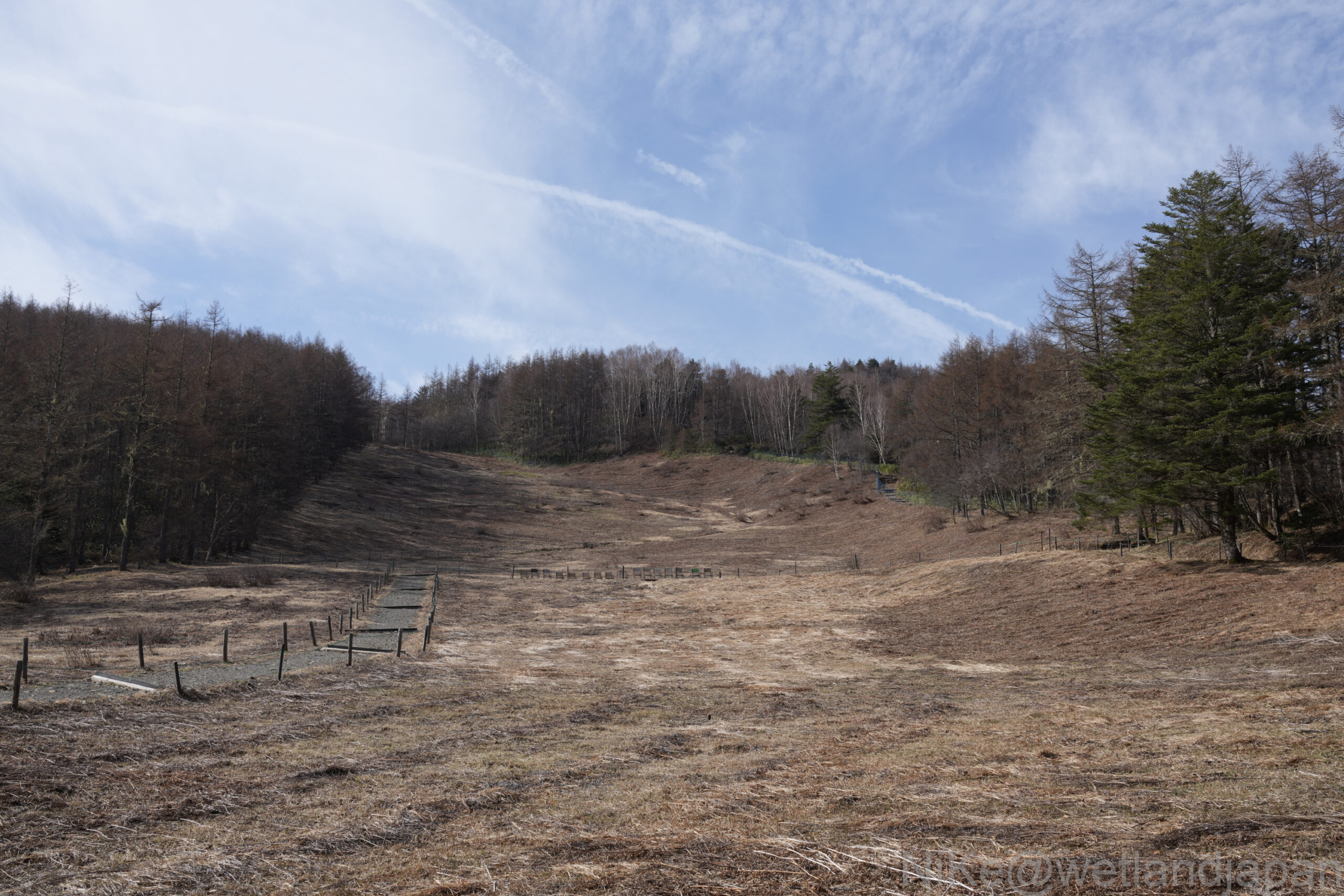
Viewing a flower field from above.
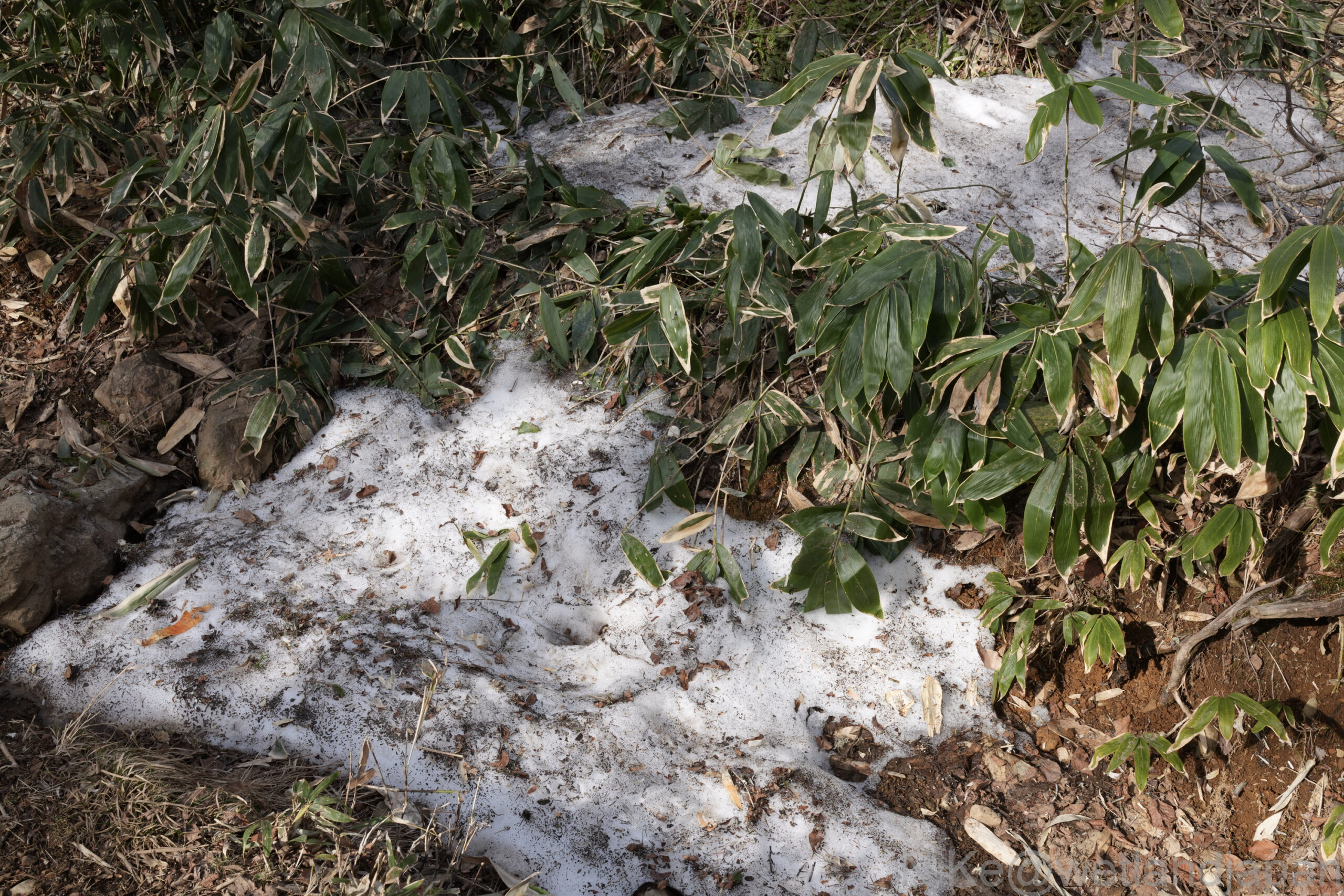
Further up, there was a small patch of remaining snow.
The final sprint.
You can choose from two routes, both leading to the summit.
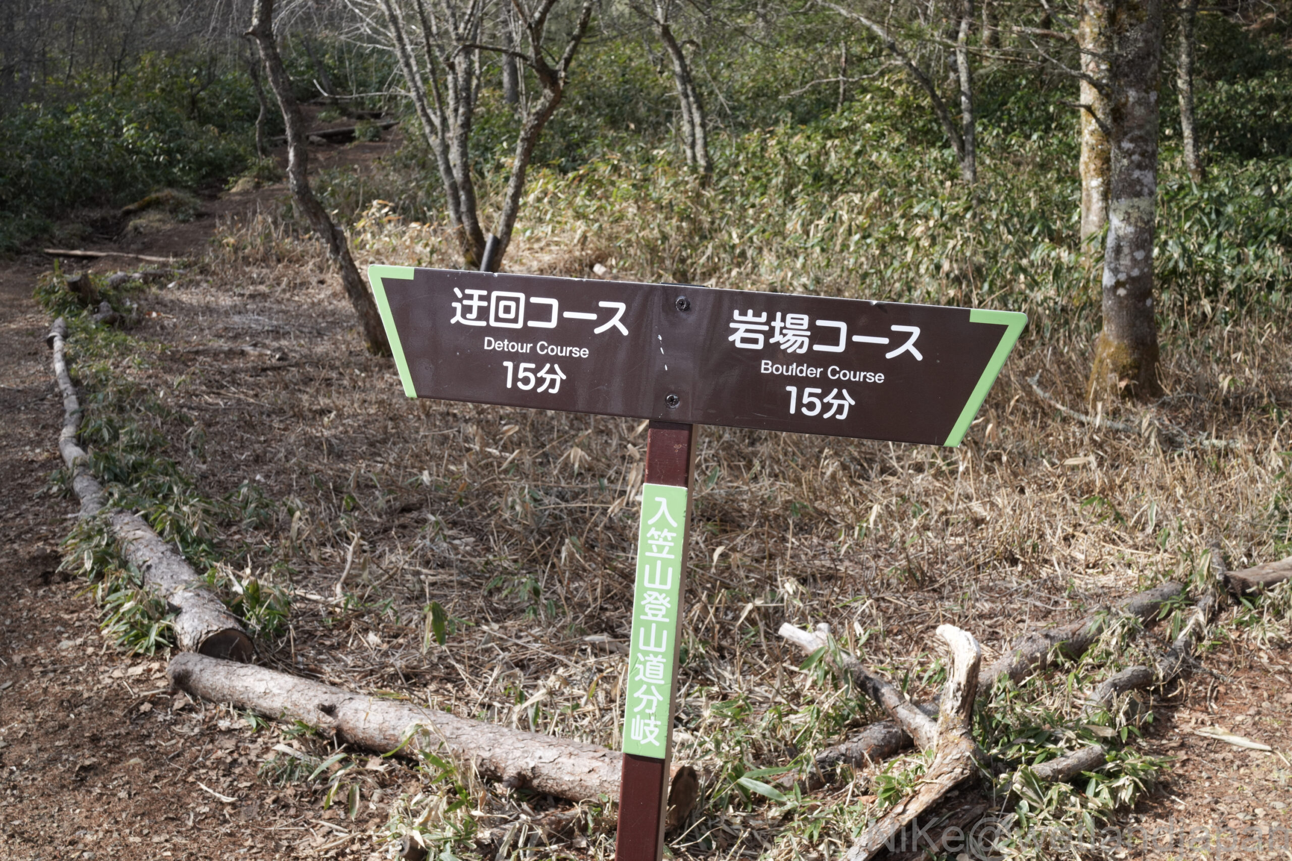
If you choose the rocky course, there are some rocky sections.
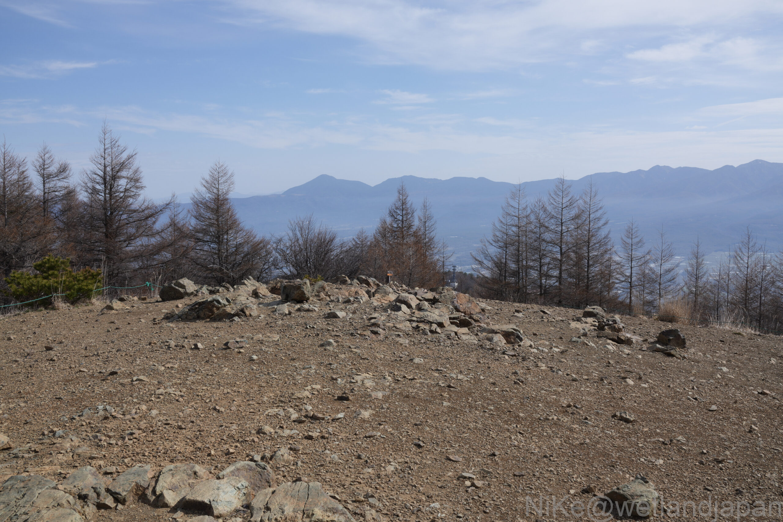
It has a mountainous feel to it, typical of Yamanashi.
A short climb from the previous fork in the path will take you to the summit!
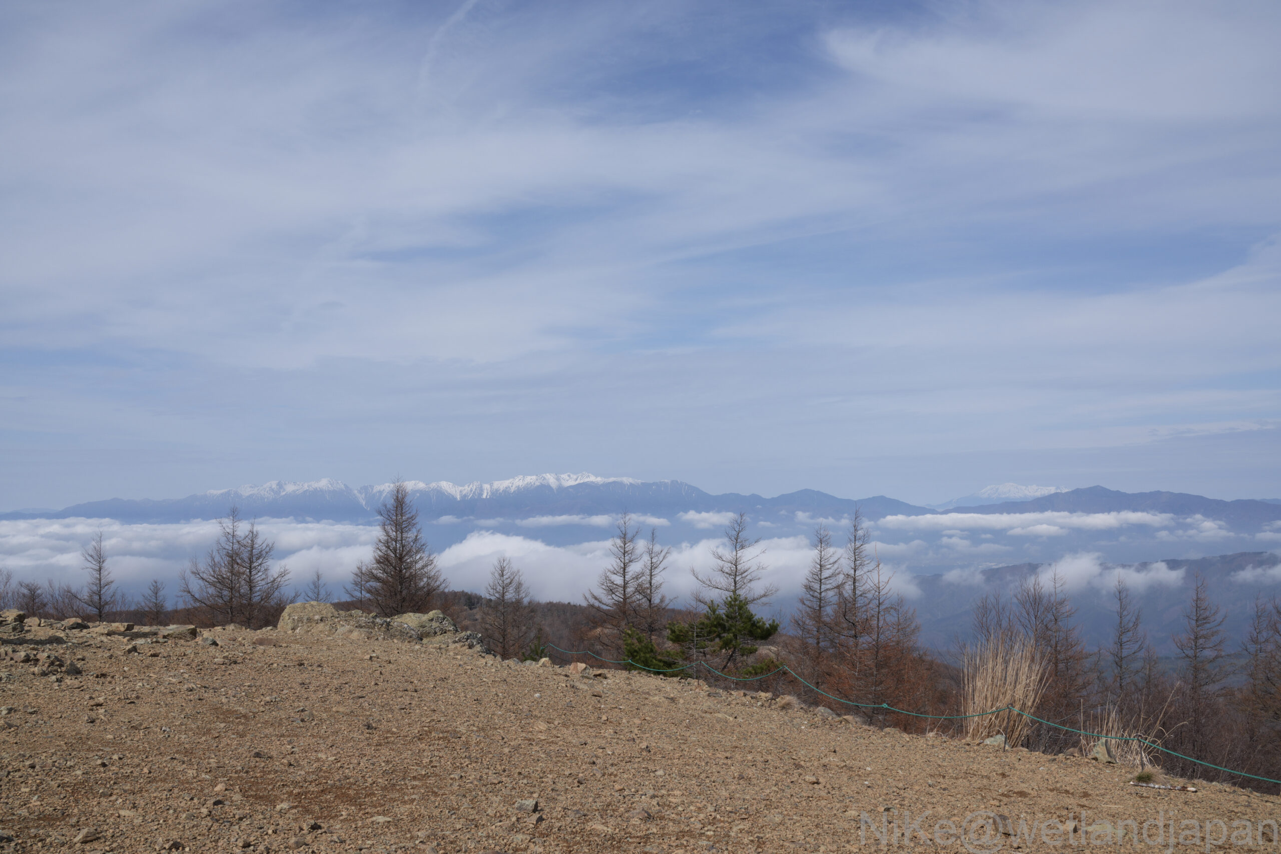
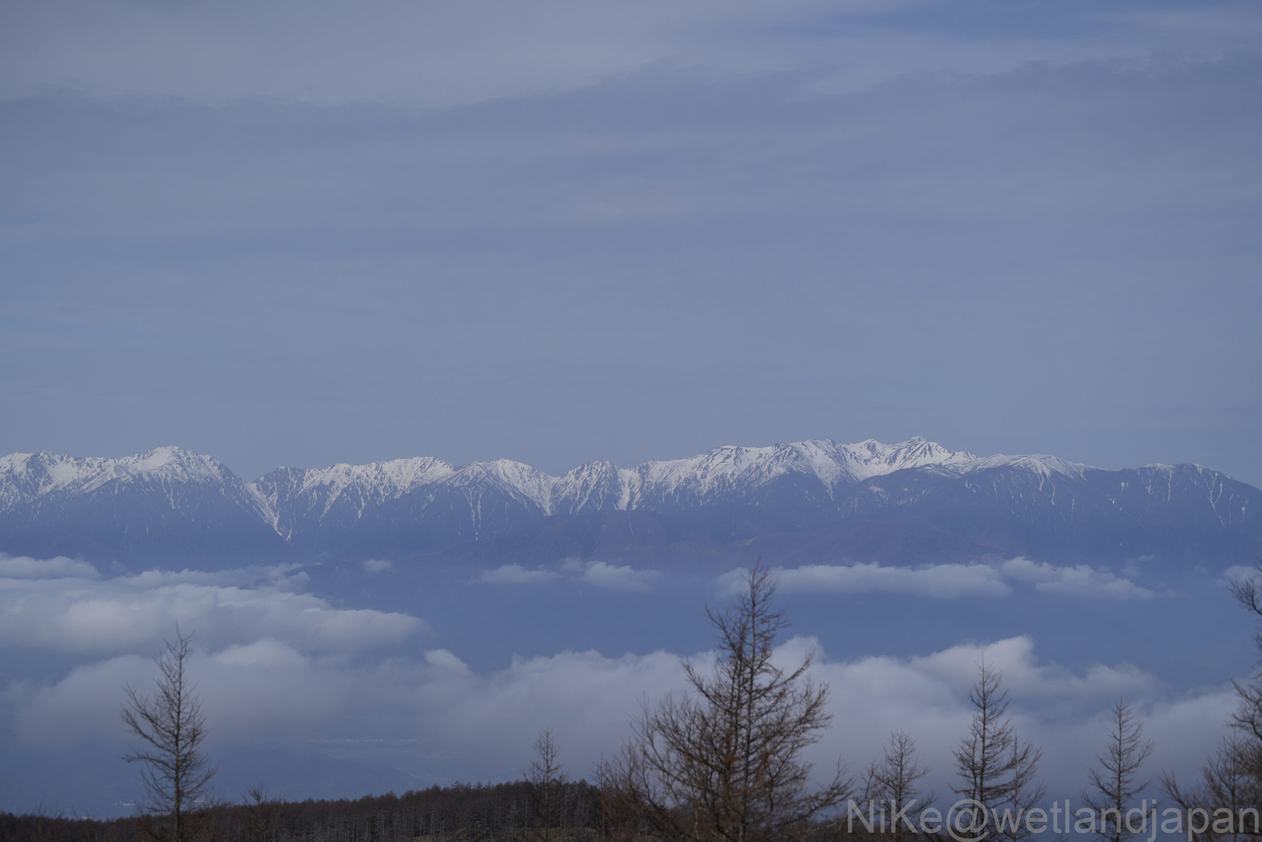
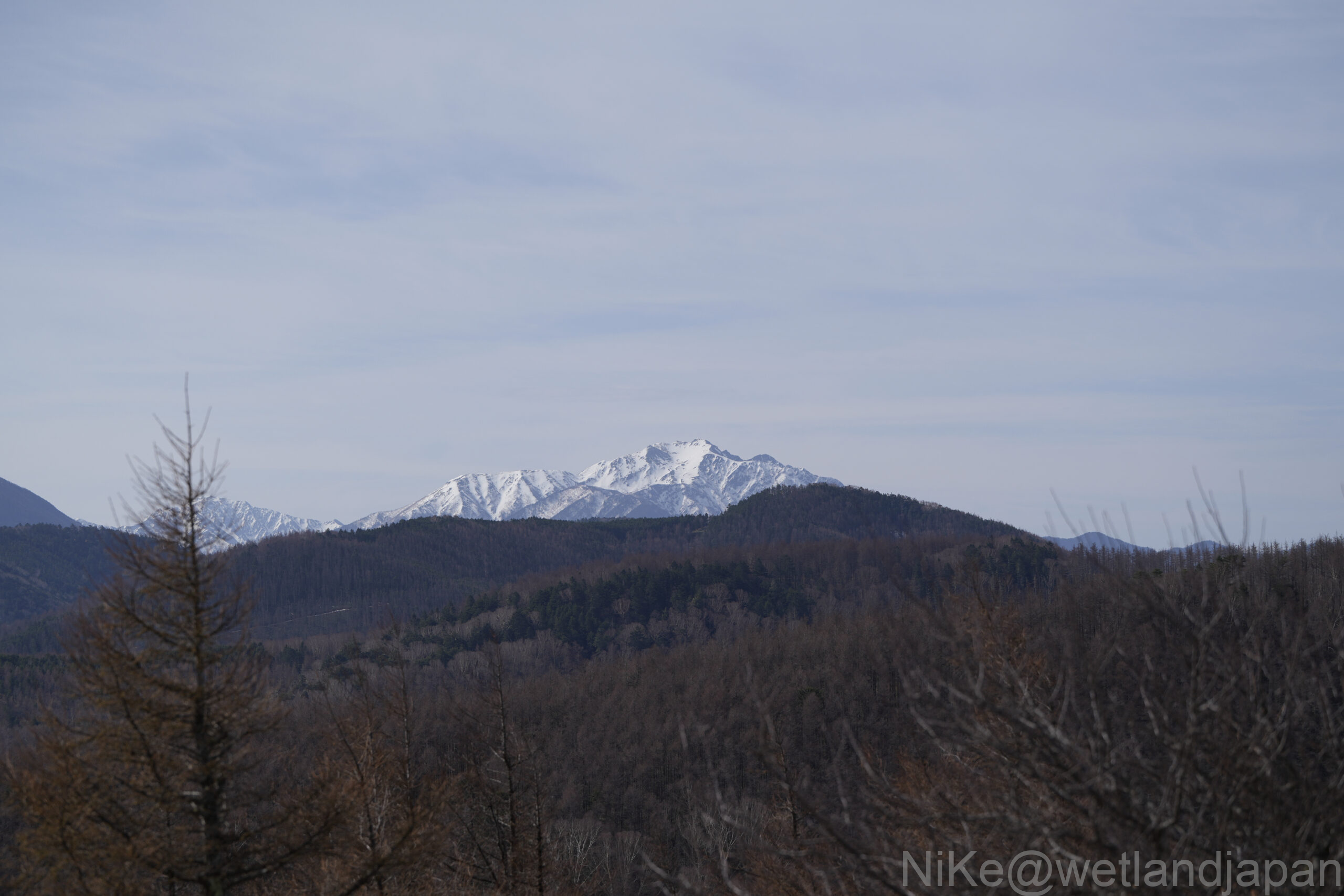
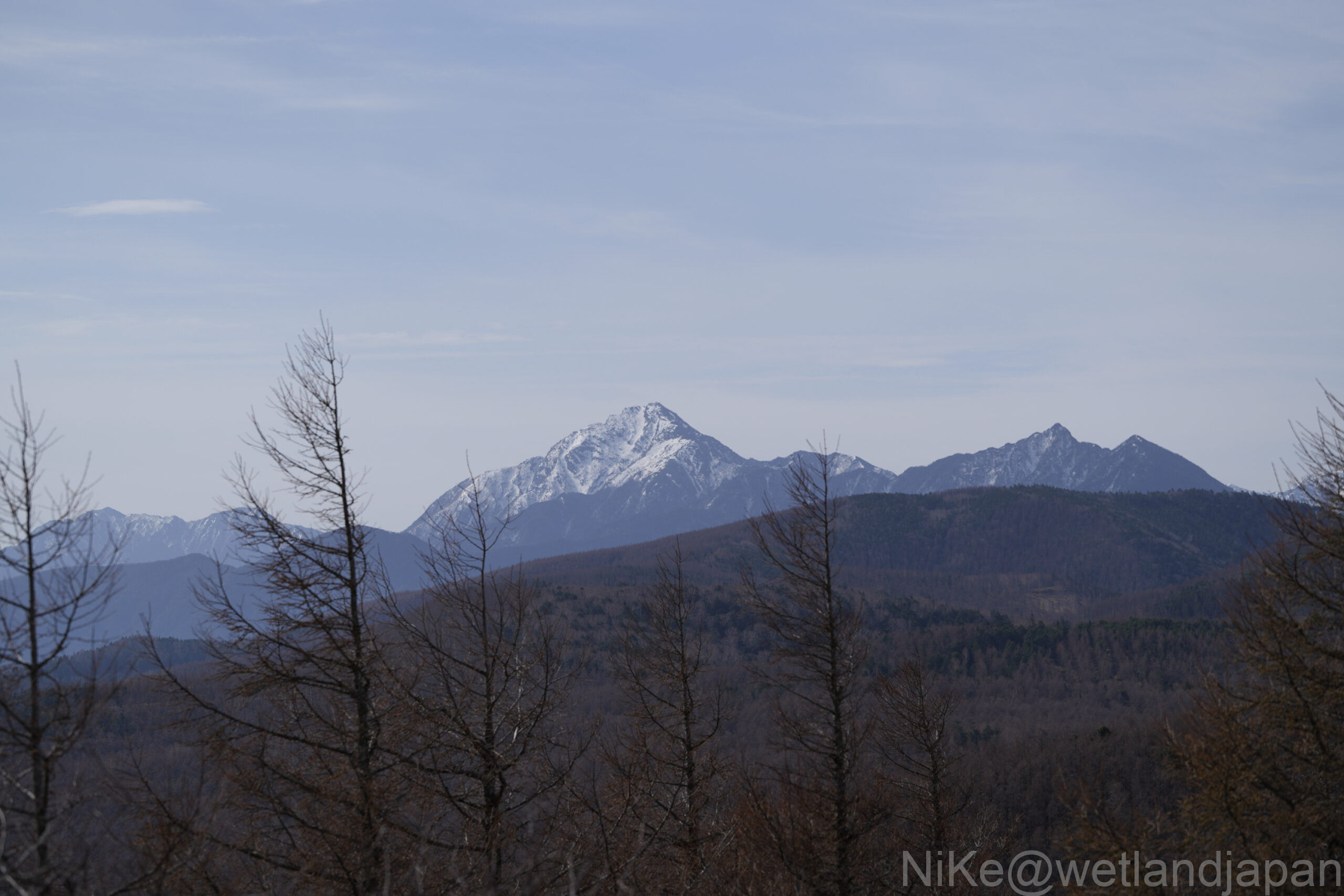
The view is absolutely fantastic.
Perhaps because it was just before the green season, there were hardly any people around.
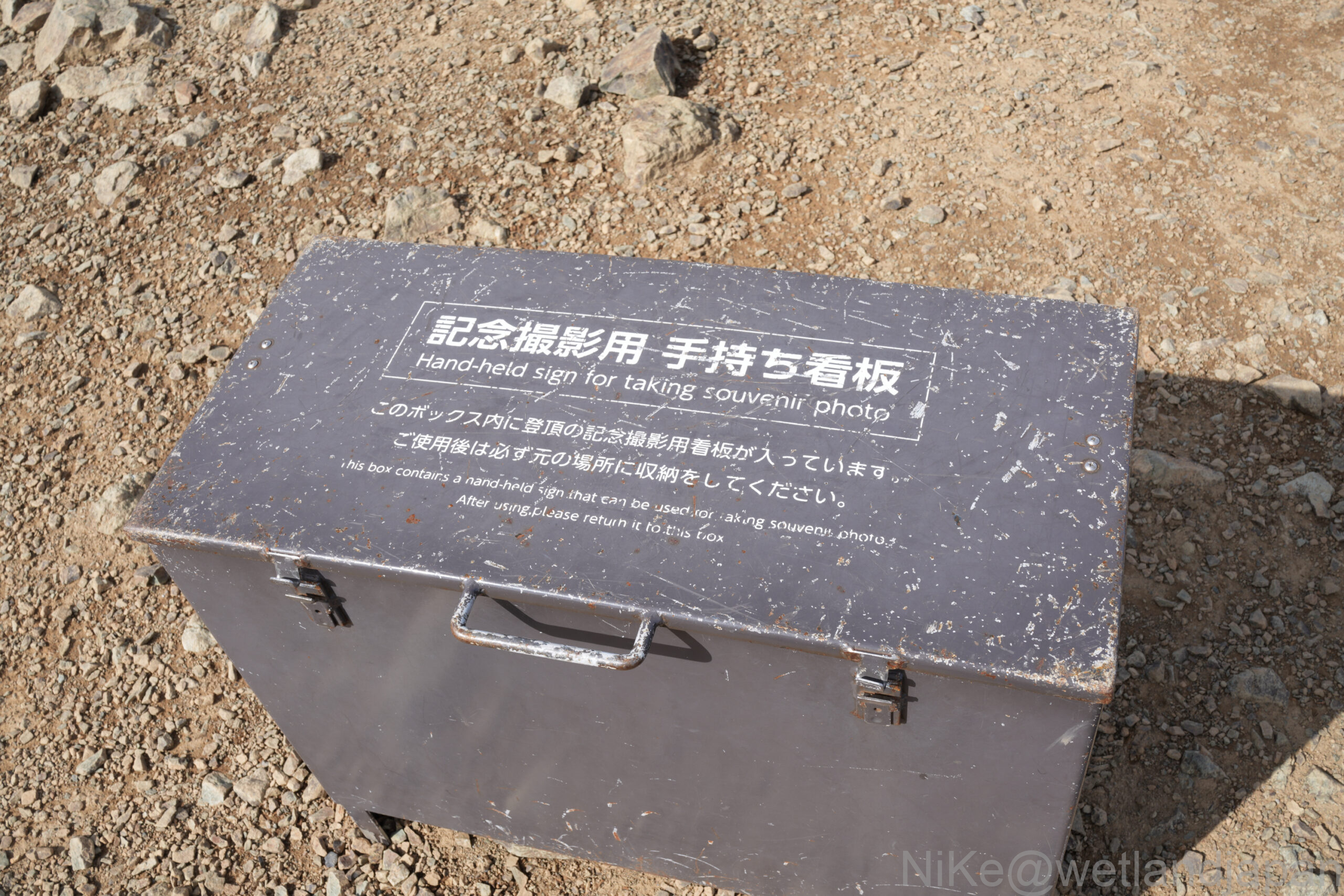
I can't believe they even have something like this.
It feels very much like a tourist spot.
I imagine a lot of people visit during the season.
It tells you the direction and the mountains you can see in each direction.
It's quite easy to understand, so if you visit on a sunny day, it might be interesting to check it out.
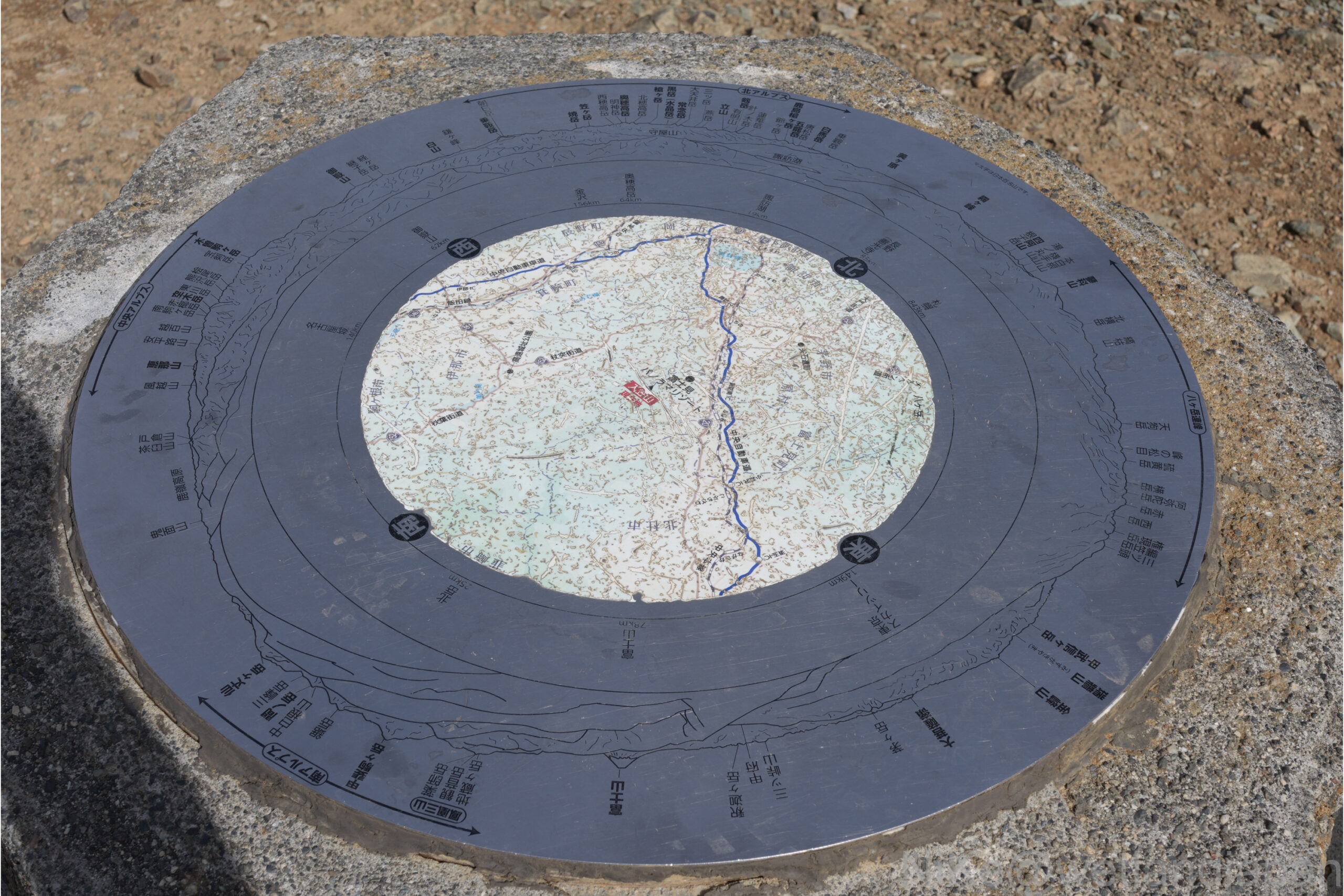
However, even when I look at the actual photos I took, I can't remember which was which at all.
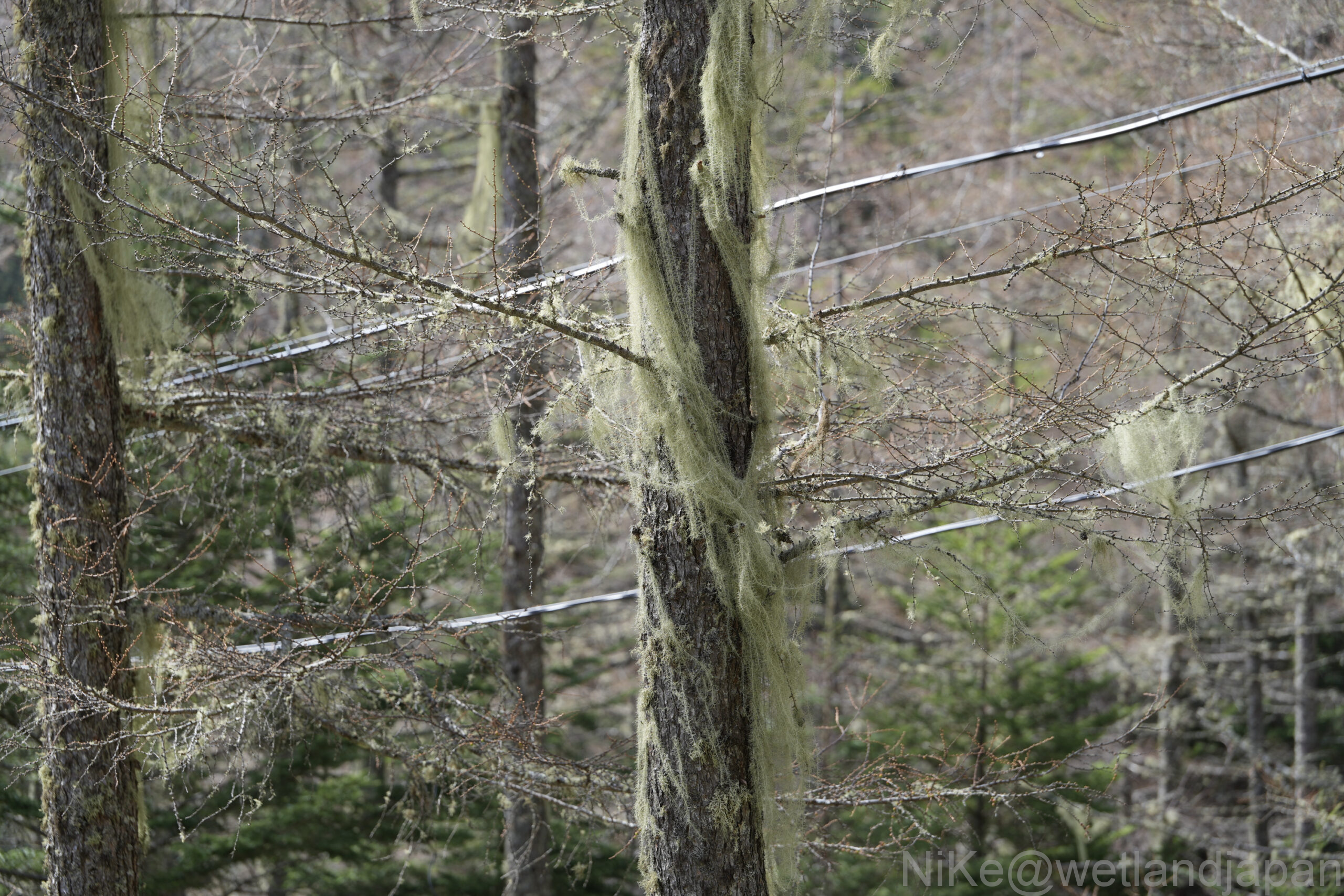
Probably Usnea.
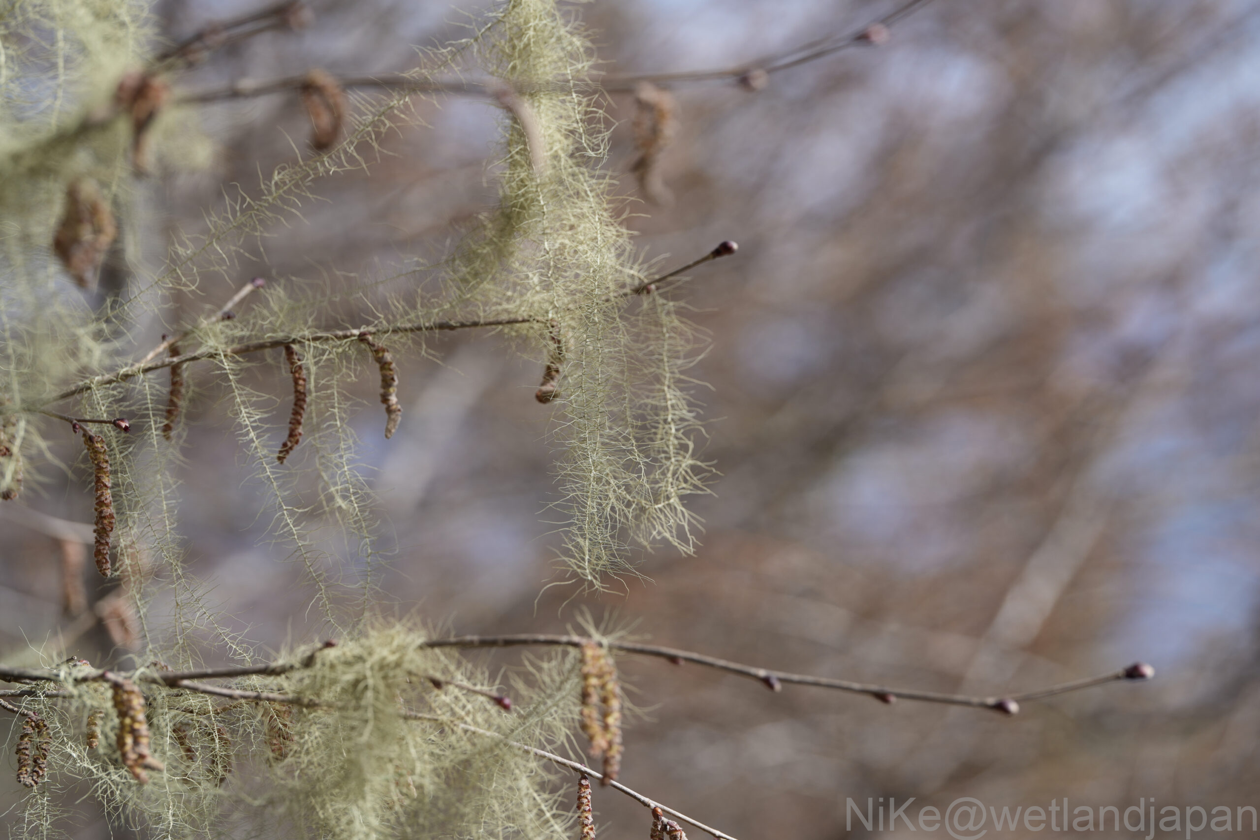
They are wrapped around the trees in such large numbers that it's hard to tell which is the main plant.
summary
It was a mountain that could be easily climbed without using the ropeway.
The wetlands are beautiful, and the topography, with its clear elevation changes, is fascinating.
I'm glad I was able to see the wetlands in peace, as they're likely to be very crowded during the green season.