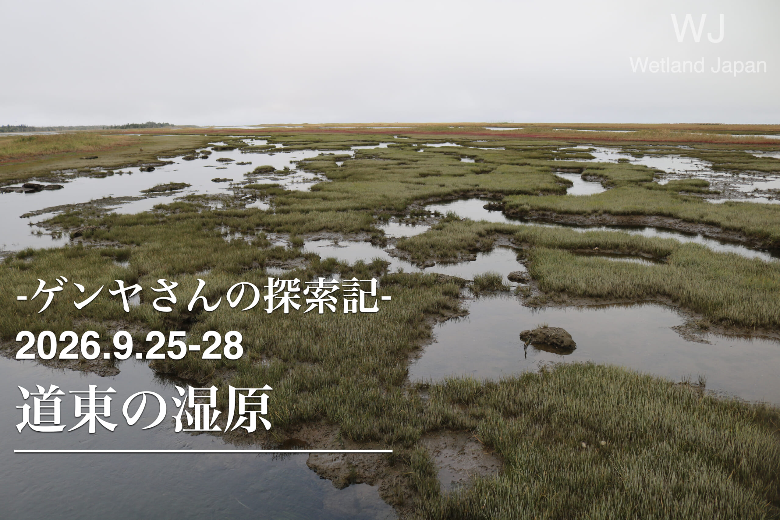
This is a record of a trip through the wetlands of eastern Hokkaido (Kirittapu Wetland, Bekanbeushi Wetland, Notsuke Peninsula, and Shunkokutai Wild Bird Park).
85% of Japan's wetlands are concentrated in Hokkaido, with many found in northern Hokkaido and the Nemuro-Kushiro region of eastern Hokkaido.
In particular, the largest wetlands are Kushiro Marsh, followed by Sarobetsu Plain, Bekanbeushi Marsh, and Kiritappu Marsh. All four of these locations are registered under the Ramsar Convention.
Kushiro and Sarobetsu are national parks, while Bekanbeushi and Kiritappu Marsh are quasi-national parks.
This time, we'll explore the remaining two wetlands, along with the landscapes of sandbars and sand spits.
Both the Bekkanbeushi and Kiritappu wetlands are connected to the sea, but their formation processes differ: Kiritappu was formed by the retreat of the coastline, while the Bekkanbeushi wetland was formed by the continuous accumulation of water along the riverbanks.
The area boasts a diverse landscape, including coastal lagoons, sea cliffs, and offshore islands.
This area is part of the Notsuke Peninsula and Shunkokudai Prefectural Park.
This sandbar or spit was formed by the accumulation of sediment carried by ocean currents. Due to land subsidence and the effects of salt, dead trees can be seen standing, and the Notsuke Peninsula is also known as "the edge of the earth."
All four locations are treasure troves of wild birds and animals, where untouched nature still remains.
September 25th: From Haneda to Kushiro
On the afternoon of September 25th, I boarded a flight from Haneda to Kushiro.
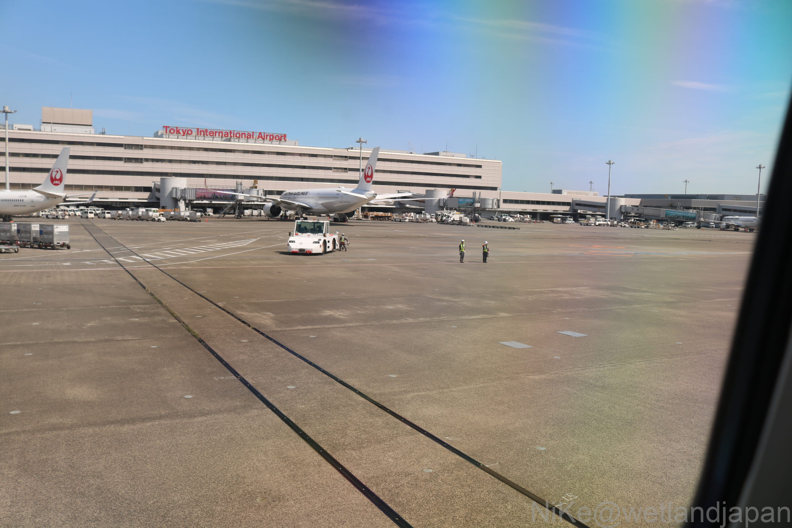
As we took off, the mechanics and ground handling staff waved goodbye. This is known as the "goodbye wave."
This is apparently a scene of people seeing off a train from Japan. The two dots in the center right are maintenance workers waving goodbye.
September 26th: Kiritappu Marsh and Bekanbeushi Marsh
The coastline leading to the Namida Cape Observatory
On the 26th, I crossed the bridge from Akkeshi and headed to Namida Cape Observatory via Prefectural Road 123, which runs along the coast.
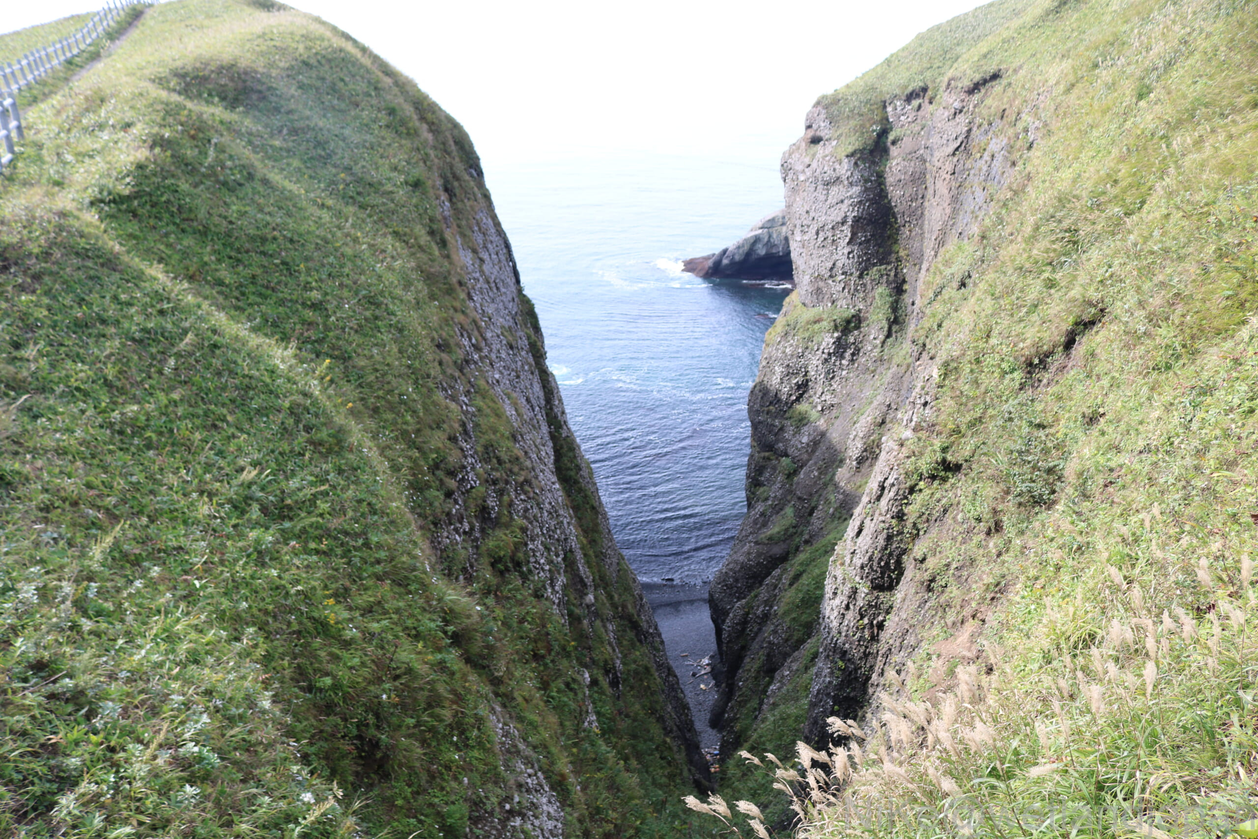
Along the way, you can see sea cliffs made up of ancient geological strata formed approximately 70 million years ago.
At that time, this region was located deep underwater, and a massive underwater landslide caused a large-scale sediment flow (turbidity current) that accumulated to a thickness of tens of meters.
These deposits were compacted over long periods of time, forming extremely hard bedrock of conglomerate and sandstone.
This sturdy bedrock, once located on the seabed, was uplifted by crustal movements such as plate tectonics and massive earthquakes, forming coastal terraces (plateaus) around present-day Kiritappu.
Subsequently, erosion by seawater progressed, but the hard bedrock did not form gentle slopes. Instead, deep inlets and sea cliffs reaching nearly 100 meters in height were created.
View of the Kiritappu Marsh from Biwase Observatory
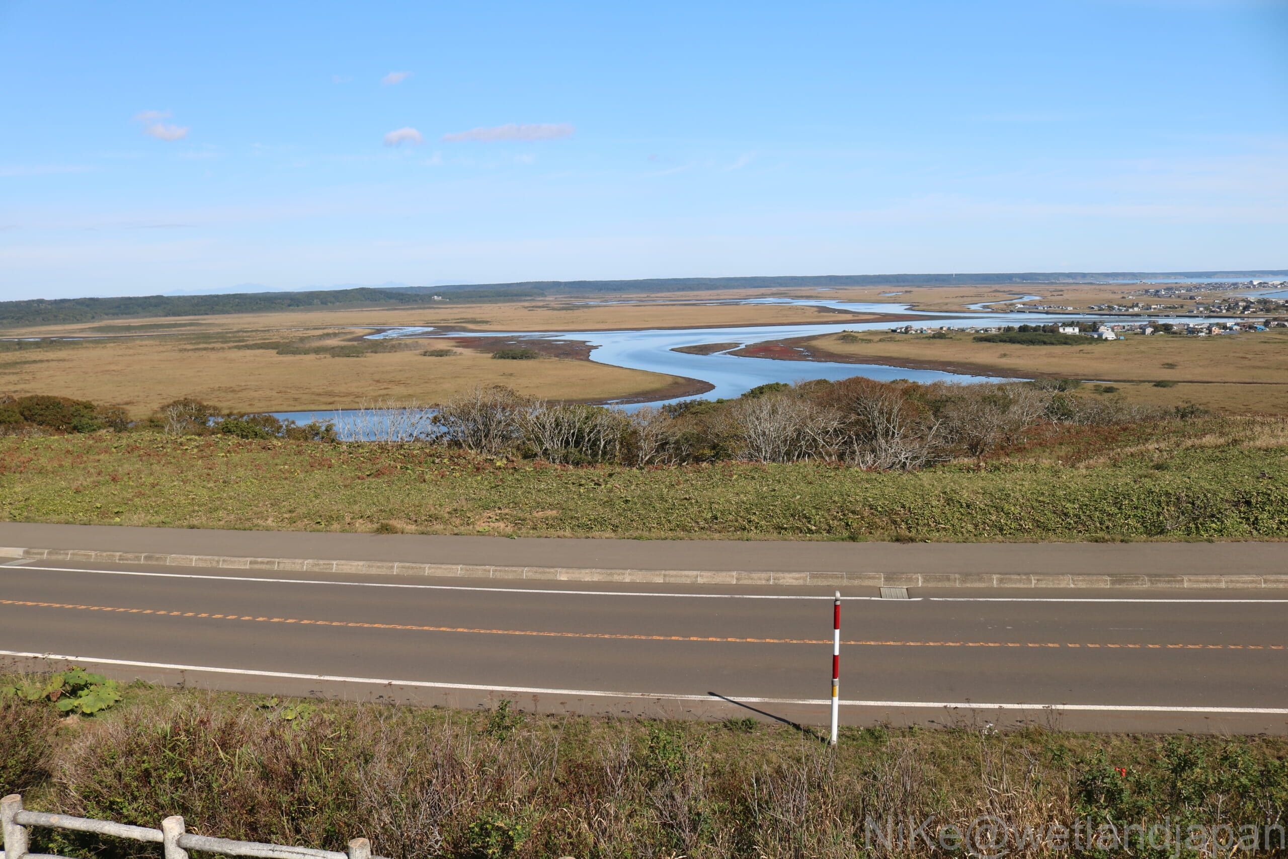
I enjoyed the view of the Kiritappu Marsh from the Biwase Observatory.
Because the observation deck is located on a slightly elevated spot, you can enjoy a 360-degree panoramic view of the Kiritappu Marshland stretching out below, with the Biwase River meandering through it. If you shift your gaze, you can also see the Pacific Ocean.
The observation deck is located on the south side of the wetland and is equipped with wooden walkways and other facilities.
On the other hand, there are many swamps on the northwest side, some of which are designated as a national natural monument, the "Kirittapu Peat-forming Plant Community."
Approximately 6,000 years ago, this region was an inland sea. Subsequently, sandbars and dunes developed along the coast, and coupled with a drop in sea level, land was formed.
Plants took root there, and as dead plants accumulated, forming peat layers, the area gradually transformed into the wetland we see today.
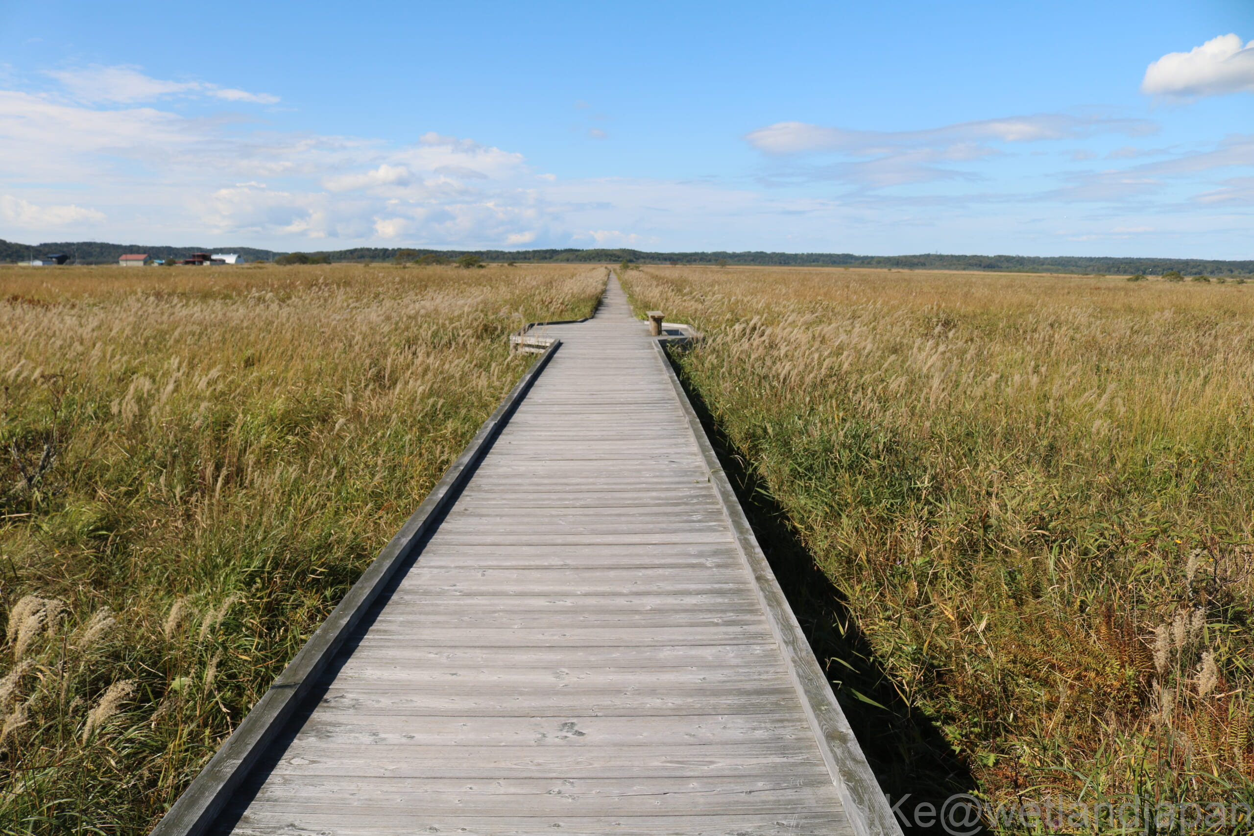
Biwase Wooden Road
Beyond the Biwase Bridge, there is a walking path approximately 500 meters long that leads from the national highway down to Dorogawa.
The first half of the trail is a wooden boardwalk, while the section leading to the muddy river in the second half is a path covered with wood chips.
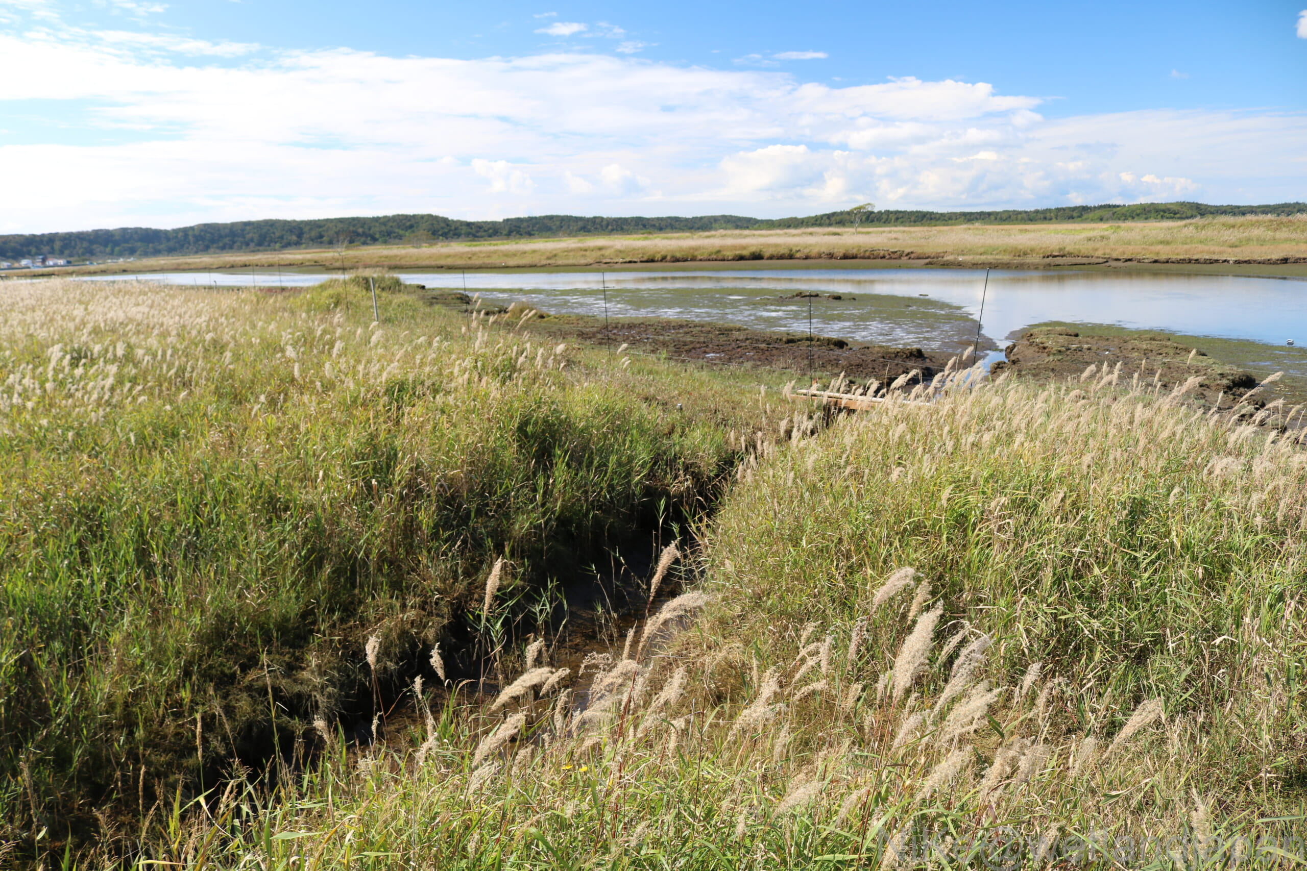
I visited in late September, and although the flowering season was already over, reeds and sedges were growing profusely.
Yachibozu boardwalk
Behind the Kiritappu Marshland Nature Center, there is a boardwalk approximately 250 meters long.
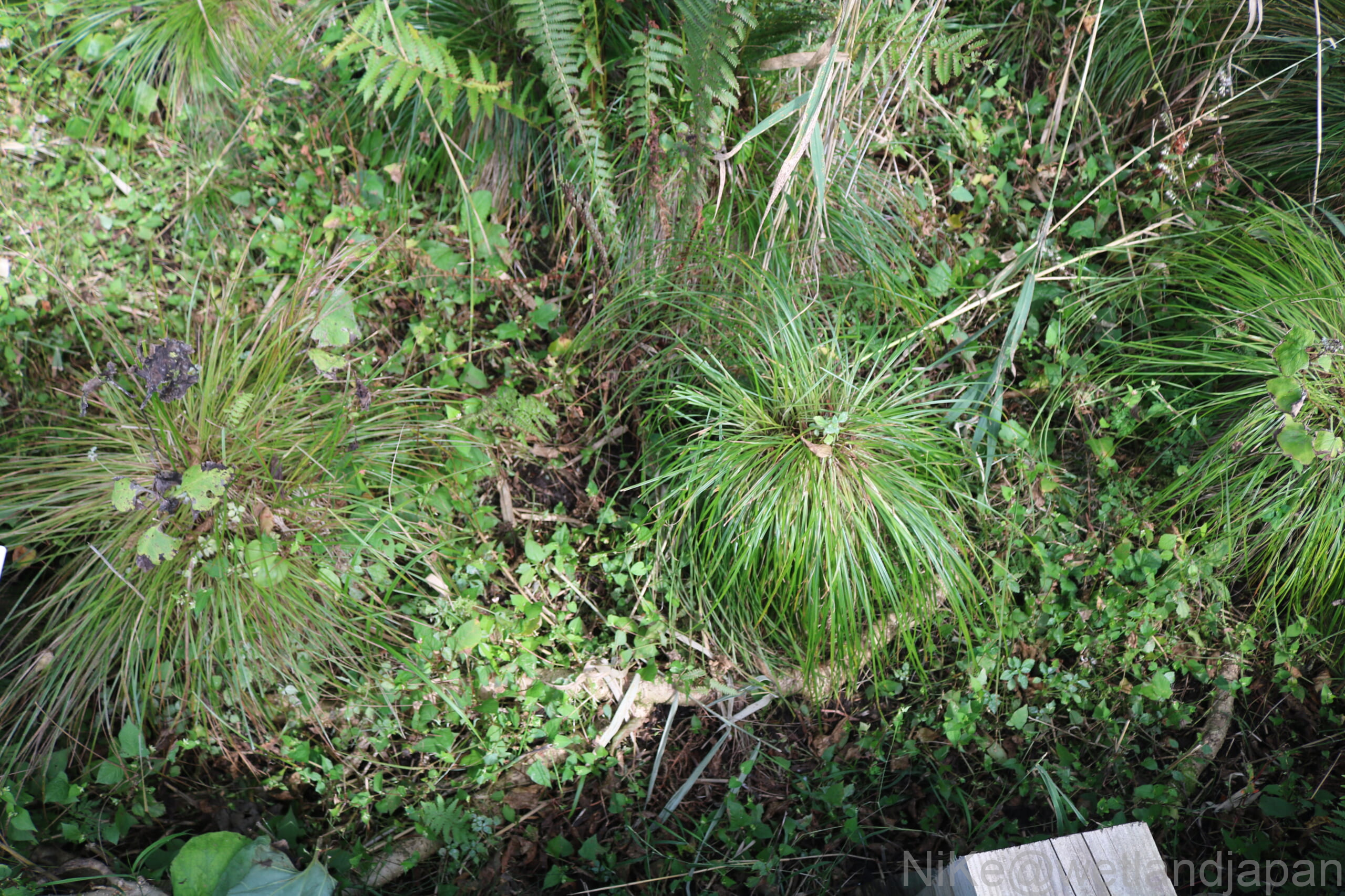
This is a walking course where you can observe "yachibozu," large clumps of densely growing sedges such as Carex pedunculosa, up close.
Bekkanbeushi Marshland
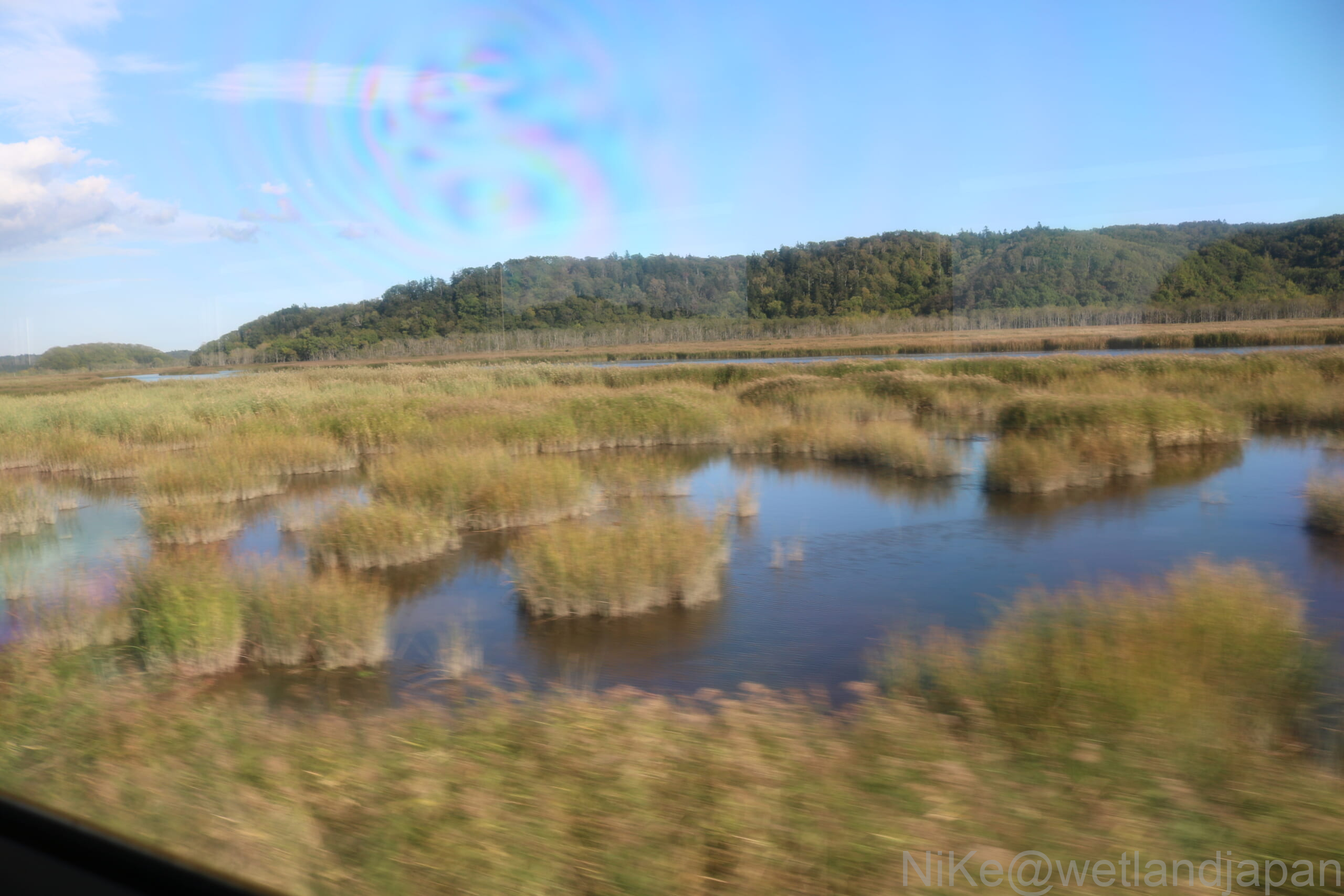
The Bekanbeushi Marshland is about 1.3 times the size of the area inside the Yamanote Line in Tokyo.
In addition to the main stream of the Bekkanbeushi River, wetlands have developed along the tributaries that spread out in a network-like pattern through the mountains, resulting in a very complex shape. Because it is impossible to see the entire area at once, it is difficult to grasp its actual size.
Most of the wetland is a typical lowland bog, with communities of reeds, sedges, and alder trees. Herbaceous plants such as reeds and rock jasmine are also widely distributed.
On the other hand, raised bogs have developed in the alluvial lowlands surrounded by the main stream of the Bekanbeushi River and its tributary, the Torabetsu River.
September 27th, Notsuke Peninsula
The Notsuke Peninsula is a sand spit approximately 26 km long, located between the Nemuro Peninsula and the Shiretoko Peninsula.
It was formed by the accumulation of sand and other materials carried by ocean currents, and has taken on its current form over the past 4,000 years.
Currently, the entire peninsula is subsiding at a rate of approximately 1.5 cm per year due to surrounding crustal movements, and it is said that there is a possibility that it may disappear in the near future. (Source: Wikipedia "Notsuke Peninsula")
However, it seems that goods were traded via the Notsuke Peninsula until the Edo period. (Source: Hokkaido Magazine "Kai," "Notsuke Peninsula, a Gateway to the World")
Currently, there are some houses at the base of the peninsula, but other than that, there is only the Notsuke Peninsula Nature Center, a materials storage area, and a lighthouse.
The map shows vast areas of wasteland, tidal flats, and wetlands, and seagrass is also distributed in these areas.
The standing dead trees had been swept away by the waves, and the remaining dead trees had been gathered and placed there.
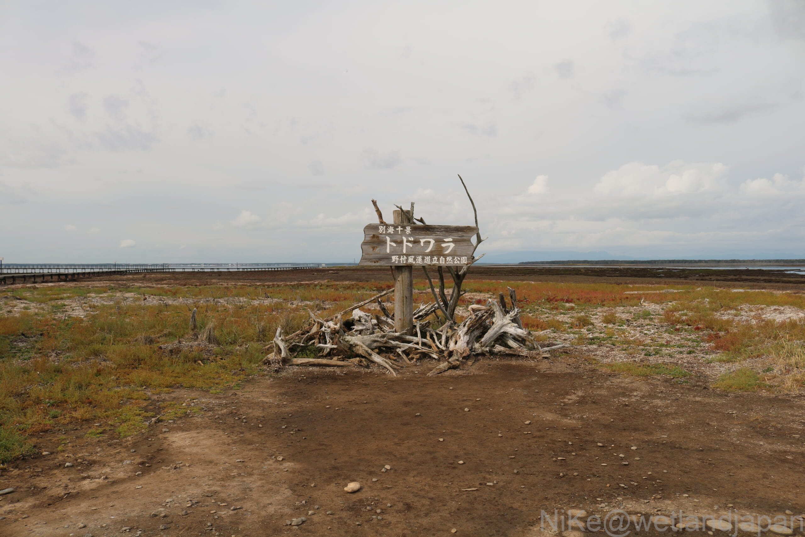
Grasslands of salt flats and wetlands
There were several deer on the tidal flats.
I visited when the tide was beginning to rise from low tide, so the area looked like a wetland. However, at high tide, seawater comes in, creating an inlet, and the areas with trees might look like islands.
Even in this harsh environment, the trees stand firm. The grasses growing around them appear to be reeds or sedges, which are resistant to saltwater.
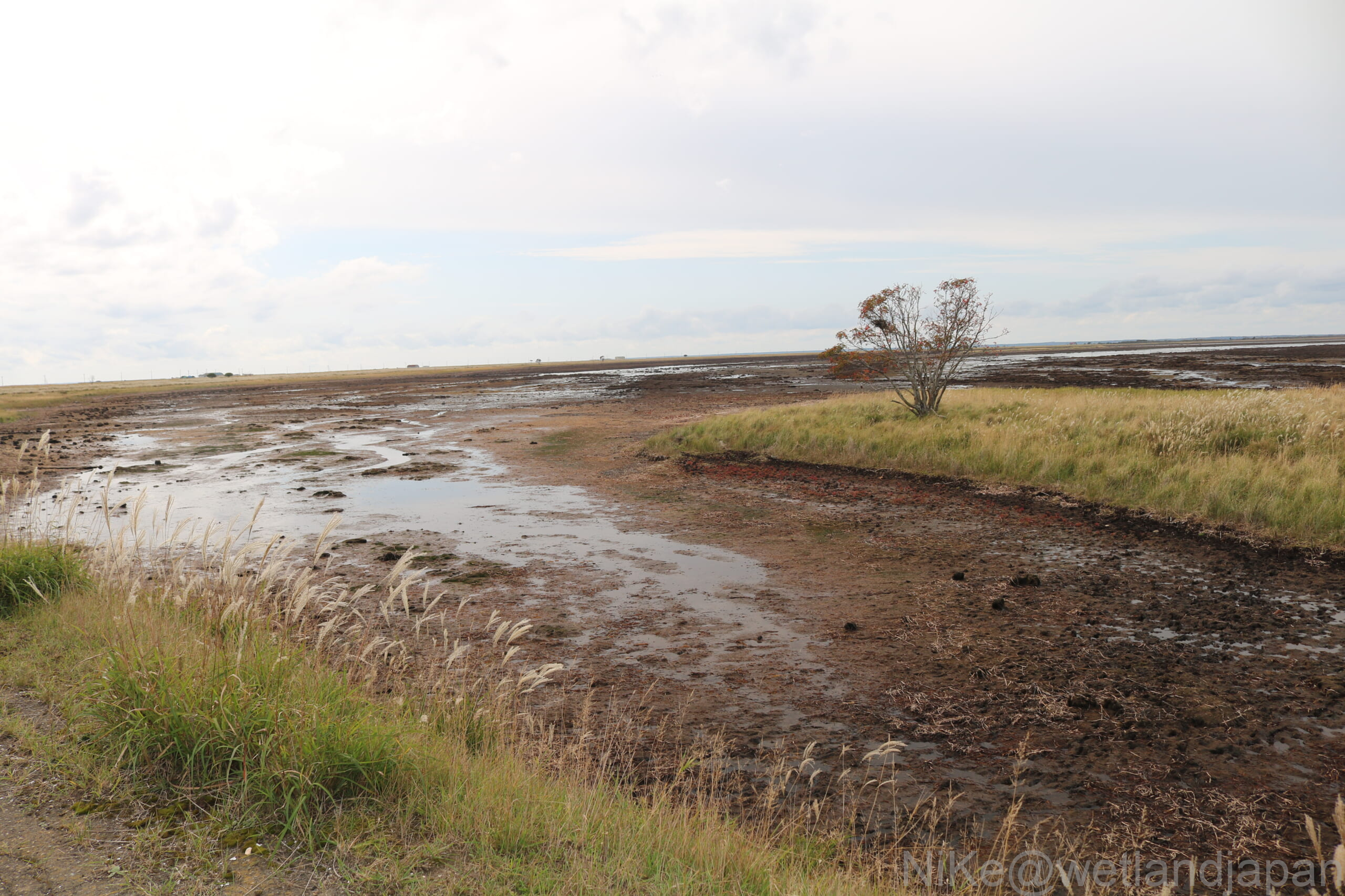
September 28th, Shunkokudai Wild Bird Park
Shunkokudai is a sandbar facing Nemuro Bay, separating Lake Furen from the sea.
It is believed to have formed between approximately 3,000 and 1,000 years ago, and to have evolved into its current form.
Here, we were able to walk through and see a truly diverse range of natural environments, including forests, dead trees, grasslands, wetlands, lakes, and salt marshes.
In the city, I was able to encounter plants and animals that I usually only see on postcards.
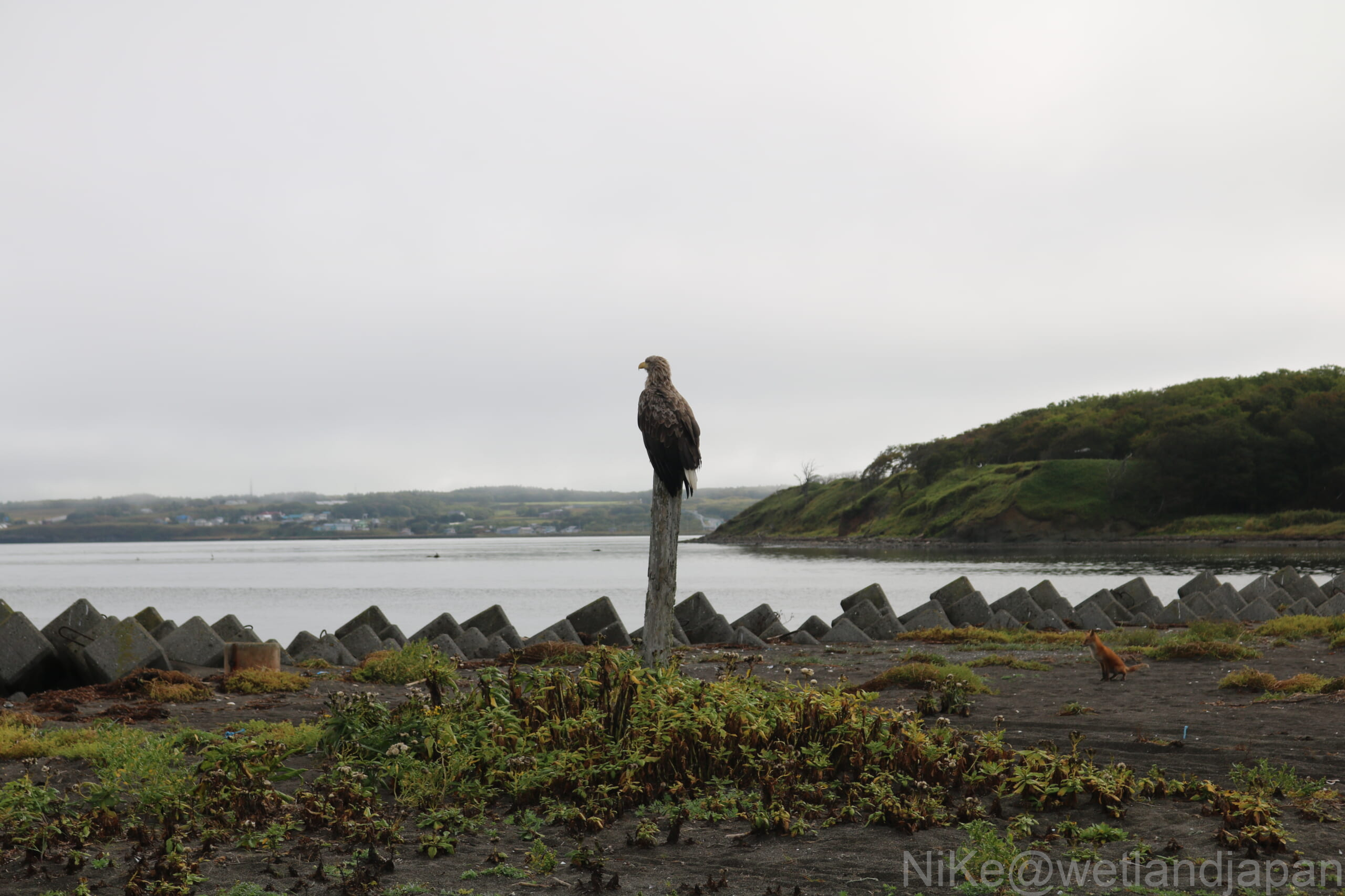
I was able to take the photo from a distance of approximately 15 meters.
Coral grass (Salicornia europaea)
Along the boardwalk on the "Hibari Course" of the First Beach Embankment, we saw glasswort (Salicornia europaea) on both sides.
Coral grass is a highly saline plant that grows in salt marshes. It appears that it can be used for soil improvement and greening in areas damaged by saltwater pollution, such as tsunamis.
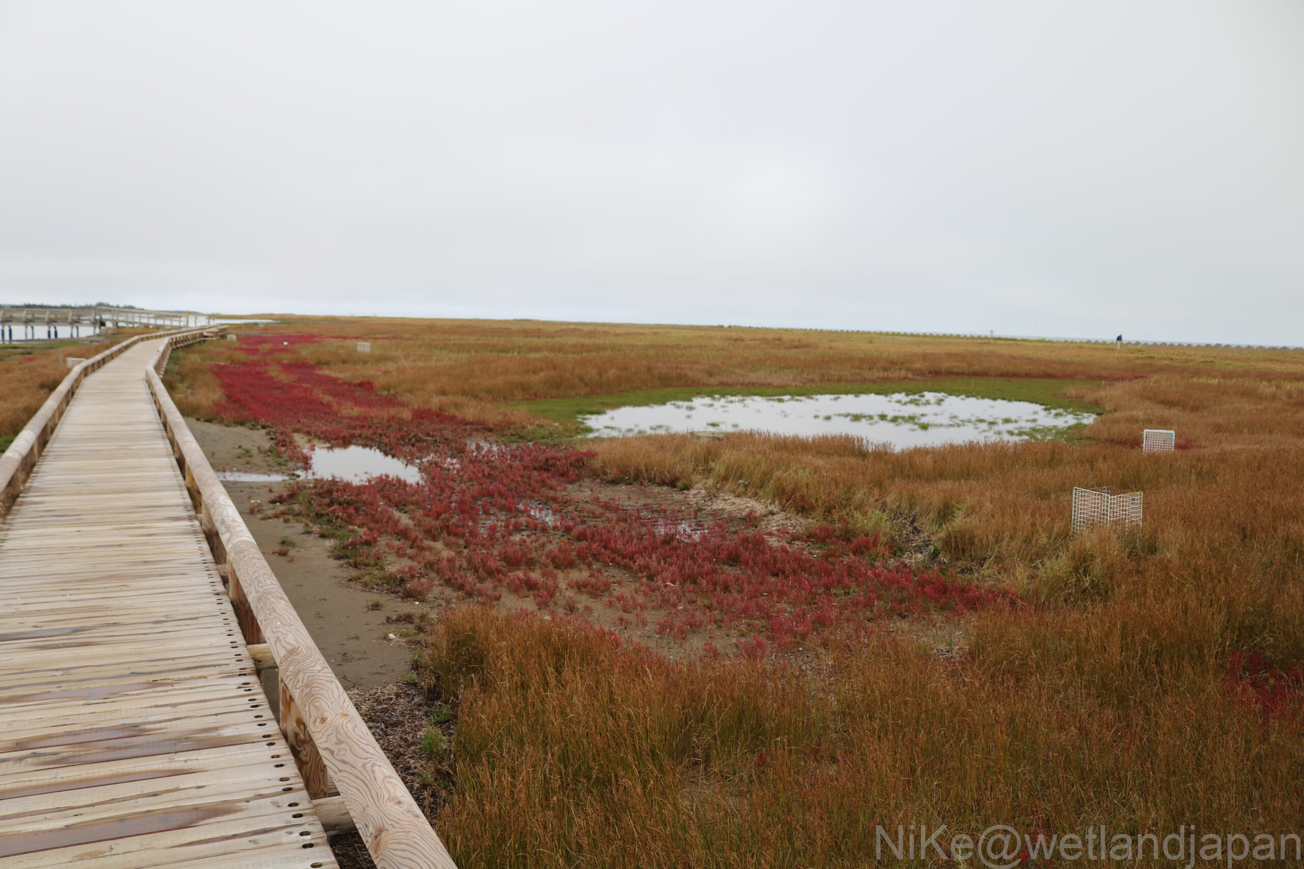
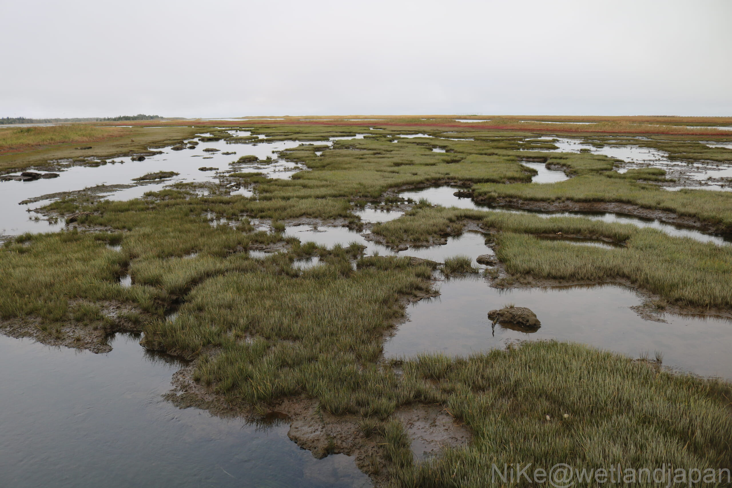
Shunkokudai Wetlands
Wetlands that are low-lying and contain water tend to look more like wetlands.
Shunkokudai is a sandbar, but it is surrounded by the sea and lakes, and also has enclosed freshwater areas that are less affected by waves.
In these areas, peat layers formed, and floating islands also emerged, eventually giving rise to the wetlands we see today.
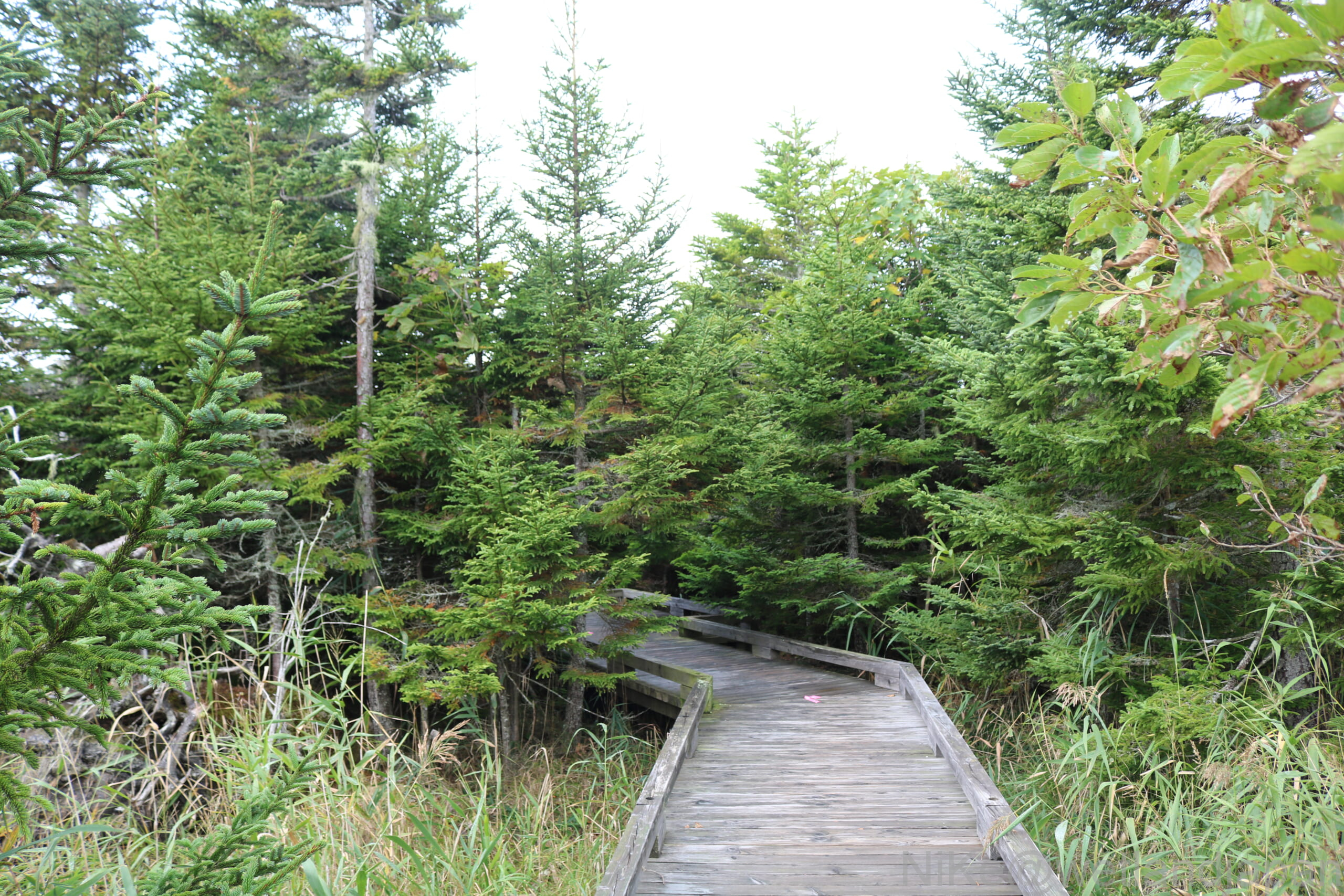
fir forest
In Shunkokudai, three sand dunes have been formed in sequence, affected by major earthquakes and tsunamis.
The older the sand dunes, the earlier they were formed and the higher their elevation, creating conditions suitable for the growth of fir trees, which has led to the formation of forests.
Looking back on the trip
Looking back on this walking trip, I realize that the research I did during the planning stage only scratched the surface.
From a global perspective, even this small area is affected by crustal movements, and the Notsuke Peninsula may disappear sooner than expected.
The Bekanbeushi Marsh and Kiritappu Marsh presented lush, vibrant landscapes. On the other hand, the Notsuke Peninsula offered a desolate landscape that evoked the feeling of "the end of the world."
Furthermore, at Shunkokudai, I was amazed to find such a diverse range of natural environments in such a small area, including broadleaf forests, coniferous forests, grasslands, wetlands, lakes, rivers, tidal flats, and salt marshes.
Although they are all coastal regions in eastern Hokkaido, each area has a different history and landscape, and the flora and fauna that inhabit them are also diverse.
There was so much I only understood after actually visiting, and the trip was full of discoveries and insights that I hadn't imagined during the planning stage.
 ENGLISH
 JAPANESE
Comments